
1970 Map of Nola
USGS Topo · Published 1972About this map
Lake Mary Crawford serves as a central landmark in this 1970 snapshot of the Lawrence County countryside, reflecting the area's recreational development alongside older agricultural patterns. The eastern edge of the survey captures the town of Monticello, where the Radio Tower (WMLC) stands near a concentration of local roads. Moving westward, the landscape transitions into a network of small settlements and rural congregations, including Mt Pleasant Ch, New Zion Ch, and Rock Hill Ch. The physical geography is defined by the winding course of the Fair River and numerous tributaries such as Bear Creek and Kings Creek. Infrastructure from different eras is visible side-by-side, from the active Gulf Mobile and Ohio line passing through Rosella to an Old Railroad Grade that speaks to former timber or transit routes. Extensive Gravel Pits are scattered throughout the hills, indicating the importance of local extraction industries during this period.
Find a feature on this map
20 named features on this map. Tap any name to fly to it.
Don’t see what you’re looking for? This feature index may not catch every label — zoom into the map to look around manually.
Map Details
Editions of this 1970 Nola Map
This is the sole edition of this map. No revisions or reprints were ever made.
Other maps of this area

1953 · Natchez
USGS Topo · 1:250,000

1956 · Natchez
USGS Topo · 1:250,000

1959 · Natchez
USGS Topo · 1:250,000

1970 · Topeka
USGS Topo · 1:24,000

1970 · Monticello
USGS Topo · 1:24,000
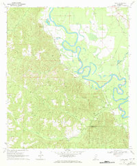
1970 · Tilton
USGS Topo · 1:24,000
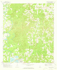
1971 · Monticello NE
USGS Topo · 1:24,000

1971 · Oma
USGS Topo · 1:24,000

1972 · Fair Oak Springs
USGS Topo · 1:24,000

1972 · Ruth
USGS Topo · 1:24,000