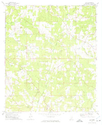
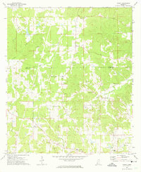
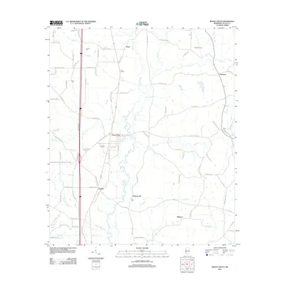
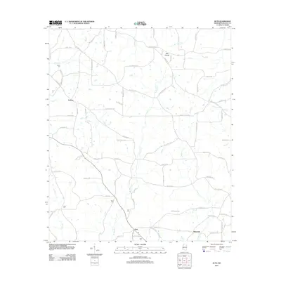
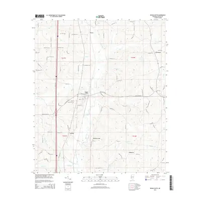
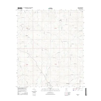
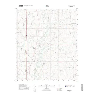
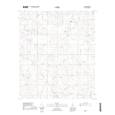
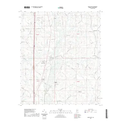
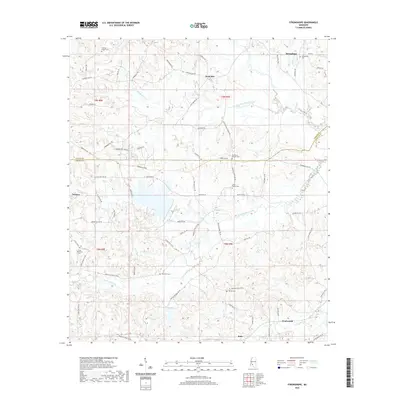
1972 Map of Ruth
USGS Topo · Published 1974About this map
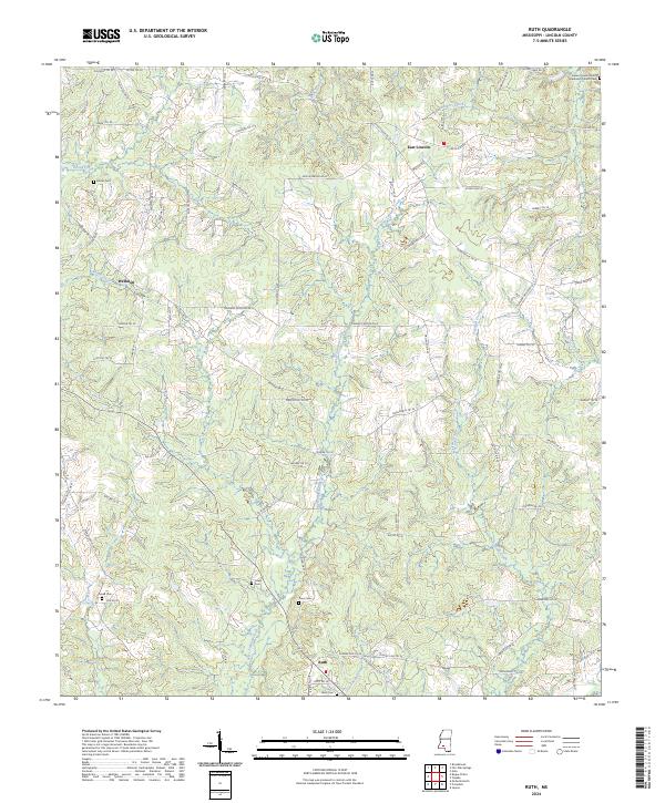
Ruth serves as a primary settlement hub in this rural stretch of Lincoln County, situated near the headwaters of West Topisaw Creek. The landscape is defined by the winding paths of East Topisaw Creek and several smaller tributaries like Boone Creek and Turkey Branch. For genealogists and local historians, the sheet is heavily marked with family-named landmarks and cemeteries, including Brister Cem, Moak Cem, and Rawls Cem.
Find a feature on this map
28 named features on this map. Tap any name to fly to it.
Don’t see what you’re looking for? This feature index may not catch every label — zoom into the map to look around manually.
Map Details
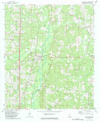
Editions of this 1972 Ruth Map
This is the sole edition of this map. No revisions or reprints were ever made.
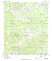
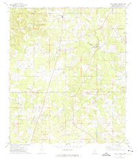
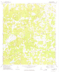
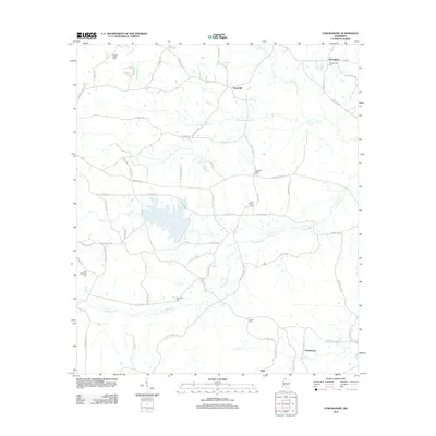
Historical Maps of Bristerville Through Time
48 maps found
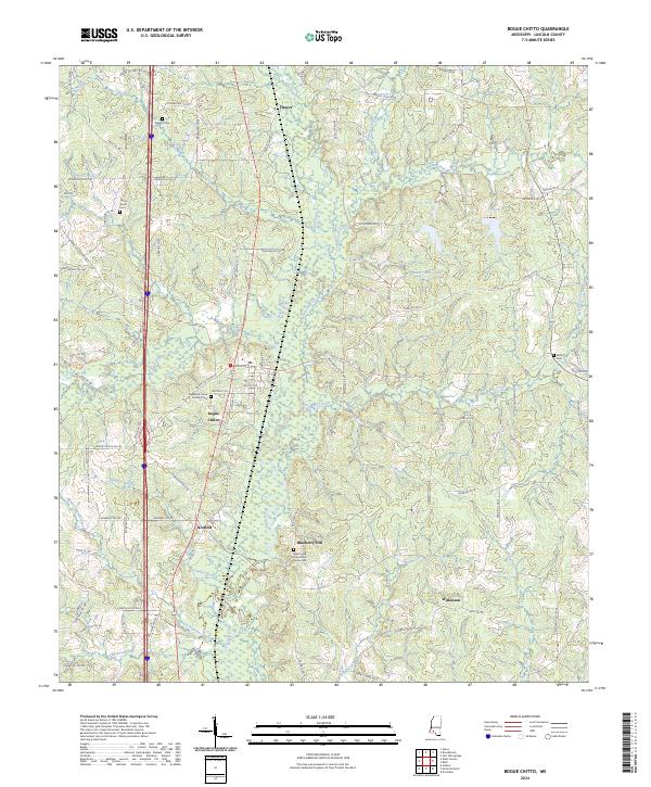
1972 Bogue Chitto
Lincoln County, MS
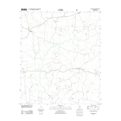
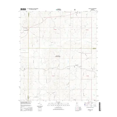
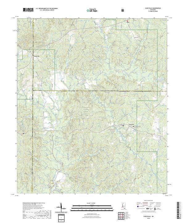
1972 Caseyville
Lincoln County, MS
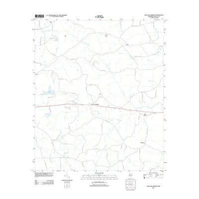
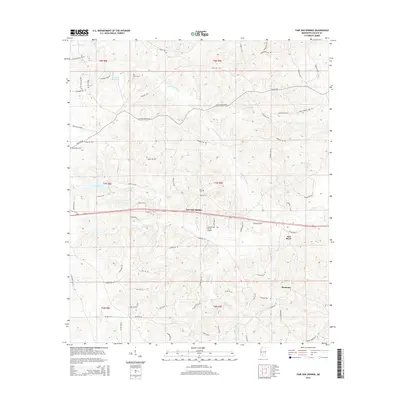
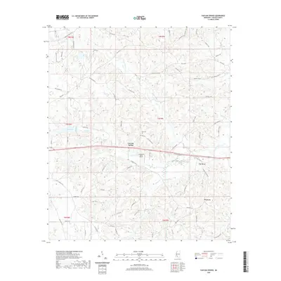
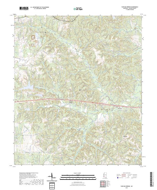
1972 Fair Oak Springs
Lincoln County, MS
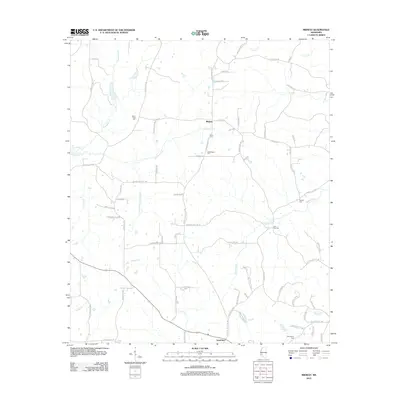
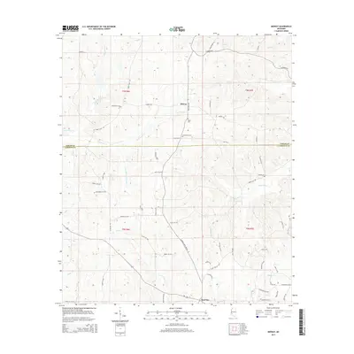
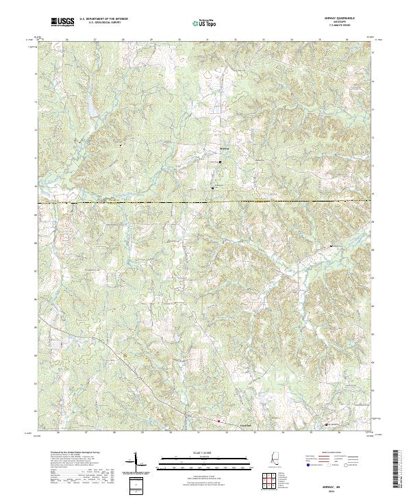
1972 Midway
Lincoln County, MS
1972 Ruth
Lincoln County, MS
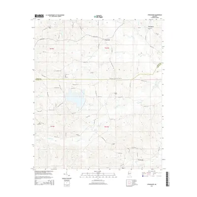
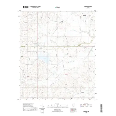
1972 Stronghope
Lincoln County, MS
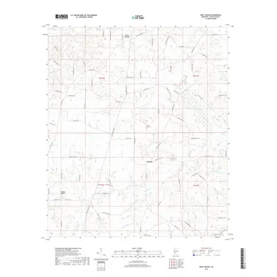
1972 West Lincoln
Lincoln County, MS
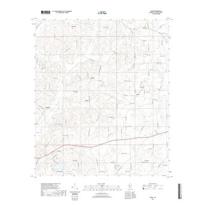
1972 Zetus
Lincoln County, MS
2012 Bogue Chitto
Lincoln County, MS
2012 Caseyville
Lincoln County, MS
2012 Fair Oak Springs
Lincoln County, MS
2012 Midway
Lincoln County, MS
2012 Ruth
Lincoln County, MS
2012 Stronghope
Lincoln County, MS
2012 West Lincoln
Lincoln County, MS
2012 Zetus
Lincoln County, MS
2015 Bogue Chitto
Lincoln County, MS
2015 Caseyville
Lincoln County, MS
2015 Fair Oak Springs
Lincoln County, MS
2015 Midway
Lincoln County, MS
2015 Ruth
Lincoln County, MS
2015 Stronghope
Lincoln County, MS
2015 West Lincoln
Lincoln County, MS
2015 Zetus
Lincoln County, MS
2018 Bogue Chitto
Lincoln County, MS
2018 Caseyville
Lincoln County, MS
2018 Fair Oak Springs
Lincoln County, MS
2018 Midway
Lincoln County, MS
2018 Ruth
Lincoln County, MS
2018 Stronghope
Lincoln County, MS
2018 West Lincoln
Lincoln County, MS
2018 Zetus
Lincoln County, MS
2020 Bogue Chitto
Lincoln County, MS
2020 Fair Oak Springs
Lincoln County, MS
2020 Midway
Lincoln County, MS
2020 Ruth
Lincoln County, MS
2020 Stronghope
Lincoln County, MS
2020 West Lincoln
Lincoln County, MS
2020 Zetus
Lincoln County, MS
2021 Caseyville
Lincoln County, MS
2024 Bogue Chitto
Lincoln County, MS
2024 Caseyville
Lincoln County, MS
2024 Fair Oak Springs
Lincoln County, MS
2024 Midway
Lincoln County, MS
2024 Ruth
Lincoln County, MS
2024 Stronghope
Lincoln County, MS
2024 West Lincoln
Lincoln County, MS
2024 Zetus
Lincoln County, MS