
1972 Map of Bogue Chitto
USGS Topo · Published 1974About this map
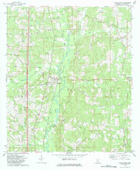
The Illinois Central Gulf Railroad bisects this Lincoln County landscape, serving as the central artery for the established settlements of Bogue Chitto and Norfield during the early 1970s. The region's economy is visibly tied to both traditional agriculture and heavy industry, evidenced by the extensive Mallalieu Oil Field in the northeast and numerous gravel pits scattered across the terrain.
Find a feature on this map
46 named features on this map. Tap any name to fly to it.
Don’t see what you’re looking for? This feature index may not catch every label — zoom into the map to look around manually.
Map Details
Editions of this 1972 Bogue Chitto Map
2 editions found
Other maps of this area

1953 · Natchez
USGS Topo · 1:250,000

1956 · Natchez
USGS Topo · 1:250,000

1959 · Natchez
USGS Topo · 1:250,000

1972 · West Lincoln
USGS Topo · 1:24,000

1972 · Fair Oak Springs
USGS Topo · 1:24,000

1972 · Auburn
USGS Topo · 1:24,000

1972 · Ruth
USGS Topo · 1:24,000

1972 · Pricedale
USGS Topo · 1:24,000

1972 · Brookhaven
USGS Topo · 1:24,000
1972 · Zetus
USGS Topo · 1:24,000