Old Maps of Saltillo, Mississippi for Genealogy
Trace your family roots with 20 historic maps of Saltillo. These high-res maps reveal old neighborhoods, homesites, landmarks, and streets — helping you uncover where your ancestors lived and how the area evolved over time.
- Explore historic neighborhoods: Identify where your relatives may have lived in the 1800s or 1900s.
- Compare maps over time: Trace the changes in streets, buildings, and landmarks for multi-generational research.
- Perfect for genealogy & ancestry research: Used by family historians and researchers to map out lineage and migration.
These maps are an incredible resource for exploring your personal connection to Saltillo's past.
Saltillo, MS maps
(20)- 1921 Map of Tupelo
 1921 Tupelo1921 Print · USGSNortheast Mississippi in the early twenties centers on the rail hub at Tupelo as it begins to connect with the fledgling Bankhead Highway system. Genealogists and local historians can trace rural family life through numerous landmarks like Campbelltown Cemetery, Clayton Store, and the Pratts School.2 unique versions available
 - 1923 Map of Tupelo
 1923 Tupelo1923 Print · USGSLee County in the early twenties is a landscape of rural schoolhouses and rail junctions centered on the growing hub of Tupelo. Researchers can trace old family footprints at Campbelltown Cemetery or locate vanished sites like Kirks Gin and Beech Springs School.2 unique versions available
 - 1956 Map of Tupelo, 1967 Print
 1956 Tupelo1967 Print · USGSNortheast Mississippi and parts of Tennessee and Alabama are shown here during the mid-fifties, a time of major reservoir construction and forestry management. Researchers can trace the St Louis-San Francisco RR through Tupelo or locate historic sites like Tishomingo State Park and the University.2 unique versions available
 - 1958 Map of Tupelo
 1958 Tupelo1958 Print · USGSNortheast Mississippi and neighboring Alabama and Tennessee appear here during the late fifties as a region defined by new reservoirs and historic rail lines. Genealogists can trace family locations near Sardis Lake, Woodall Mountain, and the St Louis-San Francisco Ry.
 - 1973 Map of Guntown, 1975 Print
 1973 Guntown1975 Print · USGSNortheast Mississippi in the early seventies shows a landscape transitioning between traditional railroad towns and new recreational developments. Genealogists and local historians can trace family-named landmarks like Campbelltown Cem, Euclatubba Ch, and the emerging Natchez Trace Parkway.
 - 1973 Map of Tupelo, 1975 Print
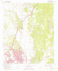 1973 Tupelo1975 Print · USGSTupelo and Lee County are captured here during a period of significant growth and rail-based industry in the early seventies. Genealogists and historians can trace family locations near Fellowship Ch, Beech Springs, or the Chickasaw Village Site.2 unique versions available
 - 1984 Map of Tupelo
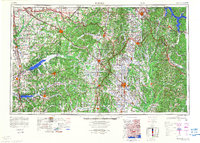 1984 Tupelo1984 Print · USGSNorth Mississippi in the 1980s is defined by its massive river basin reservoirs and the growing regional hubs of Tupelo and Oxford. Researchers can trace the legacy of the Pontotoc Ridge, find the University of Mississippi, and map early Interstate corridors near Sardis Lake.3 unique versions available
 - 1984 Map of Tupelo, 1985 Print
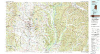 1984 Tupelo1985 Print · USGSNortheast Mississippi and the Alabama borderlands are shown in the mid-1980s as timber and river networks shaped the region. Trace local history through the Illinois Central Gulf rail line and sites like the Old Natchez Trace Parkway.
 - 1992 Map of Guntown, 1995 Print
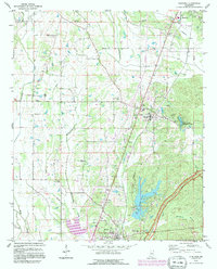 1992 Guntown1995 Print · USGSNortheast Mississippi’s Lee County is shown here in the early nineties during a period of infrastructure growth and rural continuity. Researchers can locate many local landmarks, from the Natchez Trace Parkway to old family plots like Gaston Cem and Campbelltown Cem.
 - 1992 Map of Tupelo, 1995 Print
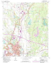 1992 Tupelo1995 Print · USGSTupelo and Saltillo are shown in the early nineties as the region balanced modern growth with its deep cultural roots. Trace family history and local landmarks through sites like the Chickasaw Village Site, Elvis Presley Lake, and the Tupelo National Battlefield.2 unique versions available
 - 2012 Map of Tupelo, 2012 Print
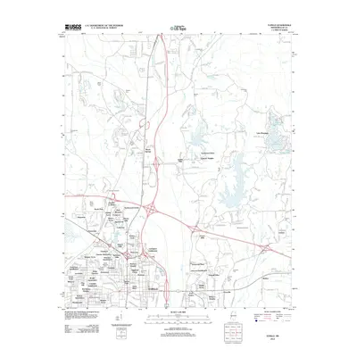 2012 Tupelo2012 Print · USGSLee County at the start of the twenty-first century shows a landscape of steady growth around the legendary Natchez Trace. Researchers can trace family roots through numerous burial sites like Priceville Cem or locate the Tupelo National Battlefield and Springhill Church.
 - 2012 Map of Guntown, 2012 Print
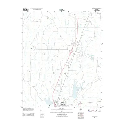 2012 Guntown2012 Print · USGSLee County at the start of the 2010s shows a landscape defined by its small towns and dozens of ancestral burial grounds. Genealogists can locate family-named sites like Gaston Cem and Francis Family Cem or explore landmarks such as Lake Lamar Bruce.
 - 2015 Map of Tupelo, 2015 Print
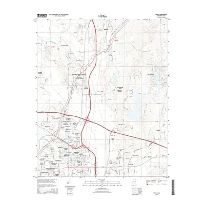 2015 Tupelo2015 Print · USGSTupelo and the surrounding Lee County countryside are documented here during a period of significant suburban expansion. Researchers can trace ancestral sites at Fellowship Cem and Shipley Cem or locate the historic Tupelo National Battlefield.
 - 2015 Map of Guntown, 2015 Print
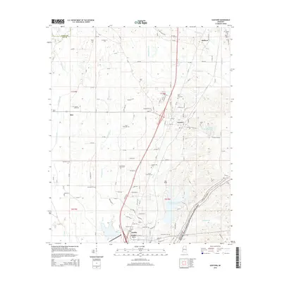 2015 Guntown2015 Print · USGSIn this 2015 survey of northeast Mississippi, the landscape is defined by the historic corridor of the Natchez Trace. Genealogists can trace family heritage through numerous burial sites like Gaston Cem and Smith Cem or the waters of Euclautubba Cr.
 - 2018 Map of Tupelo, 2018 Print
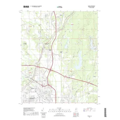 2018 Tupelo2018 Print · USGSTupelo and northern Lee County are shown in the late 2010s, capturing a landscape where Civil War history meets modern growth. Genealogists can trace family heritage through sites like Glenwood Cem and Shipley Cem near the Kansas City Southern rail line.
 - 2018 Map of Guntown, 2018 Print
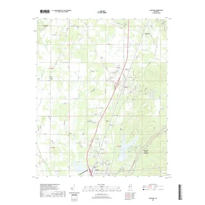 2018 Guntown2018 Print · USGSThe northern Lee County hills come into focus in the late 2010s, centered on the growing towns of Saltillo and Guntown. Genealogists can trace family heritage through a remarkable number of local burial sites, from the Masonic Cem to the Taylor Family Cem.
 - 2020 Map of Guntown, 2020 Print
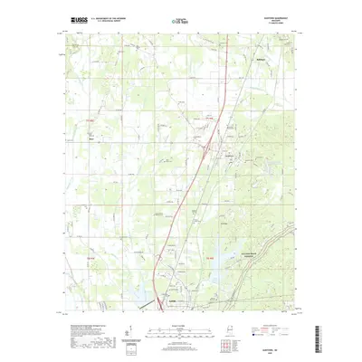 2020 Guntown2020 Print · USGSNortheast Mississippi’s rail and ridge communities are captured here in the contemporary era. Genealogists can trace deep local roots through family and community landmarks like Old Bethel Cem, Taylor Family Cem, and Pea Ridge.
 - 2021 Map of Tupelo, 2021 Print
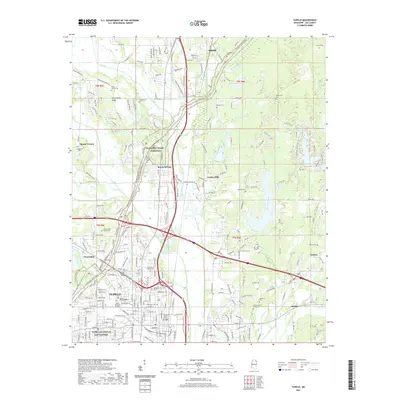 2021 Tupelo2021 Print · USGSThe crossroads of northeastern Mississippi come alive in this survey of Lee County, from the urban streets of Tupelo to the historic Natchez Trace Parkway. Researchers can trace local lineage through dozens of sites like the Bolen Family Cem, Shipley Cem, and Tupelo National Battlefield.
 - 2024 Map of Guntown, 2024 Print
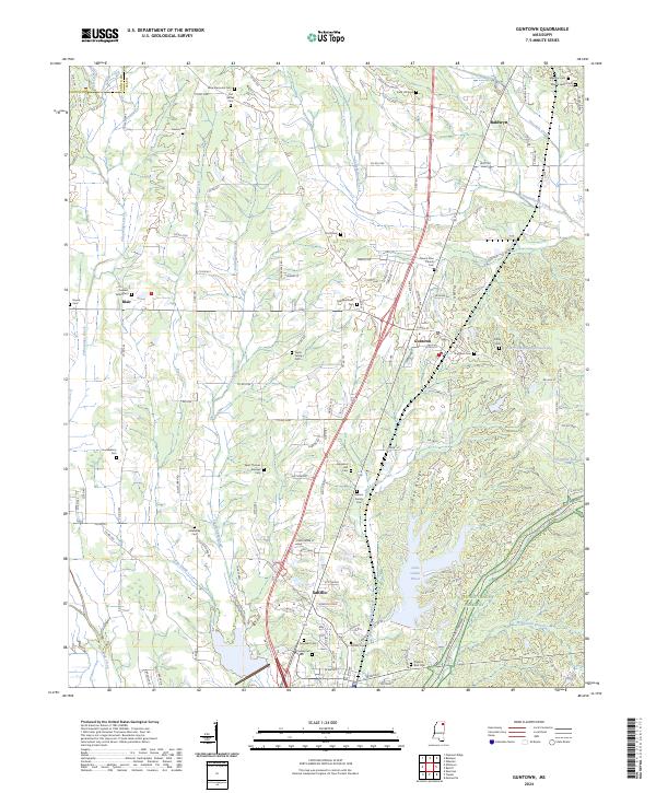 2024 Guntown2024 Print · USGSLee County communities come into focus in this contemporary survey, capturing the landscape between Guntown and Saltillo. Genealogists can trace family heritage through numerous sites like Old Bethel Cem, Mount Zion Church Cem, and the waters of Lake Lamar Bruce.
 - 2024 Map of Tupelo, 2024 Print
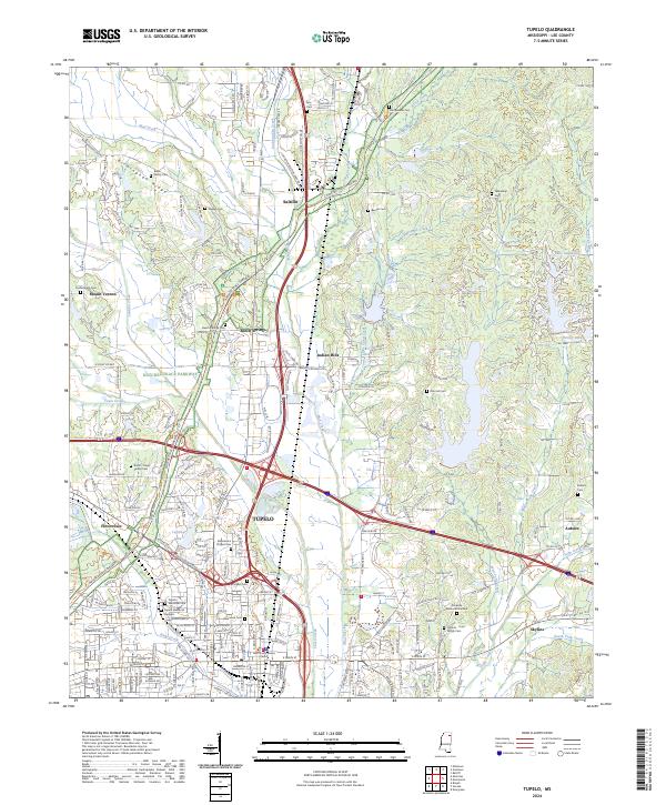 2024 Tupelo2024 Print · USGSLee County at the present day reflects a deep intersection of Civil War heritage and modern Mississippi life. Genealogists and historians can locate numerous family burial sites like Bolin Family Cem and Shipley Cem, or trace the grounds of the Tupelo National Battlefield and the iconic Natchez Trace Parkway.
End of results
Showing maps 1-20 of 20
Top cities near Saltillo
- Tupelo historical maps
- Verona historical maps
- Baldwyn historical maps
- Guntown historical maps
- Plantersville historical maps
- Mantachie historical maps
See more
Top neighborhoods of Saltillo
Frequently asked questions
- What are the different types of historical maps available for Saltillo?
- What is the oldest map of Saltillo?
- Where can I purchase historical maps of Saltillo for my home or office?
- Where can I download high-res historical maps of Saltillo?
- Are there historical topographic maps available for Saltillo?
- Is there historical aerial imagery available for Saltillo?
- Where are historical maps of Saltillo sourced from?