Old Maps of Columbia, Mississippi for Academic Research
Study the evolution of Columbia with 17 high-resolution historic maps. Whether you're teaching, researching, or modeling changes in land use, these maps provide essential visual documentation of urban, environmental, and geographic change.
- Analyze long-term change: Track patterns in development, transportation, and natural features.
- Ideal for environmental or urban studies: Support academic projects with primary historical map data.
- Use in the classroom or lab: Educators and researchers rely on these maps to bring historical context to life.
These maps are a powerful tool for teaching, research, and visualizing how Columbia has changed over the decades.
Columbia, MS maps
(17)- 1953 Map of Hattiesburg, 1965 Print
 1953 Hattiesburg1965 Print · USGSSouth Mississippi and western Alabama are shown here during the mid-twentieth century as the timber and rail industries shaped the region. Genealogists and historians can trace rail lines like the Mississippi Central and locate rural centers such as Magee, Richton, and Mount Vernon.4 unique versions available
 - 1958 Map of Hattiesburg
 1958 Hattiesburg1958 Print · USGSSoutheastern Mississippi's timber and rail networks are at their peak during the late fifties, centered on the growing hubs of Hattiesburg and Laurel. Researchers can trace old family landmarks like Sims Chapel, the Busbey Game Refuge, and the vanished stops along the Mississippi Central railroad.2 unique versions available
 - 1970 Map of Columbia South, 1972 Print
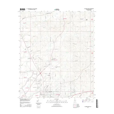
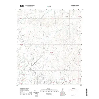
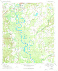 1970 Columbia South1972 Print · USGSMarion County's river-bottom landscape comes alive in the early seventies, centered on the winding Pearl River south of Columbia. Genealogists and local historians can locate early settlements like Foxworth and Pickwick, or trace the grounds of St Paul Ch and Sunflower Ch Cem.2 unique versions available
 - 1970 Map of Columbia North, 1972 Print
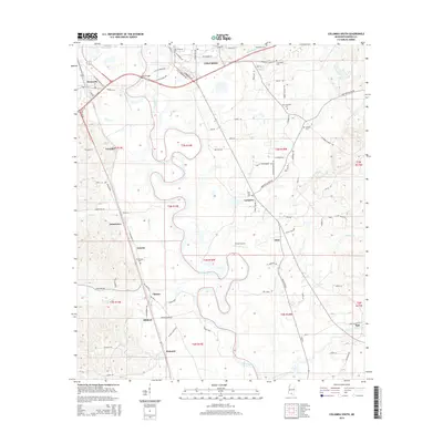
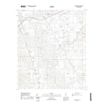
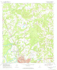 1970 Columbia North1972 Print · USGSColumbia was expanding into the Marion County hills during the late sixties, a period of transition between its rail-river roots and modern infrastructure. Researchers can trace family sites at Harmony Ch and Pope Cem or locate the old Drive-in Theater.3 unique versions available
 - 1984 Map of Hattiesburg
 1984 Hattiesburg1984 Print · USGSSouth Mississippi’s Pine Belt is seen here in the mid-eighties, showing the region as a hub of timber production and petroleum extraction. Trace the rail lines of the Illinois Central Gulf RR through old settlements like Richton or the energy developments at the Heidelberg Oil Field.2 unique versions available
 - 1984 Map of Hattiesburg
 1984 Hattiesburg1984 Print · USGSSouth Mississippi’s timber and military heartland comes into focus during the mid-eighties, centering on the hub of Hattiesburg and the winding Pearl River. Researchers can trace the rail lines of the Illinois Central Gulf through old towns like Bassfield and Sumrall, or locate rural landmarks like Society Hill Ch.
 - 1994 Map of Hattiesburg, 1995 Print
 1994 Hattiesburg1995 Print · USGSSouth-central Mississippi's river valleys and timberlands are seen here in the mid-1990s as the region's transport network matured. Researchers can trace rural lineages through sites like Old Pioneer Cem and Spring Cottage or explore the vast Camp Shelby Military Reservation.
 - 2012 Map of Columbia North, 2012 Print
 2012 Columbia North2012 Print · USGSCovers Columbia, including Expose, Harmony, and other nearby areas
 - 2012 Map of Columbia South, 2012 Print
 2012 Columbia South2012 Print · USGSCovers Columbia, including Cheraw, Lampton, and other nearby areas
 - 2015 Map of Columbia North, 2015 Print
 2015 Columbia North2015 Print · USGSCovers Columbia, including Expose, Harmony, and other nearby areas
 - 2015 Map of Columbia South, 2015 Print
 2015 Columbia South2015 Print · USGSCovers Columbia, including Cheraw, Lampton, and other nearby areas
 - 2018 Map of Columbia South, 2018 Print
 2018 Columbia South2018 Print · USGSCovers Columbia, including Cheraw, Lampton, and other nearby areas
 - 2018 Map of Columbia North, 2018 Print
 2018 Columbia North2018 Print · USGSCovers Columbia, including Expose, Harmony, and other nearby areas
 - 2020 Map of Columbia South, 2020 Print
 2020 Columbia South2020 Print · USGSCovers Columbia, including Cheraw, Lampton, and other nearby areas
 - 2020 Map of Columbia North, 2020 Print
 2020 Columbia North2020 Print · USGSCovers Columbia, including Expose, Harmony, and other nearby areas
 - 2024 Map of Columbia North, 2024 Print
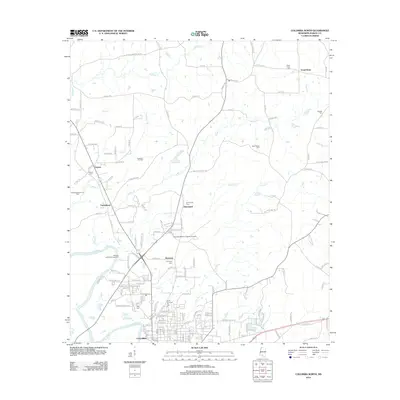
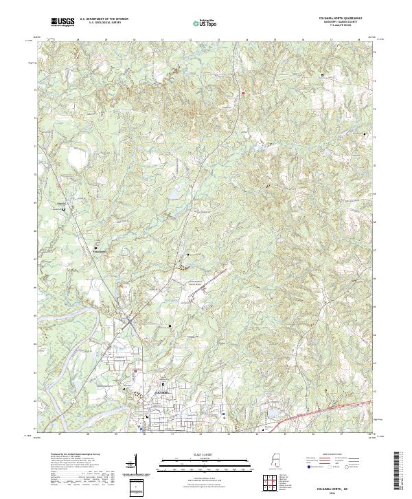 2024 Columbia North2024 Print · USGSMarion County comes into focus as the city of Columbia sits along the Pearl River in the early twenty-first century. Researchers can trace family history through a dozen local burial sites including Woodlawn Cem, Pope Cem, and Harmony Cem.
 - 2024 Map of Columbia South, 2024 Print
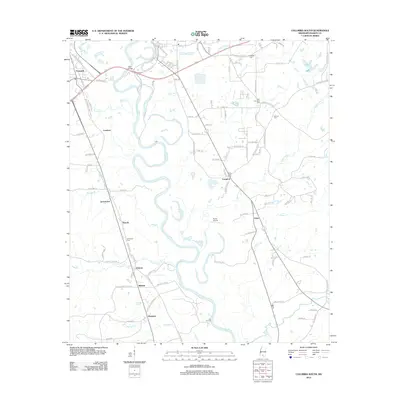
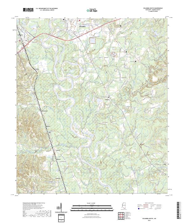 2024 Columbia South2024 Print · USGSMarion County south of Columbia is defined by the winding Pearl River valley in the early 2020s. Genealogists and local historians can trace family locations near New Zion Cem, Antioch Church, and the settlement of Jamestown.
End of results
Showing maps 1-17 of 17
Top cities near Columbia
Frequently asked questions
- What are the different types of historical maps available for Columbia?
- What is the oldest map of Columbia?
- Where can I purchase historical maps of Columbia for my home or office?
- Where can I download high-res historical maps of Columbia?
- Are there historical topographic maps available for Columbia?
- Is there historical aerial imagery available for Columbia?
- Where are historical maps of Columbia sourced from?