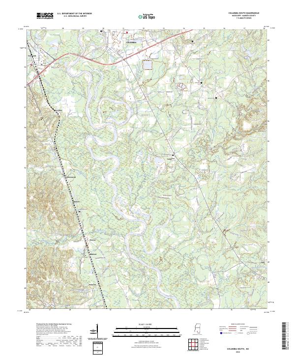
2024 Map of Columbia South
USGS Topo · Published 2024About this map
The Pearl River carves a massive, serpentine path through this section of Marion County, creating a complex landscape of oxbows and swampy lowlands south of Columbia. This modern survey illustrates the proximity of several distinct rural communities, including Foxworth, Lampton, and Jamestown, which are connected by a network of historic routes like Old Foxworth Rd and Old Morgantown Rd. The area is notably dense with burial grounds and local landmarks that serve as vital touchstones for genealogists, including Friendship Cem, East Columbia Cem, and New Zion Cem. Aviation history is also present through smaller facilities such as Beets Airport and Porter Airport. This documentation of the river valley topography reveals how the winding Pearl River and its tributaries, such as Balls Mill Creek and Silver Creek, continue to dictate the placement of roads and settlements.
Find a feature on this map
107 named features on this map. Tap any name to fly to it.
Don’t see what you’re looking for? This feature index may not catch every label — zoom into the map to look around manually.
Map Details
Editions of this 2024 Columbia South Map
This is the sole edition of this map. No revisions or reprints were ever made.
Other maps of this area

1953 · Hattiesburg
USGS Topo · 1:250,000

1958 · Hattiesburg
USGS Topo · 1:250,000

1969 · Baxterville SW
USGS Topo · 1:24,000

1969 · Pinebur
USGS Topo · 1:24,000

1970 · Columbia South
USGS Topo · 1:24,000

1970 · Sandy Hook NW
USGS Topo · 1:24,000
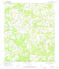
1970 · Dexter
USGS Topo · 1:24,000

1970 · Morgantown
USGS Topo · 1:24,000

1970 · Columbia North
USGS Topo · 1:24,000
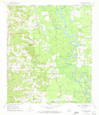
1970 · Sandy Hook
USGS Topo · 1:24,000