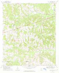
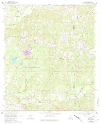
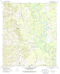
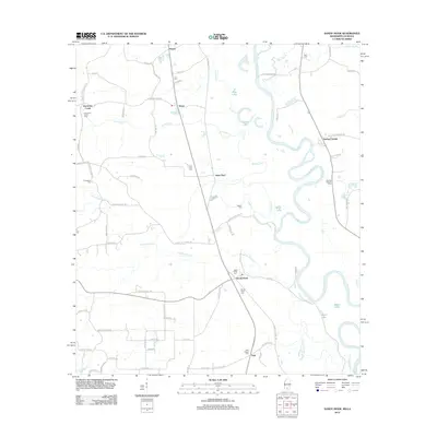
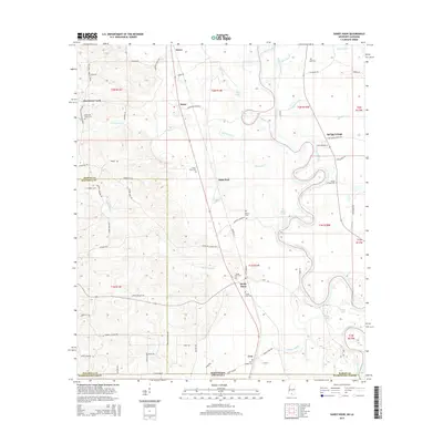
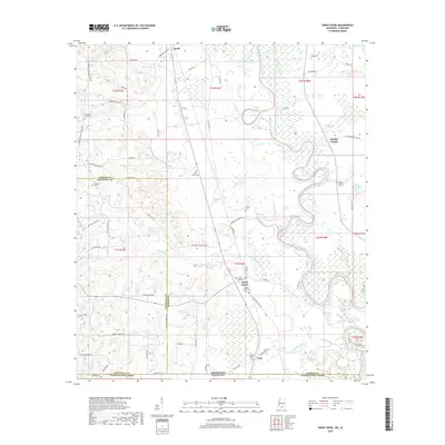
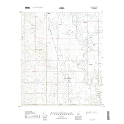
1970 Map of Sandy Hook NW
USGS Topo · Published 1972About this map
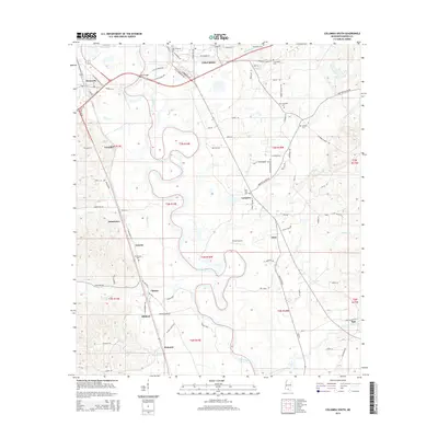
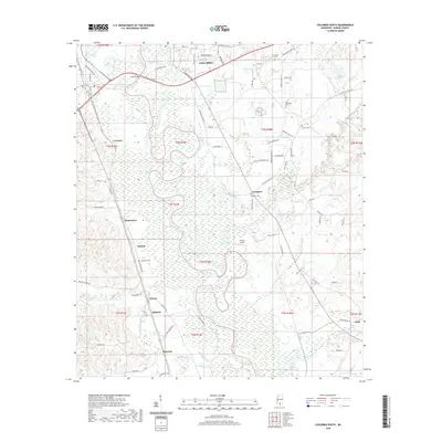
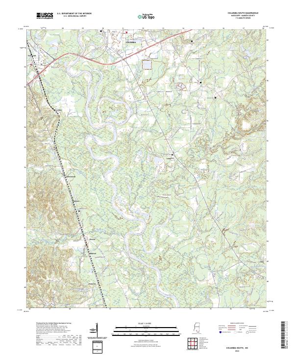
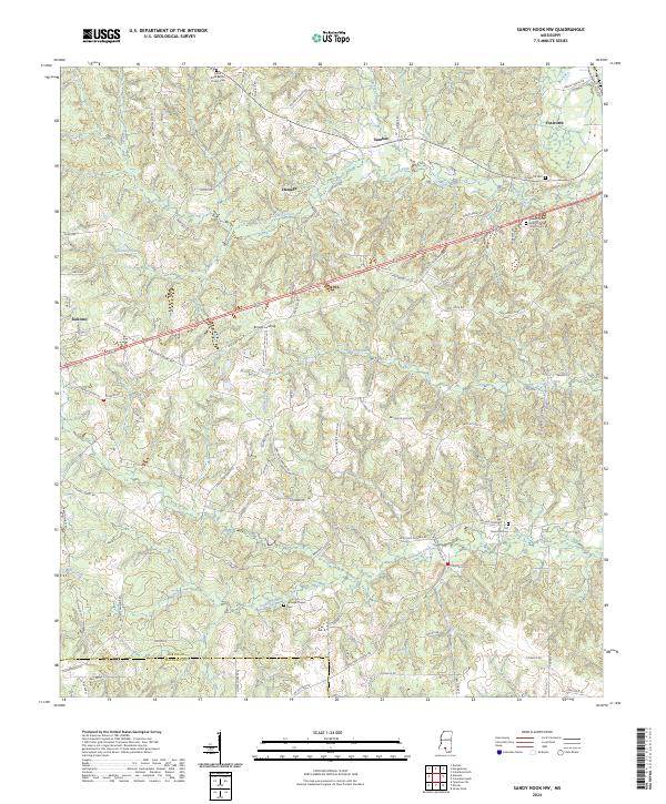
Foxworth and the rural communities of Hamage and Sumbax anchor this landscape along the border of Marion and Walthall Counties. During the early 1970s, the region was defined by a mix of natural waterways and industrious extraction, with numerous Gravel Pits and Gas Wells scattered across the creek-fed terrain. The Fernwood Columbia and Gulf railroad cuts diagonally through the center, providing a transportation corridor for the local economy.
Find a feature on this map
29 named features on this map. Tap any name to fly to it.
Don’t see what you’re looking for? This feature index may not catch every label — zoom into the map to look around manually.
Map Details
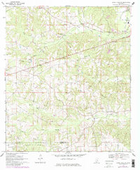
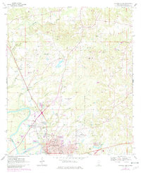
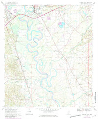
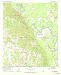
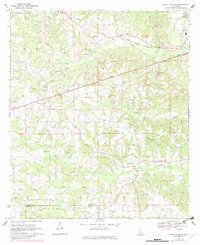
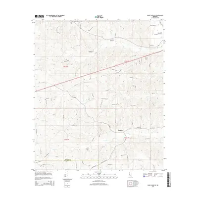
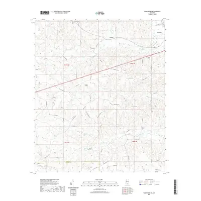
Editions of this 1970 Sandy Hook NW Map
3 editions found
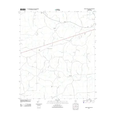
Historical Maps of Sumbax Through Time
48 maps found
1967 Shottsville
Marion County, MS
1969 Baxterville SW
Marion County, MS
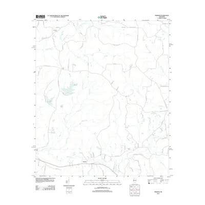
1969 Pinebur
Marion County, MS
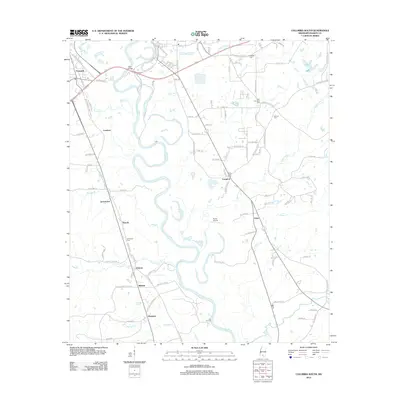
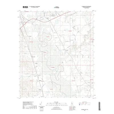
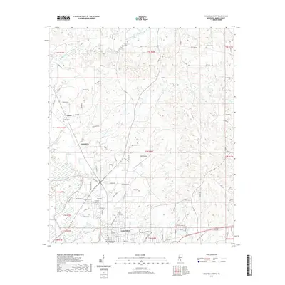
1970 Columbia North
Marion County, MS
1970 Columbia South
Marion County, MS
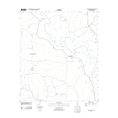
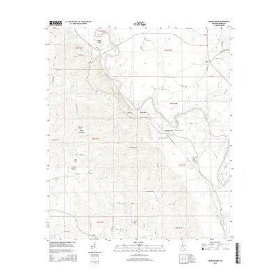
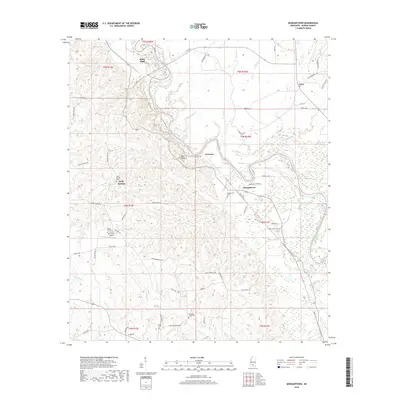
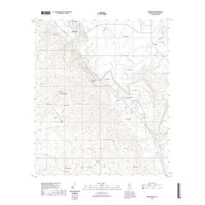
1970 Morgantown
Marion County, MS
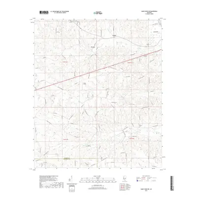
1970 Sandy Hook
Marion County, MS
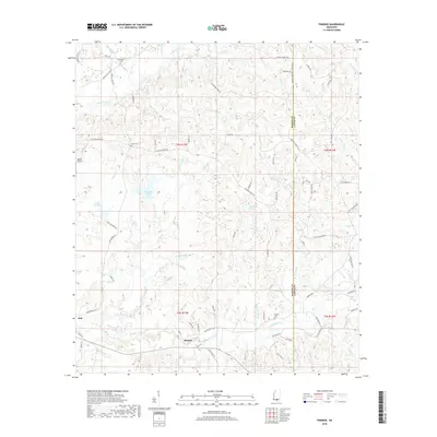
1970 Sandy Hook NW
Marion County, MS
2012 Baxterville SW
Marion County, MS
2012 Columbia North
Marion County, MS
2012 Columbia South
Marion County, MS
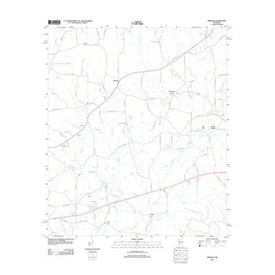
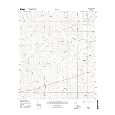
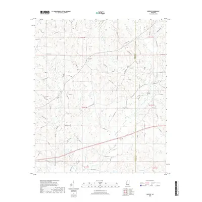
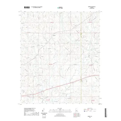
2012 Improve
Marion County, MS
2012 Morgantown
Marion County, MS
2012 Pinebur
Marion County, MS
2012 Sandy Hook
Marion County, MS
2012 Sandy Hook NW
Marion County, MS
2015 Baxterville SW
Marion County, MS
2015 Columbia North
Marion County, MS
2015 Columbia South
Marion County, MS
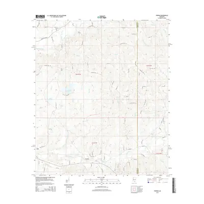
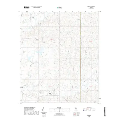
2015 Improve
Marion County, MS
2015 Morgantown
Marion County, MS
2015 Pinebur
Marion County, MS
2015 Sandy Hook
Marion County, MS
2015 Sandy Hook NW
Marion County, MS
2018 Baxterville SW
Marion County, MS
2018 Columbia North
Marion County, MS
2018 Columbia South
Marion County, MS
2018 Improve
Marion County, MS
2018 Morgantown
Marion County, MS
2018 Pinebur
Marion County, MS
2018 Sandy Hook
Marion County, MS
2018 Sandy Hook NW
Marion County, MS
2020 Baxterville SW
Marion County, MS
2020 Columbia North
Marion County, MS
2020 Columbia South
Marion County, MS
2020 Improve
Marion County, MS
2020 Morgantown
Marion County, MS
2020 Pinebur
Marion County, MS
2020 Sandy Hook
Marion County, MS
2020 Sandy Hook NW
Marion County, MS
2024 Baxterville SW
Marion County, MS
2024 Columbia North
Marion County, MS
2024 Columbia South
Marion County, MS
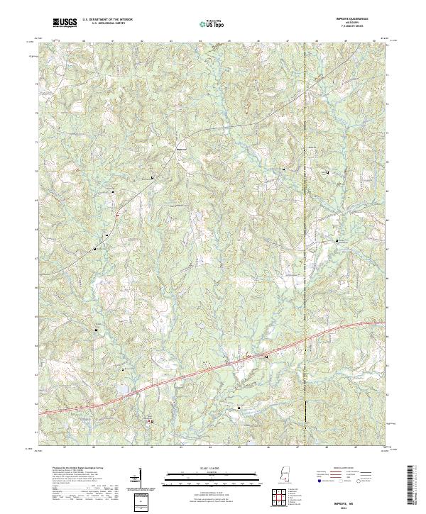
2024 Improve
Marion County, MS
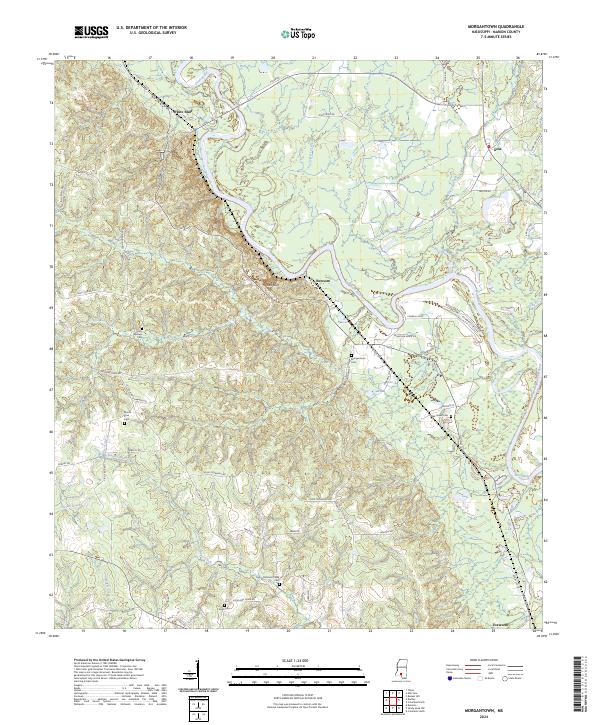
2024 Morgantown
Marion County, MS
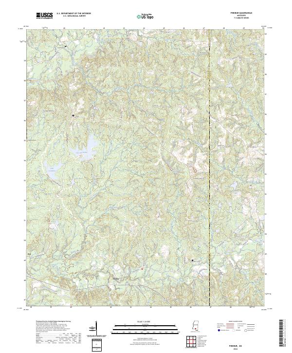
2024 Pinebur
Marion County, MS
2024 Sandy Hook
Marion County, MS
2024 Sandy Hook NW
Marion County, MS