1970 Map of Tylertown SE
USGS Topo · Published 1972About this map
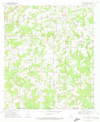
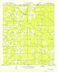
Pushepatapa Creek and its tributaries carve a winding path through the borderlands of Walthall County and Washington Parish, marking the line between Mississippi and Louisiana. In the early 1970s, this landscape was defined by small rural settlements and a dense network of country churches and family burial grounds. The community of Kirklin sits near the western edge, while scattered landmarks like New Zion Ch and Magee Hill Ch served as central gathering points for local residents. A solitary Landing Strip and a modern Pipeline cut across the traditional terrain of gravel pits and small timber stands. From the Lookout Tower near Oral Ch to the quiet crossings of West Fork Pushepatapa Creek, the map documenting this transition period provides a clear view of the region's mid-century rural infrastructure and social geography.
Find a feature on this map
30 named features on this map. Tap any name to fly to it.
Don’t see what you’re looking for? This feature index may not catch every label — zoom into the map to look around manually.
Map Details
Editions of this 1970 Tylertown SE Map
2 editions found
Other maps of this area
1939 · Clifton
USGS Topo · 1:31,680
1942 · Thomas
USGS Topo · 1:31,680
1950 · Crains Creek
USGS Topo · 1:31,680

1953 · Hattiesburg
USGS Topo · 1:250,000

1953 · Natchez
USGS Topo · 1:250,000

1953 · Mobile
USGS Topo · 1:250,000

1954 · Baton Rouge
USGS Topo · 1:250,000

1956 · Natchez
USGS Topo · 1:250,000

1956 · Baton Rouge
USGS Topo · 1:250,000

1957 · Mobile
USGS Topo · 1:250,000