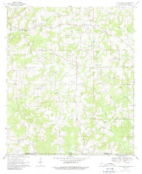
1970 Map of Tylertown SE
USGS Topo · Published 1988About this map
Pushepatapa Creek and its various branches, including the West Fork and East Fork, dominate this rural landscape along the Mississippi-Louisiana border. In the early 1970s, this area of Walthall County and Washington Parish remained a patchwork of family-named landmarks and small community centers. Small settlements like Davo, Carto, and Flowers are linked by a network of rural roads and the Columbia and Gulf route, while the presence of a Lookout Tower and numerous Gravel Pits points to the local timber and resource extraction industries. The map is particularly detailed regarding community life, showing a high density of country churches such as Magee Hill Ch and Gospel Hall Ch, alongside family burial grounds like Stogner Cem and Woods Cem.
Find a feature on this map
31 named features on this map. Tap any name to fly to it.
Don’t see what you’re looking for? This feature index may not catch every label — zoom into the map to look around manually.
Map Details
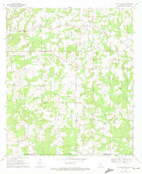
Editions of this 1970 Tylertown SE Map
2 editions found
Other maps of this area

1939 · Clifton
USGS Topo · 1:31,680

1942 · Thomas
USGS Topo · 1:31,680

1950 · Crains Creek
USGS Topo · 1:31,680

1953 · Hattiesburg
USGS Topo · 1:250,000

1953 · Natchez
USGS Topo · 1:250,000

1953 · Mobile
USGS Topo · 1:250,000

1954 · Baton Rouge
USGS Topo · 1:250,000

1956 · Natchez
USGS Topo · 1:250,000

1956 · Baton Rouge
USGS Topo · 1:250,000

1957 · Mobile
USGS Topo · 1:250,000