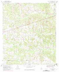
1970 Map of Sandy Hook NW
USGS Topo · Published 1982About this map
Foxworth and the rural communities of south-central Mississippi are captured here as they appeared during the transition to the early 1970s. The landscape is defined by the Illinois Central Gulf railroad, which cuts across the terrain near the small settlement of Sumbax. A pattern of traditional Southern rural life is visible through the density of country churches and family-named landmarks, including Little Rock Ch, Pleasant Hill Ch, and the Lott Memorial Cem.
Find a feature on this map
31 named features on this map. Tap any name to fly to it.
Don’t see what you’re looking for? This feature index may not catch every label — zoom into the map to look around manually.
Map Details
Editions of this 1970 Sandy Hook NW Map
3 editions found
Other maps of this area

1953 · Hattiesburg
USGS Topo · 1:250,000

1953 · Natchez
USGS Topo · 1:250,000

1956 · Natchez
USGS Topo · 1:250,000

1958 · Hattiesburg
USGS Topo · 1:250,000

1959 · Natchez
USGS Topo · 1:250,000

1970 · Columbia South
USGS Topo · 1:24,000

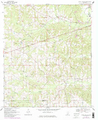
1970 · Sandy Hook NW
USGS Topo · 1:24,000
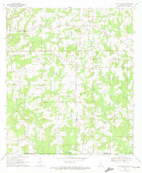
1970 · Tylertown SE
USGS Topo · 1:24,000

1970 · Kokomo
USGS Topo · 1:24,000

1970 · Darbun
USGS Topo · 1:24,000