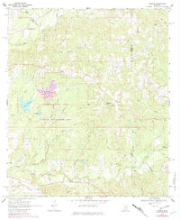
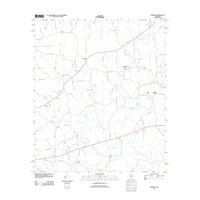
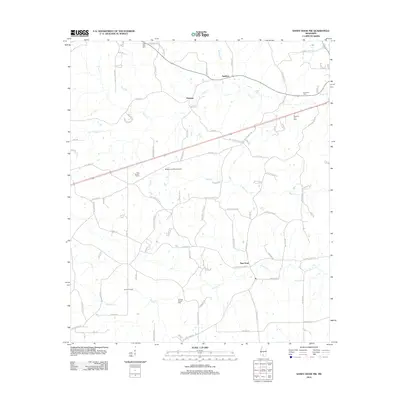
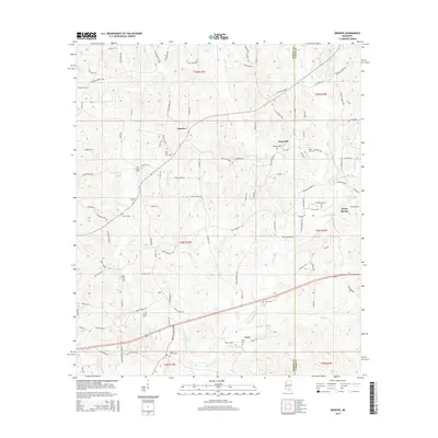
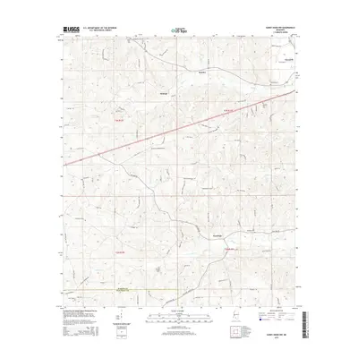
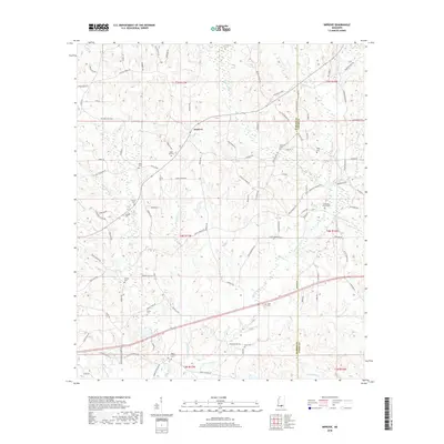
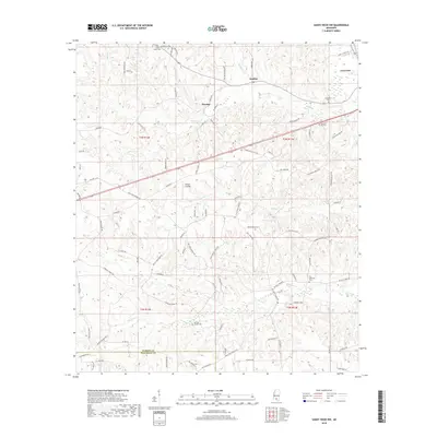
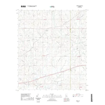
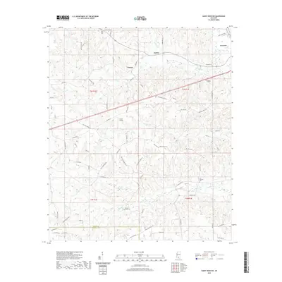
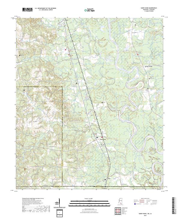
1970 Map of Sandy Hook
USGS Topo · Published 1986About this map
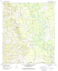
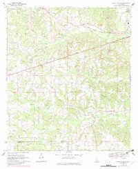
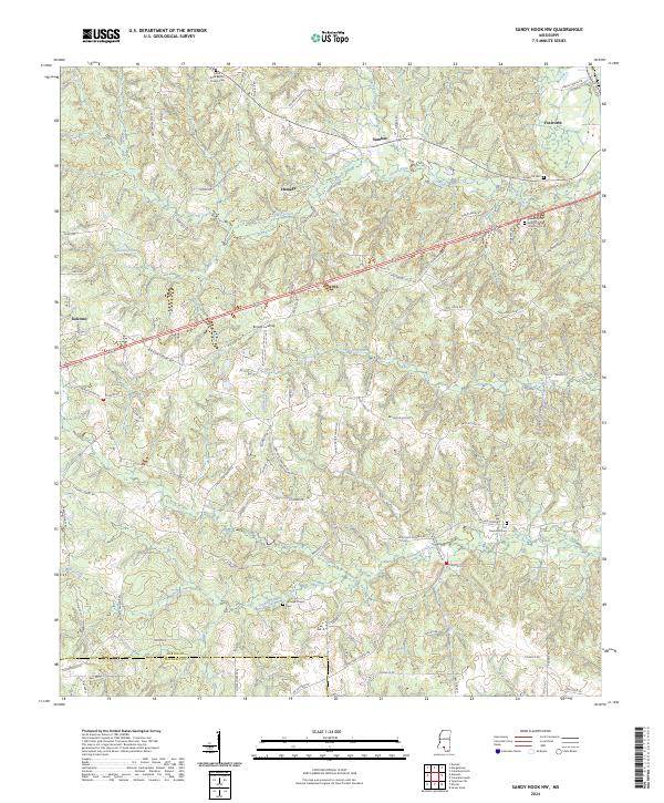
The Pearl River dominates this landscape along the border of Mississippi and Louisiana, its winding course defining the boundary between Marion County and Washington Parish. The 1970 landscape reveals a rural economy shaped by both traditional land use and modern infrastructure, featuring several small settlements like Spring Cottage and Sandy Hook. The Gulf Mobile and Ohio railroad corridor runs north-south, providing a transit backbone for the region alongside an emerging network of gas wells and a prominent Pipeline. Numerous country churches and their associated grounds, such as United Ch Cem and Ford Chapel Cem, are scattered throughout the hills and river bottoms, offering specific points of interest for genealogical research. The river valley is a complex of wetlands and oxbows, including Black Lake and Spains Lake, while the uplands show evidence of local industry through scattered Gravel Pits and a Fish Farm.
Find a feature on this map
41 named features on this map. Tap any name to fly to it.
Don’t see what you’re looking for? This feature index may not catch every label — zoom into the map to look around manually.
Map Details
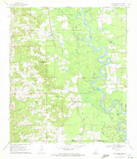
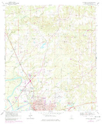
Editions of this 1970 Sandy Hook Map
2 editions found
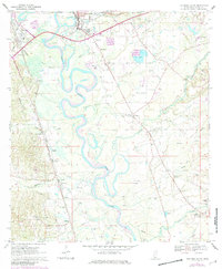
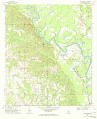
Historical Maps of Sandy Hook Through Time
48 maps found
1967 Shottsville
Marion County, MS
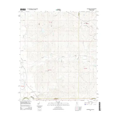
1969 Baxterville SW
Marion County, MS
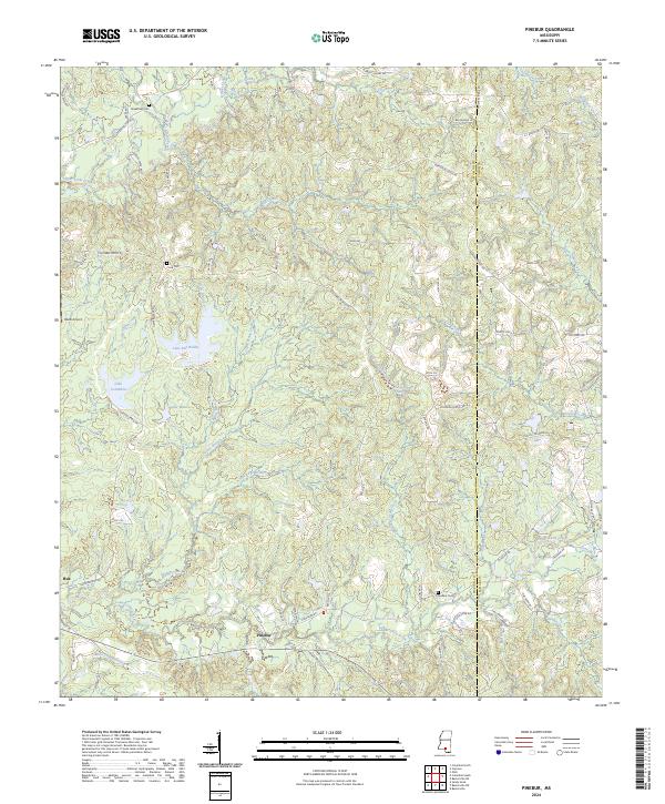
1969 Pinebur
Marion County, MS
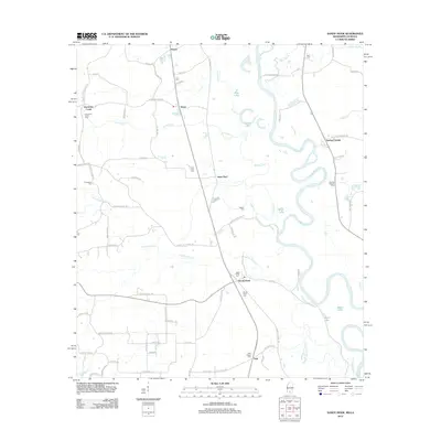
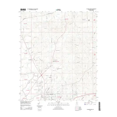
1970 Columbia North
Marion County, MS
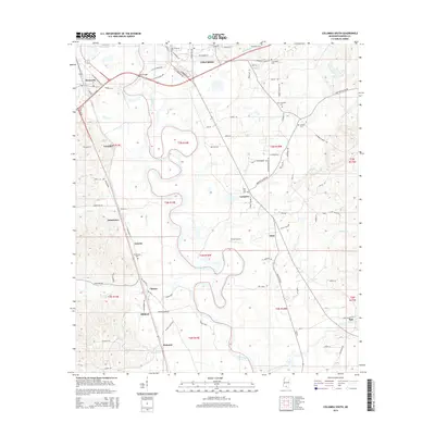
1970 Columbia South
Marion County, MS
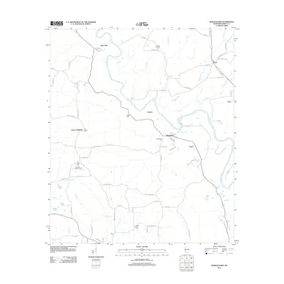
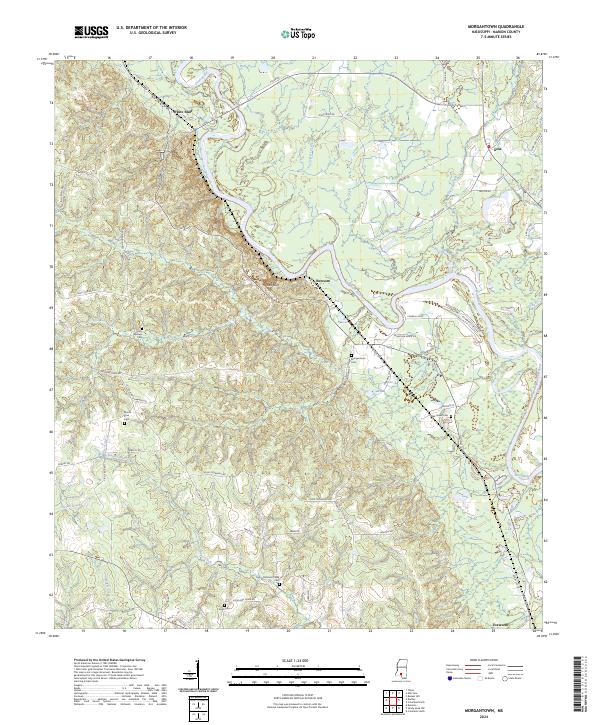
1970 Morgantown
Marion County, MS
1970 Sandy Hook
Marion County, MS
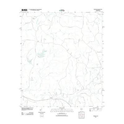
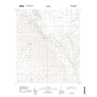
1970 Sandy Hook NW
Marion County, MS
2012 Baxterville SW
Marion County, MS
2012 Columbia North
Marion County, MS
2012 Columbia South
Marion County, MS
2012 Improve
Marion County, MS
2012 Morgantown
Marion County, MS
2012 Pinebur
Marion County, MS
2012 Sandy Hook
Marion County, MS
2012 Sandy Hook NW
Marion County, MS
2015 Baxterville SW
Marion County, MS
2015 Columbia North
Marion County, MS
2015 Columbia South
Marion County, MS
2015 Improve
Marion County, MS
2015 Morgantown
Marion County, MS
2015 Pinebur
Marion County, MS
2015 Sandy Hook
Marion County, MS
2015 Sandy Hook NW
Marion County, MS
2018 Baxterville SW
Marion County, MS
2018 Columbia North
Marion County, MS
2018 Columbia South
Marion County, MS
2018 Improve
Marion County, MS
2018 Morgantown
Marion County, MS
2018 Pinebur
Marion County, MS
2018 Sandy Hook
Marion County, MS
2018 Sandy Hook NW
Marion County, MS
2020 Baxterville SW
Marion County, MS
2020 Columbia North
Marion County, MS
2020 Columbia South
Marion County, MS
2020 Improve
Marion County, MS
2020 Morgantown
Marion County, MS
2020 Pinebur
Marion County, MS
2020 Sandy Hook
Marion County, MS
2020 Sandy Hook NW
Marion County, MS
2024 Baxterville SW
Marion County, MS
2024 Columbia North
Marion County, MS
2024 Columbia South
Marion County, MS
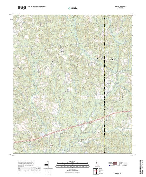
2024 Improve
Marion County, MS
2024 Morgantown
Marion County, MS
2024 Pinebur
Marion County, MS
2024 Sandy Hook
Marion County, MS
2024 Sandy Hook NW
Marion County, MS