
1970 Map of Columbia North
USGS Topo · Published 1972About this map
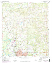
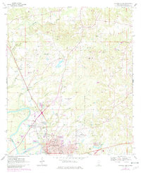
Columbia serves as the primary hub on this Marion County survey, showing the town's expansion northward toward the Columbia Training School grounds. The local economy and infrastructure are clearly defined by the Illinois Central railroad corridor and a landscape punctuated by numerous Gravel Pits. Water systems dominate the terrain, with the Pearl River winding through the western edge and several local tributaries like Holiday Creek, Collins Creek, and Jones Creek carving through the wooded hills. Genealogists and local historians can pinpoint specific community landmarks including Harmony Ch, Good Hope Ch, and Pope Cem. The transition from rural to municipal life is captured through the presence of the Columbia-Marion County Airport, a Drive-in Theater, and the detailed street grid of northern Columbia featuring Broad St and Lafayette St.
Find a feature on this map
47 named features on this map. Tap any name to fly to it.
Don’t see what you’re looking for? This feature index may not catch every label — zoom into the map to look around manually.
Map Details
Editions of this 1970 Columbia North Map
3 editions found
Other maps of this area

1953 · Hattiesburg
USGS Topo · 1:250,000

1958 · Hattiesburg
USGS Topo · 1:250,000

1969 · Pinebur
USGS Topo · 1:24,000

1970 · Columbia South
USGS Topo · 1:24,000

1970 · Sandy Hook NW
USGS Topo · 1:24,000

1970 · Bunker Hill
USGS Topo · 1:24,000

1970 · Morgantown
USGS Topo · 1:24,000

1970 · Oak Vale
USGS Topo · 1:24,000

1974 · Bassfield
USGS Topo · 1:24,000

1984 · Hattiesburg
USGS Topo · 1:250,000