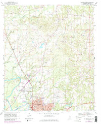
1970 Map of Columbia North
USGS Topo · Published 1982About this map
The Pearl River anchors this 1970s view of southern Mississippi, where the industrial and civic center of Columbia serves as the regional hub. The town's infrastructure is well-defined, featuring the Courthouse, Armory, and multiple schools including the Jr High Sch and High Sch. North of the city, the landscape is characterized by a significant concentration of Gravel Pits interspersed among the drainage basins of Holiday Creek, Buckhorn Creek, and Jones Creek.
Find a feature on this map
42 named features on this map. Tap any name to fly to it.
Don’t see what you’re looking for? This feature index may not catch every label — zoom into the map to look around manually.
Map Details
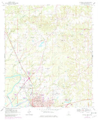
Editions of this 1970 Columbia North Map
3 editions found
Other maps of this area

1953 · Hattiesburg
USGS Topo · 1:250,000

1958 · Hattiesburg
USGS Topo · 1:250,000

1969 · Pinebur
USGS Topo · 1:24,000

1970 · Columbia South
USGS Topo · 1:24,000

1970 · Sandy Hook NW
USGS Topo · 1:24,000

1970 · Bunker Hill
USGS Topo · 1:24,000

1970 · Morgantown
USGS Topo · 1:24,000

1970 · Oak Vale
USGS Topo · 1:24,000

1970 · Columbia North
USGS Topo · 1:24,000

1974 · Bassfield
USGS Topo · 1:24,000