Old Maps of Marietta, Mississippi for Academic Research
Study the evolution of Marietta with 19 high-resolution historic maps. Whether you're teaching, researching, or modeling changes in land use, these maps provide essential visual documentation of urban, environmental, and geographic change.
- Analyze long-term change: Track patterns in development, transportation, and natural features.
- Ideal for environmental or urban studies: Support academic projects with primary historical map data.
- Use in the classroom or lab: Educators and researchers rely on these maps to bring historical context to life.
These maps are a powerful tool for teaching, research, and visualizing how Marietta has changed over the decades.
Marietta, MS maps
(19)- 1956 Map of Tupelo, 1967 Print
 1956 Tupelo1967 Print · USGSNortheast Mississippi and parts of Tennessee and Alabama are shown here during the mid-fifties, a time of major reservoir construction and forestry management. Researchers can trace the St Louis-San Francisco RR through Tupelo or locate historic sites like Tishomingo State Park and the University.2 unique versions available
 - 1958 Map of Tupelo
 1958 Tupelo1958 Print · USGSNortheast Mississippi and neighboring Alabama and Tennessee appear here during the late fifties as a region defined by new reservoirs and historic rail lines. Genealogists can trace family locations near Sardis Lake, Woodall Mountain, and the St Louis-San Francisco Ry.
 - 1965 Map of Marietta, 1966 Print
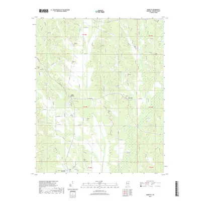
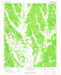 1965 Marietta1966 Print · USGSNorth Mississippi's rural landscape comes into focus during the mid-sixties, centered on the Marietta community and the Natchez Trace Parkway. Researchers can trace old family sites and local landmarks like Hobo Station, Zions Rest Ch, and the Marietta Lookout Tower.2 unique versions available
 - 1965 Map of Kirkville, 1966 Print
 1965 Kirkville1966 Print · USGSNortheast Mississippi rural life and early parkway development are captured here in the mid-sixties. Trace family history through Kirkville and Sandy Springs, or find old community sites like Houston Sch and Gilmers Chapel.2 unique versions available
 - 1984 Map of Corinth
 1984 Corinth1984 Print · USGSNortheast Mississippi and its borders with Alabama and Tennessee are captured here in the mid-1980s, showcasing a landscape of rail-connected towns and ridge-top settlements. Researchers can trace the path of the Natchez Trace Parkway or locate family-named landmarks near Biggersville, Kossuth, and the historic Tennessee Divide.
 - 1984 Map of Tupelo
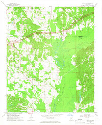
 1984 Tupelo1984 Print · USGSNorth Mississippi in the 1980s is defined by its massive river basin reservoirs and the growing regional hubs of Tupelo and Oxford. Researchers can trace the legacy of the Pontotoc Ridge, find the University of Mississippi, and map early Interstate corridors near Sardis Lake.3 unique versions available
 - 1984 Map of Tupelo, 1985 Print
 1984 Tupelo1985 Print · USGSNortheast Mississippi and the Alabama borderlands are shown in the mid-1980s as timber and river networks shaped the region. Trace local history through the Illinois Central Gulf rail line and sites like the Old Natchez Trace Parkway.
 - 1992 Map of Kirkville, 1995 Print
 1992 Kirkville1995 Print · USGSThe Itawamba and Prentiss county line comes alive in the 1990s as the massive Tennessee-Tombigbee Waterway reshapes the landscape. Genealogists and local historians can trace the locations of the Ozark Methodist Ch, the Warren Cem, and the ancient Pharr Indian Mounds.
 - 1994 Map of Corinth
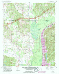
 1994 Corinth1994 Print · USGSNortheast Mississippi and the Tennessee borderlands are captured in the mid-1990s as the region's modern industrial and recreational landscape took shape. Genealogists and historians can trace rail-to-river connections through Corinth, the old courthouse at Jacinto, and the route of the Natchez Trace Parkway.
 - 2012 Map of Kirkville, 2012 Print
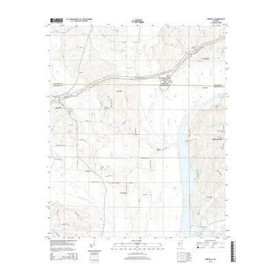
 2012 Kirkville2012 Print · USGSCovers Marietta, including Ozark, Hazeldell, and other nearby areas
 - 2012 Map of Marietta, 2012 Print
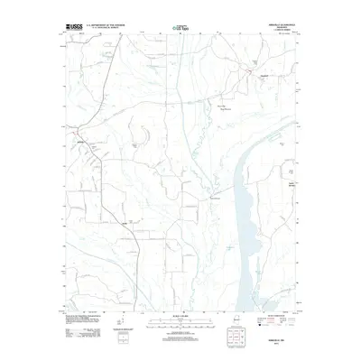
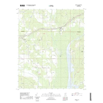
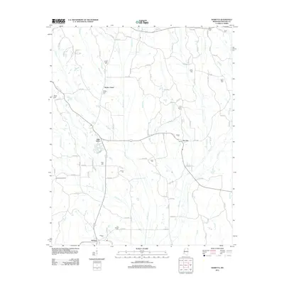 2012 Marietta2012 Print · USGSCovers Marietta, including Blythes Chapel, New Site, and other nearby areas
 - 2015 Map of Kirkville, 2015 Print
 2015 Kirkville2015 Print · USGSCovers Marietta, including Ozark, Hazeldell, and other nearby areas
 - 2015 Map of Marietta, 2015 Print
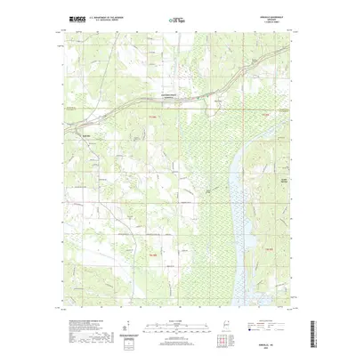
 2015 Marietta2015 Print · USGSCovers Marietta, including Blythes Chapel, New Site, and other nearby areas
 - 2018 Map of Marietta, 2018 Print
 2018 Marietta2018 Print · USGSCovers Marietta, including Blythes Chapel, New Site, and other nearby areas
 - 2018 Map of Kirkville, 2018 Print
 2018 Kirkville2018 Print · USGSCovers Marietta, including Ozark, Hazeldell, and other nearby areas
 - 2020 Map of Kirkville, 2020 Print
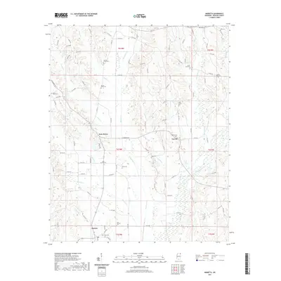
 2020 Kirkville2020 Print · USGSCovers Marietta, including Ozark, Hazeldell, and other nearby areas
 - 2021 Map of Marietta, 2021 Print
 2021 Marietta2021 Print · USGSCovers Marietta, including Blythes Chapel, New Site, and other nearby areas
 - 2024 Map of Marietta, 2024 Print
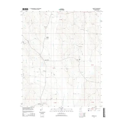
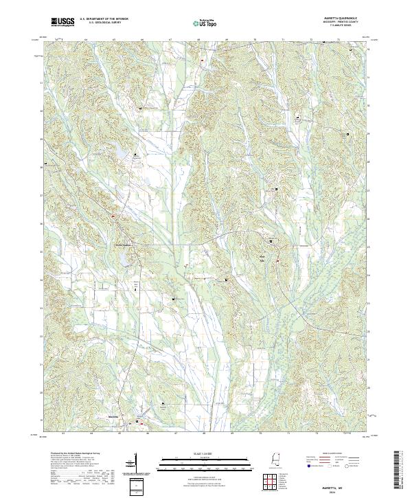 2024 Marietta2024 Print · USGSMarietta and the surrounding Prentiss County hills are captured here in a period of quiet rural continuity. Researchers can trace family sites and land markers at Hobo Station, New Site, and numerous local burial grounds like Zions Rest Cem.
 - 2024 Map of Kirkville, 2024 Print
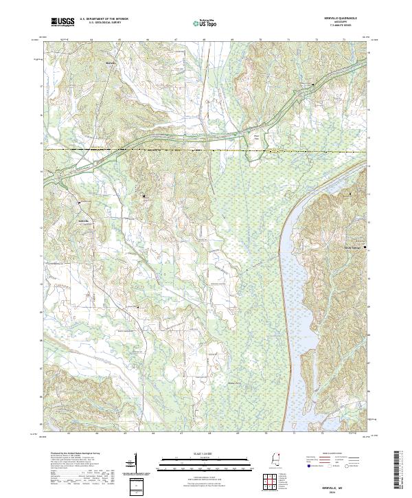 2024 Kirkville2024 Print · USGSItawamba and Prentiss counties are documented here in the early twenty-first century, where the historic Natchez Trace meets modern river engineering. Genealogists can locate family sites at Ozark Cem, Kirkville Cem, or the river crossing at Walkers Ferry.
End of results
Showing maps 1-19 of 19
Top cities near Marietta
- Tupelo historical maps
- Booneville historical maps
- Saltillo historical maps
- Fulton historical maps
- Baldwyn historical maps
- Guntown historical maps
See more
Frequently asked questions
- What are the different types of historical maps available for Marietta?
- What is the oldest map of Marietta?
- Where can I purchase historical maps of Marietta for my home or office?
- Where can I download high-res historical maps of Marietta?
- Are there historical topographic maps available for Marietta?
- Is there historical aerial imagery available for Marietta?
- Where are historical maps of Marietta sourced from?