Old Maps of Koch, Mississippi for Hiking & Exploration
Hike through history with 14 historic maps of Koch. Explore old trails, ghost towns, and forgotten backroads — perfect for outdoor adventurers and local explorers.
- Rediscover forgotten places: Map out old mining camps, roads, and footpaths that no longer exist on modern maps.
- Layer with modern tools: Combine with LiDAR or satellite views to plan hikes through historical terrain.
- Made for exploration: Popular among hikers, overlanders, and local history lovers.
Use these maps to find adventure and explore the hidden past of Koch.
Koch, MS maps
(14)- 1922 Map of Pelahatchee
 1922 Pelahatchee1922 Print · USGSRankin County during the early 1920s reveals a landscape of dispersed agricultural communities and transit corridors. You can trace the roots of local settlements at Sand Hill and Leesburg, or locate family landmarks like Pisgah School and St Helen Church.
 - 1924 Map of Pelahatchee
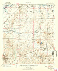
 1924 Pelahatchee1924 Print · USGSRankin County in the 1920s is a landscape of rural schoolhouses and family-named prairies centered on the vital Alabama and Vicksburg RR. Researchers can trace the heritage of local communities through landmarks like the Brandon depot, Trickum Bridge, and Goshen Springs.
 - 1950 Map of Pelahatchie, 1968 Print
 1950 Pelahatchie1968 Print · USGSRankin County's rural landscape is captured here at mid-century, from the busy rails of Brandon to the quiet reaches of Goshen Springs. Researchers can trace old family names at Andrews Chapel, St Helens Ch, or the Spring Hill Cem while following the historic Choctaw Treaty Line of 1820.2 unique versions available
 - 1952 Map of Pelahatchie
 1952 Pelahatchie1952 Print · USGSRankin County during the early 1950s shows a landscape still defined by its nineteenth-century boundaries and growing rail hubs. Genealogists and historians can trace family locations near Goshen Springs, the Choctaw Treaty Line of 1820, and Andrews Chapel.
 - 1953 Map of Meridian, 1966 Print
 1953 Meridian1966 Print · USGSEast Central Mississippi and the Alabama borderlands are captured here during a period of steady growth and infrastructure expansion. Genealogists and historians can trace rail-town development along the Gulf Mobile & Ohio Railroad and find early settlements like Scooba, Pelahatchie, and De Kalb.2 unique versions available
 - 1957 Map of Meridian
 1957 Meridian1957 Print · USGSEast Central Mississippi and parts of Western Alabama come alive in the mid-1950s, centered on the transit hub of Meridian. Researchers can trace old rail lines like the Illinois Central and find historic sites such as the Choctaw Indian Reservation and Roosevelt State Park.
 - 1965 Map of Meridian
 1965 Meridian1965 Print · USGSEast Mississippi and West Alabama are mapped here in the mid-sixties as the region's modern highway and reservoir systems began to take shape. Researchers can trace rural lineages through local landmarks like Prince Chapel and Tuscahoma Landing, or follow the historic Gulf Mobile & Ohio rail lines.
 - 1982 Map of Goshen Springs, 1983 Print
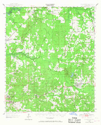
 1982 Goshen Springs1983 Print · USGSRankin County in the early eighties shows the evolving shoreline of the Ross R Barnett Reservoir alongside traditional rural centers. Genealogists can trace family landmarks like Pisgah Sch, Pilgram Branch Ch, and the settlements of Fannin and Sandhill.
 - 1984 Map of Forest
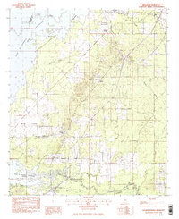
 1984 Forest1984 Print · USGSCentral Mississippi in the mid-eighties centers on the timberlands and rail corridors of the Bienville National Forest. Genealogists and historians can trace old settlements like Conehatta and Hillsboro or follow the Illinois Central Gulf line through Morton and Newton.2 unique versions available
 - 2012 Map of Goshen Springs, 2012 Print
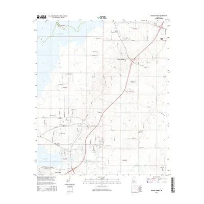
 2012 Goshen Springs2012 Print · USGSCovers Koch, including Flowood, Sand Hill, and other nearby areas
 - 2015 Map of Goshen Springs, 2015 Print
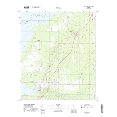
 2015 Goshen Springs2015 Print · USGSCovers Koch, including Flowood, Sand Hill, and other nearby areas
 - 2018 Map of Goshen Springs, 2018 Print
 2018 Goshen Springs2018 Print · USGSCovers Koch, including Flowood, Sand Hill, and other nearby areas
 - 2020 Map of Goshen Springs, 2020 Print
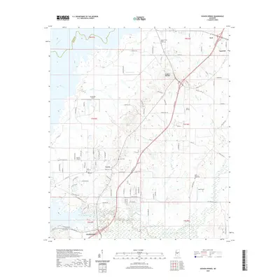 2020 Goshen Springs2020 Print · USGSCovers Koch, including Flowood, Sand Hill, and other nearby areas
 - 2024 Map of Goshen Springs, 2024 Print
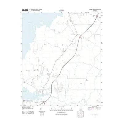
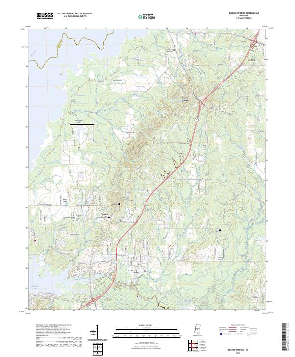 2024 Goshen Springs2024 Print · USGSRankin County in the modern era maintains its rural character through established settlements and family-named landmarks east of the Pearl River. Researchers can trace the layout of local congregations and burial grounds like Fannin Baptist Cem or locate private airfields such as Mach 1 Jet Port.
End of results
Showing maps 1-14 of 14
Top cities near Koch
- Jackson historical maps
- Madison historical maps
- Pearl historical maps
- Brandon historical maps
- Ridgeland historical maps
- Canton historical maps
See more
Frequently asked questions
- What are the different types of historical maps available for Koch?
- What is the oldest map of Koch?
- Where can I purchase historical maps of Koch for my home or office?
- Where can I download high-res historical maps of Koch?
- Are there historical topographic maps available for Koch?
- Is there historical aerial imagery available for Koch?
- Where are historical maps of Koch sourced from?