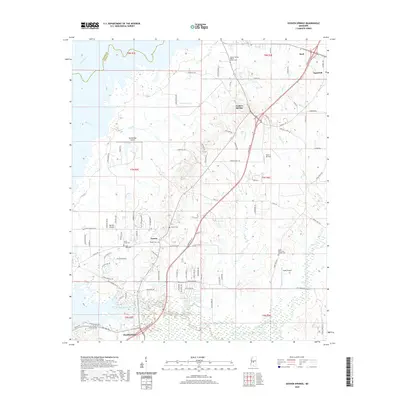
2020 Map of Goshen Springs
USGS Topo · Published 2020About this map
The Pearl River marks the northwestern boundary of this central Mississippi landscape, where the settlements of Goshen Springs and Fannin anchor a region defined by tributary creeks and small airfield operations. Aviation plays a visible role in the area's modern layout, with three distinct facilities—Woodbridge Airport, Mach 1 Jet Port, and Kaehr Airport—positioned across the terrain. These airfields sit alongside established family landmarks and rural infrastructure, including Rankin Well 2 Rd and the Dummy Line Rd, hinting at the intersection of private property and resource development.
Find a feature on this map
104 named features on this map. Tap any name to fly to it.
Don’t see what you’re looking for? This feature index may not catch every label — zoom into the map to look around manually.
Map Details
Editions of this 2020 Goshen Springs Map
This is the sole edition of this map. No revisions or reprints were ever made.
Other maps of this area

1903 · Jackson
USGS Topo · 1:125,000

1905 · Jackson
USGS Topo · 1:48,000

1908 · Jackson
USGS Topo · 1:62,500

1922 · Pelahatchee
USGS Topo · 1:48,000

1924 · Pelahatchee
USGS Topo · 1:62,500

1950 · Pelahatchie
USGS Topo · 1:62,500

1952 · Pelahatchie
USGS Topo · 1:62,500

1953 · Meridian
USGS Topo · 1:250,000

1955 · Jackson
USGS Topo · 1:250,000

1957 · Meridian
USGS Topo · 1:250,000