2000s (21st Century) Maps of Homewood, Mississippi
Explore 6 historic maps of Homewood from the 2000s (21st Century). These maps offer a rare glimpse into what life looked like during the 2000s — showing old roads, neighborhoods, homes, and landmarks that have changed or disappeared over time.
Whether you're researching your family's past, planning a metal detecting trip, or studying how Homewood's landscape evolved across the 2000s, these high-resolution maps are a powerful tool for exploring the history of this region.
- Focus on a specific era: All maps on this page are from the 2000s, giving you a focused view of this time period.
- See what’s changed: Compare century-old streets, trails, and buildings to today's modern landscape using overlays and satellite layers.
- Research with precision: Use these maps for genealogy, historical research, land use analysis, or educational projects.
- View, download, or print: Maps are fully viewable online in high resolution, and can be downloaded or printed for your own records.
Start exploring Homewood's history through authentic maps from the 2000s. This is your window into the past.
Homewood, MS maps
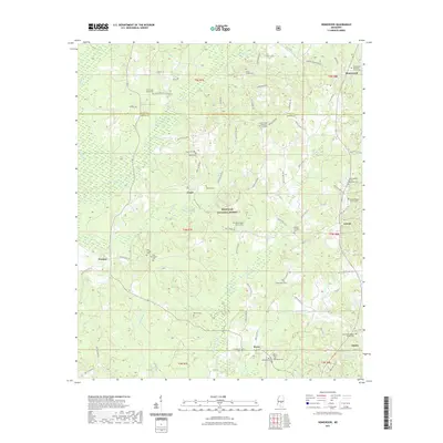
(6)- 2000 Map of Homewood, 2002 Print
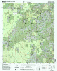 2000 Homewood2002 Print · USGSSmith County is shown at the turn of the millennium, documenting the intersection of timber lands and historic rural settlements. Genealogists can trace family roots at Derrick Cemetery and Zion Cemetery or locate landmarks like Burns School.
 - 2012 Map of Homewood, 2012 Print
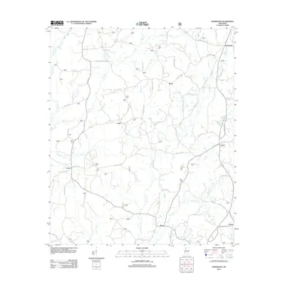 2012 Homewood2012 Print · USGSCovers Homewood, including Burns, Lorena, and other nearby areas
 - 2015 Map of Homewood, 2015 Print
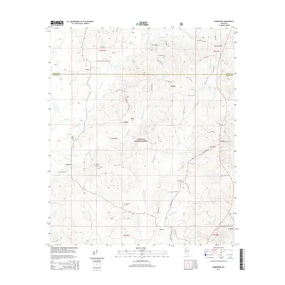 2015 Homewood2015 Print · USGSCovers Homewood, including Burns, Lorena, and other nearby areas
 - 2018 Map of Homewood, 2018 Print
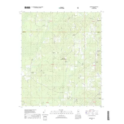 2018 Homewood2018 Print · USGSCovers Homewood, including Burns, Lorena, and other nearby areas
 - 2021 Map of Homewood, 2021 Print
 2021 Homewood2021 Print · USGSCovers Homewood, including Burns, Lorena, and other nearby areas
 - 2024 Map of Homewood, 2024 Print
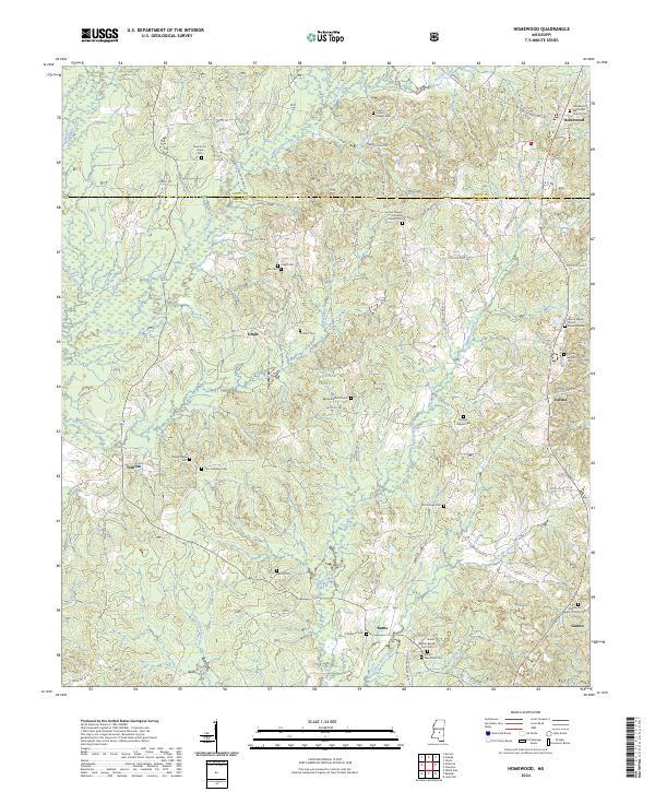 2024 Homewood2024 Print · USGSCentral Mississippi in the twenty-first century reveals a landscape of enduring rural communities and family-named landmarks. Researchers can trace local history through a high concentration of sites like Zion Lutheran Church, Lorena Baptist Church Cem, and Roberts Cem.
End of results
Showing maps 1-6 of 6
Top cities near Homewood
- Forest historical maps
- Morton historical maps
- Bay Springs historical maps
- Pelahatchie historical maps
- Raleigh historical maps
- Louin historical maps
See more
Frequently asked questions
- What are the different types of historical maps available for Homewood?
- What is the oldest map of Homewood?
- Where can I purchase historical maps of Homewood for my home or office?
- Where can I download high-res historical maps of Homewood?
- Are there historical topographic maps available for Homewood?
- Is there historical aerial imagery available for Homewood?
- Where are historical maps of Homewood sourced from?