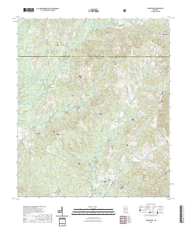
2024 Map of Homewood
USGS Topo · Published 2024About this map
Bienville National Forest dominates the central landscape of this Smith County region, where the terrain is defined by the drainage of Caney Creek, Robinson Creek, and the Strong River. The settlement pattern follows a network of rural county roads, connecting established communities like Homewood, Trenton, and Burns. This area is characterized by a high density of country churches and family-linked cemeteries, reflecting the deep-seated social and genealogical history of central Mississippi. From the Homewood Methodist Church Cem in the northeast to the Goodwater Baptist Church Cem near Lemon in the southeast, these landmarks provide a clear record of local lineage. The course of Oakohay Creek and its tributaries, such as Little Oakohay Creek and Yellow Bill Creek, influenced the placement of early homesteads and roads like Wicker Mill Rd, which remain central to the area's geography today.
Find a feature on this map
79 named features on this map. Tap any name to fly to it.
Don’t see what you’re looking for? This feature index may not catch every label — zoom into the map to look around manually.
Map Details
Editions of this 2024 Homewood Map
This is the sole edition of this map. No revisions or reprints were ever made.
Other maps of this area

1921 · Forest
USGS Topo · 1:48,000

1922 · Forest
USGS Topo · 1:62,500

1922 · Morton
USGS Topo · 1:48,000

1924 · Morton
USGS Topo · 1:62,500

1935 · White Oak
USGS Topo · 1:24,000

1950 · Forest
USGS Topo · 1:62,500

1951 · Morton
USGS Topo · 1:62,500

1952 · Forest
USGS Topo · 1:62,500

1953 · Meridian
USGS Topo · 1:250,000

1957 · Meridian
USGS Topo · 1:250,000