Old Maps of Little Sunflower, Mississippi for Academic Research
Study the evolution of Little Sunflower with 13 high-resolution historic maps. Whether you're teaching, researching, or modeling changes in land use, these maps provide essential visual documentation of urban, environmental, and geographic change.
- Analyze long-term change: Track patterns in development, transportation, and natural features.
- Ideal for environmental or urban studies: Support academic projects with primary historical map data.
- Use in the classroom or lab: Educators and researchers rely on these maps to bring historical context to life.
These maps are a powerful tool for teaching, research, and visualizing how Little Sunflower has changed over the decades.
Little Sunflower, MS maps
(13)- 1939 Map of Onward
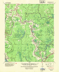 1939 Onward1939 Print · USGSThe Mississippi Delta in the late 1930s shows a landscape of river-bend settlements and bayou-side commerce before modern infrastructure took hold. You can trace the Illinois Central railroad through Smedes and Kelso or locate family landmarks like Haynes Bluff and the Lumber Yard at Valley Park.3 unique versions available
 - 1955 Map of Jackson
 1955 Jackson1955 Print · USGSThe Lower Mississippi Valley at the middle of the century reveals a landscape of deep river meanders and growing rail hubs. Genealogists and historians can trace the mid-century footprints of Vicksburg National Military Park, old river landings at Port Gibson, and the rail corridors of the Illinois Central Railroad.3 unique versions available
 - 1961 Map of Jackson
 1961 Jackson1961 Print · USGSThe Lower Mississippi Delta and the state capital area are captured here during the post-war era of infrastructure expansion. Researchers can trace the complex river oxbows and rail lines connecting Vicksburg, Yazoo City, and the Illinois Central Railroad network.
 - 1962 Map of Jackson
 1962 Jackson1962 Print · USGSThe Mississippi Delta and the state capital region are mapped here in the early sixties, showing a landscape defined by the great river and the growing city of JACKSON. Genealogists can trace family roots through numerous landmarks like Cedar Hill Cem, rural stops on the Illinois Central RR, and historic sites like Champion Hill.2 unique versions available
 - 1963 Map of Onward, 1965 Print
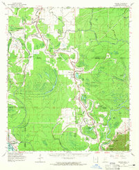 1963 Onward1965 Print · USGSThe Mississippi Delta lowlands appear in detail in the early sixties, showing the rail-and-river network before modern land-use changes. Genealogists can trace family names through rural landmarks like Rock of Mt Zion Ch, Valley Park, and the Cement Plant at Haynes Bluff.3 unique versions available
 - 1984 Map of Yazoo City
 1984 Yazoo City1984 Print · USGSThe Mississippi Delta and loess bluffs meet in the mid-eighties as the Yazoo River snakes through a dense network of wildlife areas and rail lines. Researchers can trace rural life and drainage history through small communities like Holly Bluff, Mechanicsburg, and Satartia.2 unique versions available
 - 1988 Map of Valley Park
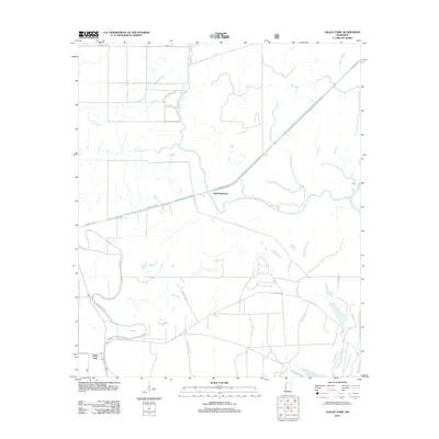
 1988 Valley Park1988 Print · USGSIn the late eighties, the Delta landscape near the Sharkey and Issaquena border was a intricate maze of waterways and forest. Local researchers can trace the movement of water through the Long Bayou-Greentree Reservoir and identify landmarks like Valley Park Lake.
 - 2000 Map of Valley Park, 2002 Print
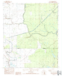
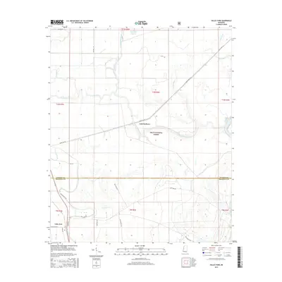
 2000 Valley Park2002 Print · USGSSettlement and conservation efforts converge in this Issaquena County landscape at the turn of the millennium. Researchers can trace the rural infrastructure of Valley Park and remote outposts like the Landing Strip or numerous Campsites along the Little Sunflower River.
 - 2012 Map of Valley Park, 2012 Print
 2012 Valley Park2012 Print · USGSCovers Little Sunflower, including Valley Park, Issaquena County, and other nearby areas
 - 2015 Map of Valley Park, 2015 Print
 2015 Valley Park2015 Print · USGSCovers Little Sunflower, including Valley Park, Issaquena County, and other nearby areas
 - 2018 Map of Valley Park, 2018 Print
 2018 Valley Park2018 Print · USGSCovers Little Sunflower, including Valley Park, Issaquena County, and other nearby areas
 - 2021 Map of Valley Park, 2021 Print
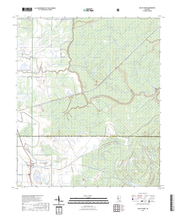
 2021 Valley Park2021 Print · USGSCovers Little Sunflower, including Valley Park, Issaquena County, and other nearby areas
 - 2024 Map of Valley Park, 2024 Print
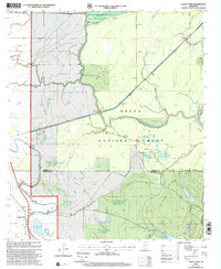
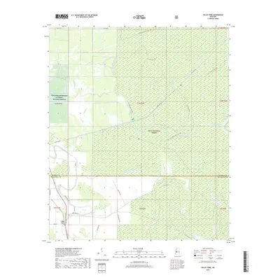
 2024 Valley Park2024 Print · USGSThe Issaquena County wetlands and the southern Delta National Forest are captured in this modern survey. Researchers can trace land management boundaries and water features like Valley Park Lake, Deer Creek, and Spanish Fort Rd.
End of results
Showing maps 1-13 of 13
Top cities near Little Sunflower
Frequently asked questions
- What are the different types of historical maps available for Little Sunflower?
- What is the oldest map of Little Sunflower?
- Where can I purchase historical maps of Little Sunflower for my home or office?
- Where can I download high-res historical maps of Little Sunflower?
- Are there historical topographic maps available for Little Sunflower?
- Is there historical aerial imagery available for Little Sunflower?
- Where are historical maps of Little Sunflower sourced from?