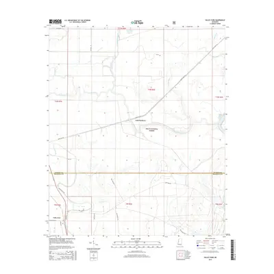
2015 Map of Valley Park
USGS Topo · Published 2015About this map
Valley Park sits at the southwestern edge of this landscape, where the flatlands of the Mississippi Delta meet a complex network of waterways. The terrain is defined by the winding course of Deer Creek and the broader expanse of the Delta National Forest, which covers much of the central and eastern portions of the map. This area's hydrology is particularly intricate, featuring the oxbow-like False River, Coon Bayou, and the Little Sunflower River. In the north, the Long Bayou-Greentree Reservoir highlights modern water management efforts within the timberlands.
Find a feature on this map
30 named features on this map. Tap any name to fly to it.
Don’t see what you’re looking for? This feature index may not catch every label — zoom into the map to look around manually.
Map Details
Editions of this 2015 Valley Park Map
This is the sole edition of this map. No revisions or reprints were ever made.
Other maps of this area

1939 · Onward
USGS Topo · 1:62,500

1939 · Lorenzen
USGS Topo · 1:62,500

1940 · Mechanicsburg
USGS Topo · 1:62,500

1955 · Jackson
USGS Topo · 1:250,000

1961 · Jackson
USGS Topo · 1:250,000

1961 · Bayland
USGS Topo · 1:62,500

1962 · Jackson
USGS Topo · 1:250,000

1963 · Mechanicsburg
USGS Topo · 1:62,500

1963 · Onward
USGS Topo · 1:62,500

1964 · Lorenzen
USGS Topo · 1:62,500