
1963 Map of Onward
USGS Topo · Published 1965About this map
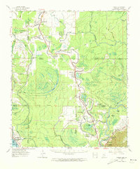
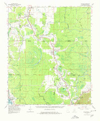
Deer Creek and the Illinois Central Railroad wind through the delta lowlands of the Lower Mississippi Valley in this 1963 survey. The landscape is defined by its complex hydrology, where ancient meanders of the Yazoo River and the Little Sunflower River have left a legacy of oxbows like Cypress Lake and Valley Park Lake. Small settlements and agricultural outposts such as Onward, Valley Park, and Blanton cling to the slightly higher ground of the natural levees, often marked by local landmarks like Rock of Mt Zion Ch and Christian Home Ch. A notable cultural layer is evident in the numerous Indian Mounds and the Choctaw Boundary Line, which bisects the southern half of the quadrangle. The map also records the industrial footprint of the era, including a Cement Plant at Haynes Bluff and the transition from active rail to an Abandoned Railroad near Kelso.
Find a feature on this map
62 named features on this map. Tap any name to fly to it.
Don’t see what you’re looking for? This feature index may not catch every label — zoom into the map to look around manually.
Map Details
Editions of this 1963 Onward Map
3 editions found
Other maps of this area

1909 · Millikens Bend
USGS Topo · 1:24,000

1918 · Vicksburg
USGS Topo · 1:62,500

1938 · Edwards
USGS Topo · 1:62,500

1939 · Onward
USGS Topo · 1:62,500

1939 · Lorenzen
USGS Topo · 1:62,500

1939 · Talla Bena
USGS Topo · 1:62,500

1939 · Alsatia
USGS Topo · 1:62,500

1939 · Mayersville
USGS Topo · 1:62,500

1940 · Mechanicsburg
USGS Topo · 1:62,500

1941 · Vicksburg
USGS Topo · 1:62,500