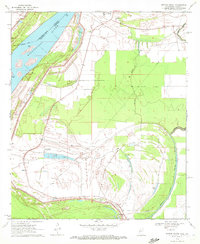
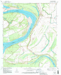
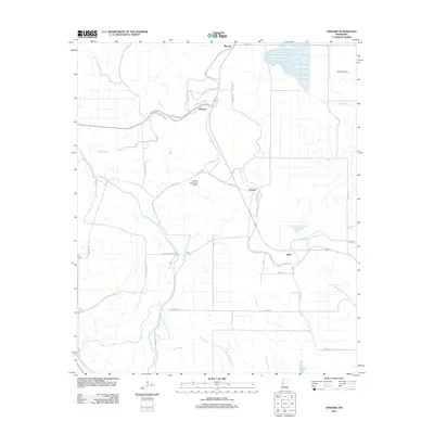
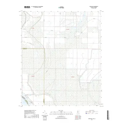
1963 Map of Onward
USGS Topo · Published 1980About this map
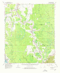
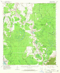
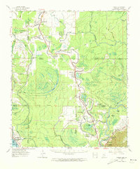
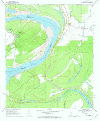
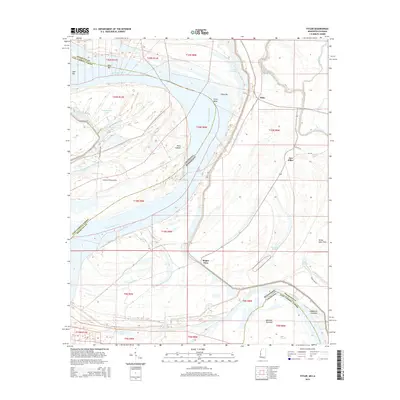
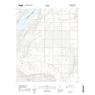
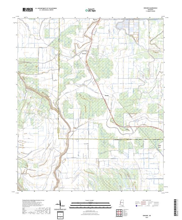
The Yazoo River and the Little Sunflower River dominate this delta landscape, where the seasonal movement of water across Cypress Lake and Eagle Lake historically shaped the region's agricultural potential. The Illinois Central Railroad serves as the primary corridor for commerce, linking settlements like Onward, Smedes, and Valley Park. This survey documents a transition in transportation, noting an Abandoned Railroad near Kelso while the river network remains vital for drainage and boundaries.
Find a feature on this map
62 named features on this map. Tap any name to fly to it.
Don’t see what you’re looking for? This feature index may not catch every label — zoom into the map to look around manually.
Map Details
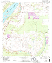
Editions of this 1963 Onward Map
3 editions found
Historical Maps of Hardee Through Time
33 maps found
1963 Onward
Issaquena County, MS
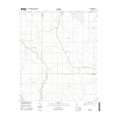
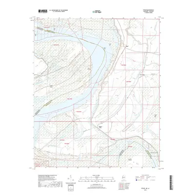
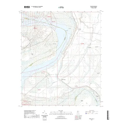
1970 Fitler
Issaquena County, MS
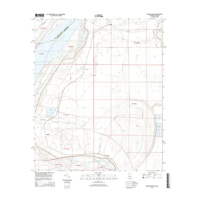
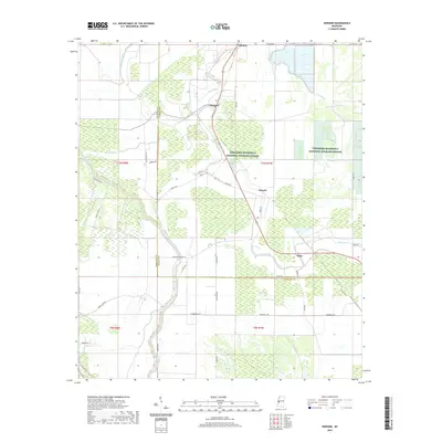
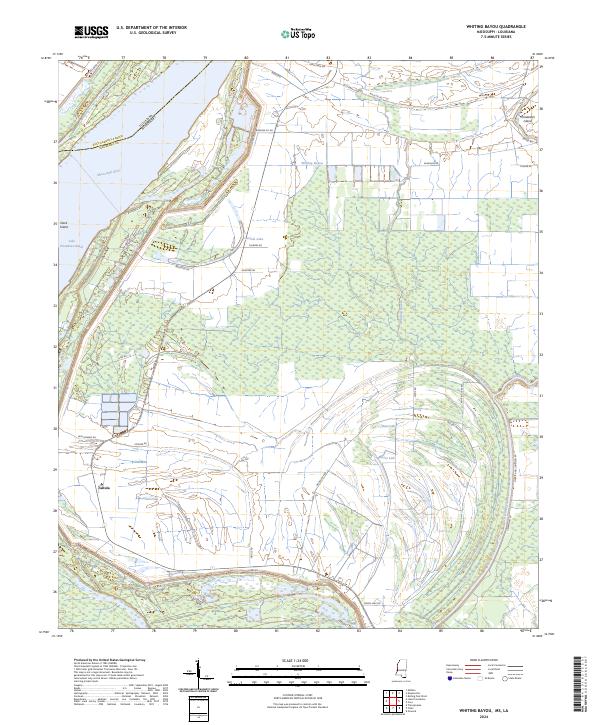
1970 Whiting Bayou
Issaquena County, MS
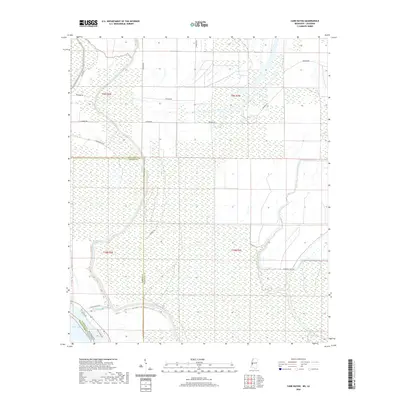
1988 Cane Bayou
Issaquena County, MS
1988 Onward
Issaquena County, MS
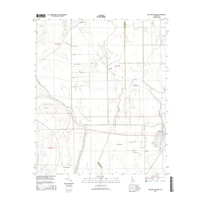
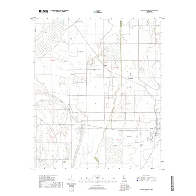
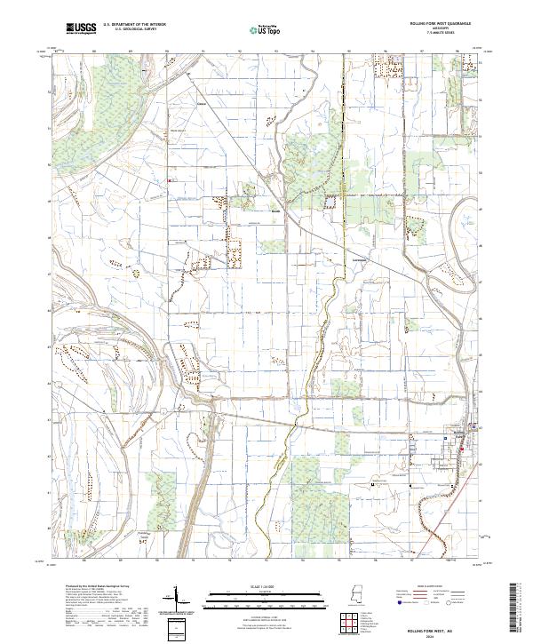
1988 Rolling Fork West
Issaquena County, MS
1994 Fitler
Issaquena County, MS
1994 Whiting Bayou
Issaquena County, MS
2012 Cane Bayou
Issaquena County, MS
2012 Fitler
Issaquena County, MS
2012 Onward
Issaquena County, MS
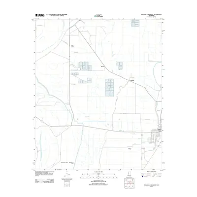
2012 Rolling Fork West
Issaquena County, MS
2012 Whiting Bayou
Issaquena County, MS
2015 Cane Bayou
Issaquena County, MS
2015 Fitler
Issaquena County, MS
2015 Onward
Issaquena County, MS
2015 Rolling Fork West
Issaquena County, MS
2015 Whiting Bayou
Issaquena County, MS
2018 Cane Bayou
Issaquena County, MS
2018 Fitler
Issaquena County, MS
2018 Onward
Issaquena County, MS
2018 Rolling Fork West
Issaquena County, MS
2018 Whiting Bayou
Issaquena County, MS
2020 Cane Bayou
Issaquena County, MS
2020 Fitler
Issaquena County, MS
2020 Onward
Issaquena County, MS
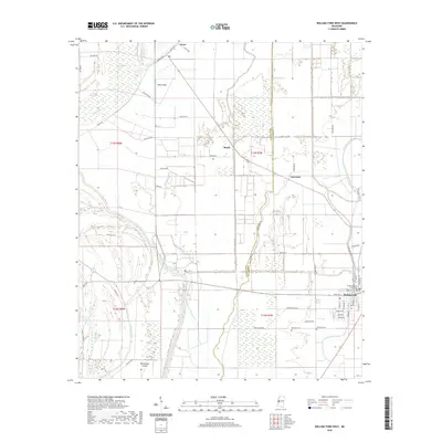
2020 Rolling Fork West
Issaquena County, MS
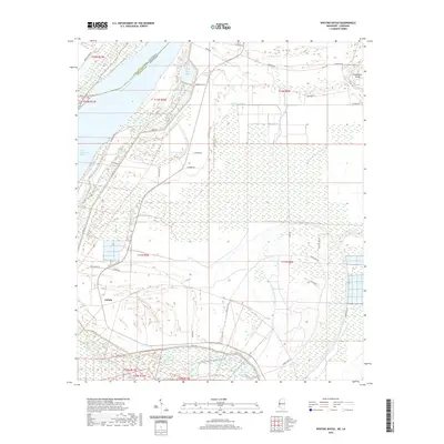
2020 Whiting Bayou
Issaquena County, MS
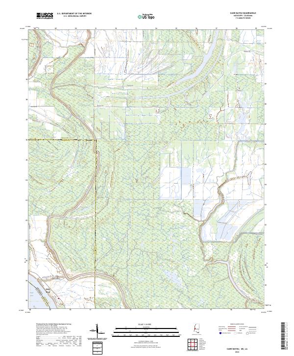
2024 Cane Bayou
Issaquena County, MS
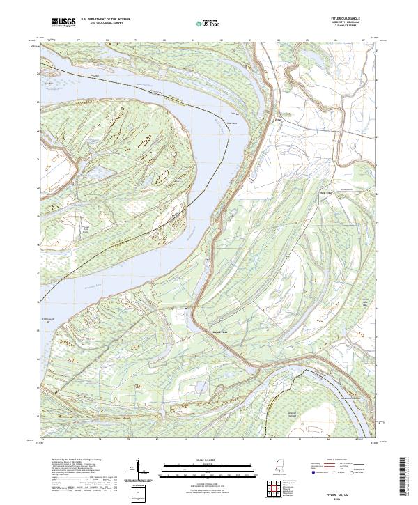
2024 Fitler
Issaquena County, MS
2024 Onward
Issaquena County, MS
2024 Rolling Fork West
Issaquena County, MS
2024 Whiting Bayou
Issaquena County, MS