
1939 Map of Onward
USGS Topo · Published 1939About this map
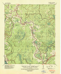
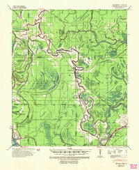
The Yazoo River and its intricate network of bayous dominate this 1939 survey, revealing the complex hydrology of the Mississippi Delta before extensive modern levee systems were completed. Small railroad stops and agricultural landings such as Onward, Smedes, and Valley Park dot the Illinois Central line, which follows the natural high ground between the river and the swamps. The landscape is characterized by its numerous ancient waterways, including the Little Sunflower River, Cypress Bayou, and the crescent-shaped False River.
Find a feature on this map
40 named features on this map. Tap any name to fly to it.
Don’t see what you’re looking for? This feature index may not catch every label — zoom into the map to look around manually.
Map Details
Editions of this 1939 Onward Map
3 editions found
Other maps of this area

1909 · Millikens Bend
USGS Topo · 1:24,000

1918 · Vicksburg
USGS Topo · 1:62,500

1938 · Edwards
USGS Topo · 1:62,500

1939 · Lorenzen
USGS Topo · 1:62,500

1939 · Talla Bena
USGS Topo · 1:62,500

1939 · Alsatia
USGS Topo · 1:62,500

1939 · Mayersville
USGS Topo · 1:62,500

1940 · Mechanicsburg
USGS Topo · 1:62,500

1941 · Vicksburg
USGS Topo · 1:62,500

1955 · Jackson
USGS Topo · 1:250,000