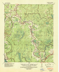
1939 Map of Onward
USGS Topo · Published 1942About this map
Deer Creek winds through the heart of this landscape, anchoring a series of small riverside settlements such as Valley Park and Hardee during the late 1930s. This survey, revised by the Mississippi River Commission, illustrates the complex hydrology of the Delta prior to modern large-scale drainage projects. The presence of multiple Indian Mound sites reflects the deep human history along these waterways, while the Yazoo and Mississippi Valley railroad line dictates the placement of towns like Smedes and Kelso. To the south, the terrain shifts abruptly as the Yazoo River meets the Haynes Bluff escarpment, a significant natural landmark. The map documents an era of river-based infrastructure, featuring numerous levees and the influential reach of the Little Sunflower River through Sharkey and Issaquena counties.
Find a feature on this map
57 named features on this map. Tap any name to fly to it.
Don’t see what you’re looking for? This feature index may not catch every label — zoom into the map to look around manually.
Map Details
Editions of this 1939 Onward Map
3 editions found
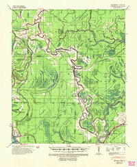
Other maps of this area

1909 · Millikens Bend
USGS Topo · 1:24,000

1918 · Vicksburg
USGS Topo · 1:62,500

1938 · Edwards
USGS Topo · 1:62,500

1939 · Onward
USGS Topo · 1:62,500

1939 · Lorenzen
USGS Topo · 1:62,500

1939 · Talla Bena
USGS Topo · 1:62,500

1939 · Alsatia
USGS Topo · 1:62,500

1939 · Mayersville
USGS Topo · 1:62,500

1940 · Mechanicsburg
USGS Topo · 1:62,500

1941 · Vicksburg
USGS Topo · 1:62,500