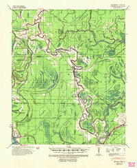
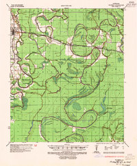
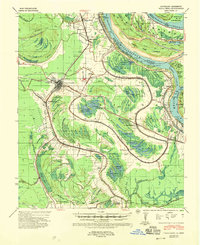
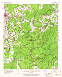
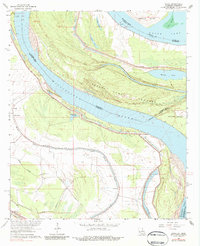
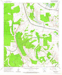
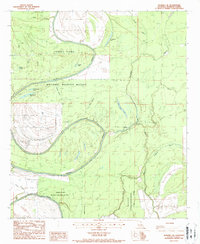
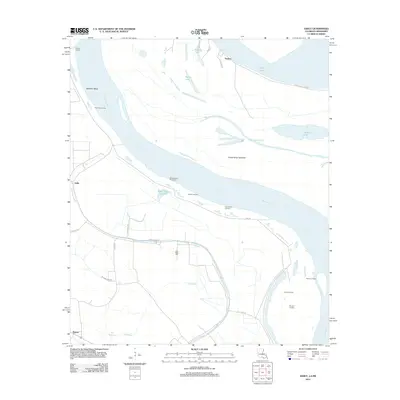
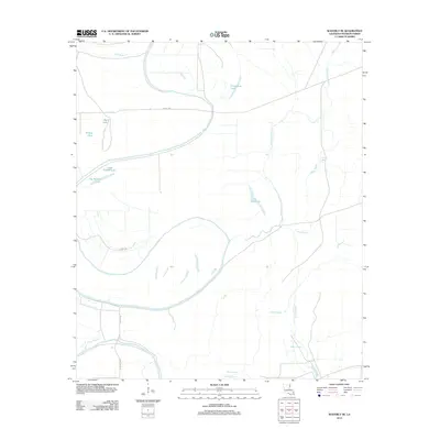
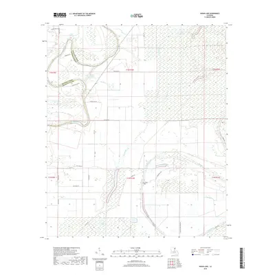
1939 Map of Onward
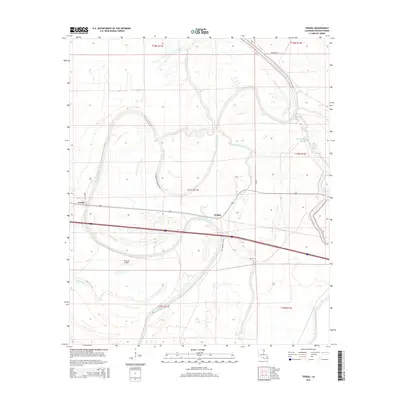
USGS Topo · Published 1954About this map
The delta lowlands of Sharkey, Issaquena, and Warren Counties appear here as a complex network of waterways and early 20th-century rail infrastructure. Settled along the Yazoo and Mississippi Valley railroad, small trackside communities like Onward, Valley Park, and Smedes serve as the primary hubs in an area dominated by river movement. The landscape is defined by the winding course of the Yazoo River and the sweeping curve of Eagle Lake, alongside evidence of ancient habitation at several sites marked Indian Mound.
Find a feature on this map
44 named features on this map. Tap any name to fly to it.
Don’t see what you’re looking for? This feature index may not catch every label — zoom into the map to look around manually.
Map Details
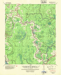
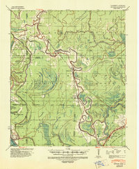
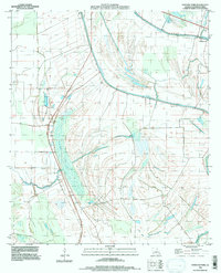
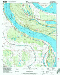
Editions of this 1939 Onward Map
3 editions found
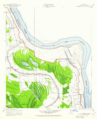
Historical Maps of Hardee Through Time
39 maps found
1909 Millikens Bend
Madison Parish, LA
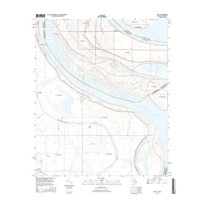
1935 Waverly
Madison Parish, LA
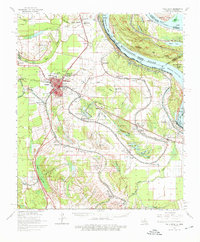
1939 Onward
Madison Parish, LA
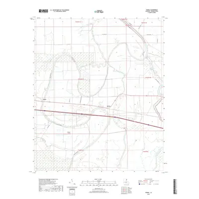
1939 Talla Bena
Madison Parish, LA
1961 Waverly
Madison Parish, LA
1963 Ashly
Madison Parish, LA
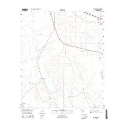
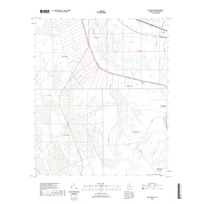
1963 Fortune Fork
Madison Parish, LA
1965 Talla Bena
Madison Parish, LA
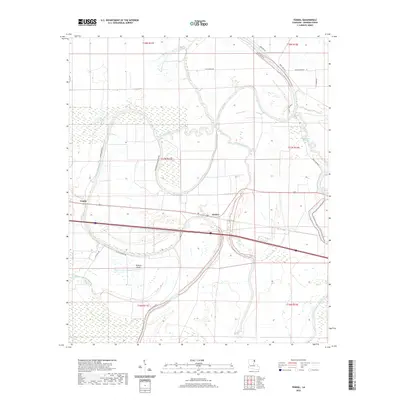
1986 Tendal
Madison Parish, LA
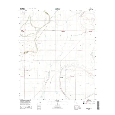
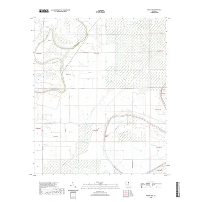
1987 Indian Lake
Madison Parish, LA
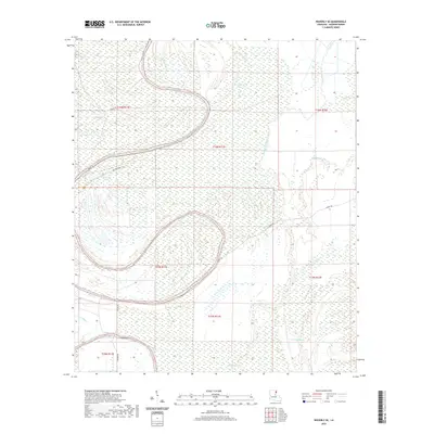
1987 Waverly SE
Madison Parish, LA
1994 Fortune Fork
Madison Parish, LA
1998 Ashly
Madison Parish, LA
1998 Indian Lake
Madison Parish, LA
2012 Ashly
Madison Parish, LA
2012 Fortune Fork
Madison Parish, LA
2012 Indian Lake
Madison Parish, LA
2012 Tendal
Madison Parish, LA
2012 Waverly SE
Madison Parish, LA
2015 Ashly
Madison Parish, LA
2015 Fortune Fork
Madison Parish, LA
2015 Indian Lake
Madison Parish, LA
2015 Tendal
Madison Parish, LA
2015 Waverly SE
Madison Parish, LA
2018 Ashly
Madison Parish, LA
2018 Fortune Fork
Madison Parish, LA
2018 Indian Lake
Madison Parish, LA
2018 Tendal
Madison Parish, LA
2018 Waverly SE
Madison Parish, LA
2020 Ashly
Madison Parish, LA
2020 Fortune Fork
Madison Parish, LA
2020 Indian Lake
Madison Parish, LA
2020 Tendal
Madison Parish, LA
2020 Waverly SE
Madison Parish, LA
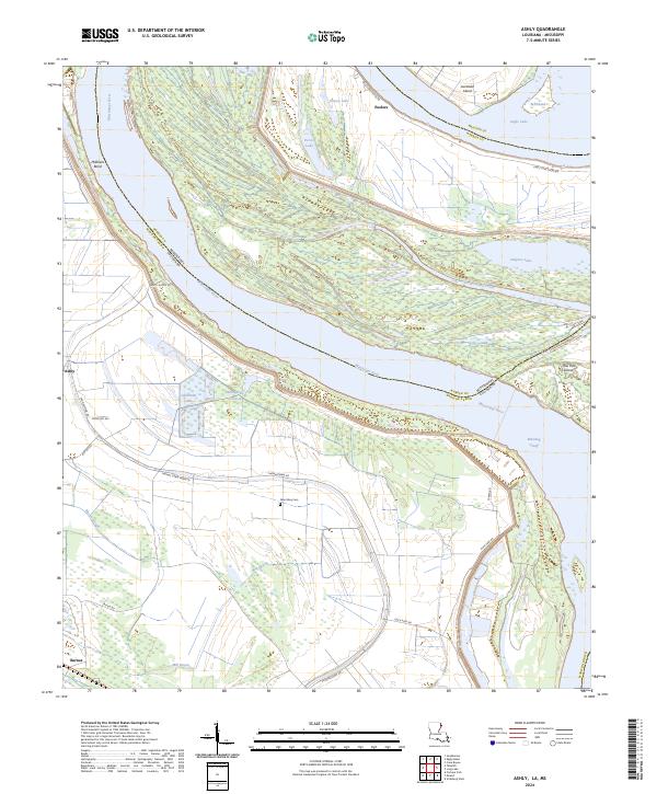
2024 Ashly
Madison Parish, LA
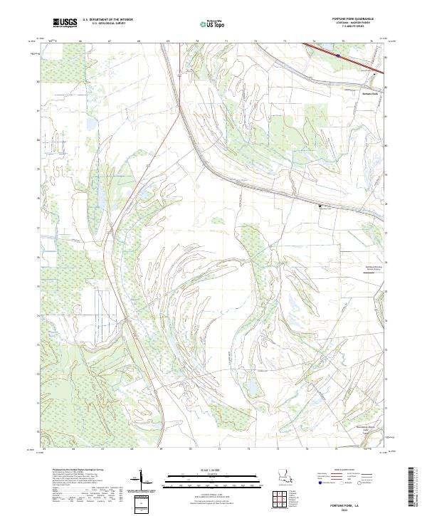
2024 Fortune Fork
Madison Parish, LA
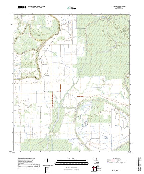
2024 Indian Lake
Madison Parish, LA
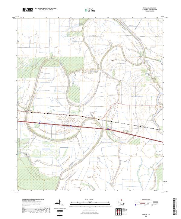
2024 Tendal
Madison Parish, LA
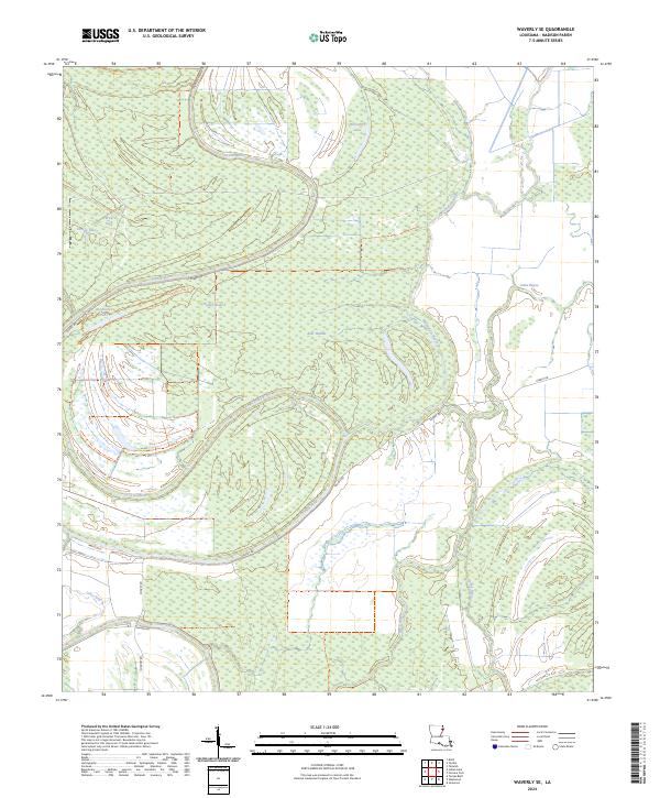
2024 Waverly SE
Madison Parish, LA