1900s (20th Century) Maps of Tippah County, Mississippi
Explore 27 historic maps of Tippah County from the 1900s (20th Century). These maps offer a rare glimpse into what life looked like during the 1900s — showing old roads, neighborhoods, homes, and landmarks that have changed or disappeared over time.
Whether you're researching your family's past, planning a metal detecting trip, or studying how Tippah County's landscape evolved across the 1900s, these high-resolution maps are a powerful tool for exploring the history of this region.
- Focus on a specific era: All maps on this page are from the 1900s, giving you a focused view of this time period.
- See what’s changed: Compare century-old streets, trails, and buildings to today's modern landscape using overlays and satellite layers.
- Research with precision: Use these maps for genealogy, historical research, land use analysis, or educational projects.
- View, download, or print: Maps are fully viewable online in high resolution, and can be downloaded or printed for your own records.
Start exploring Tippah County's history through authentic maps from the 1900s. This is your window into the past.
Tippah County, MS maps
(27)- 1921 Map of Booneville
 1921 Booneville1921 Print · USGSNortheast Mississippi was a landscape of tightly-knit rural communities in the early 1920s. Researchers can trace dozens of family-named schools and churches like Bynum School, Gaston Church, and Jumpertown along the Mobile and Ohio RR.2 unique versions available
 - 1922 Map of Booneville
 1922 Booneville1922 Print · USGSPrentiss County during the early 1920s is centered on the Mobile and Ohio RR line connecting Booneville and Baldwyn. Family historians can trace local landmarks like Crossroads Church, Jumper School, and Blackland across this detailed rural landscape.
 - 1950 Map of Ashland, 1952 Print
 1950 Ashland1952 Print · USGSBenton County at the mid-century is captured here as a landscape of small timber towns and forest clearings before modern development. You can trace early school sites like Holloway Sch and family-centered landmarks such as Whitten Town and Hunters Chapel.3 unique versions available
 - 1950 Map of Corinth, 1952 Print
 1950 Corinth1952 Print · USGSAlcorn County's rail-and-river landscape comes alive in the early fifties as Corinth expands at the junction of three major railroads. Genealogists can trace family roots through dozens of rural landmarks like Wesley Chapel, Kossuth, and the National Cemetery.3 unique versions available
 - 1951 Map of Walnut, 1953 Print
 1951 Walnut1953 Print · USGSThe Mississippi-Tennessee borderlands in the early 1950s show a landscape defined by the Gulf Mobile and Ohio railroad and winding creek valleys. Genealogists can trace family roots through numerous sites like Old Mt Zion Cem, Providence Sch, and Chalybeate.4 unique versions available
 - 1955 Map of Ripley, 1956 Print
 1955 Ripley1956 Print · USGSMid-century Tippah County life is centered on the railroad hub of Ripley and the headwaters of the Hatchie River. Genealogists and local historians can trace family roots through numerous rural landmarks like Academy Ch, Antioch Sch, and Pleasant Hill Cem.2 unique versions available
 - 1955 Map of Blue Mountain, 1956 Print
 1955 Blue Mountain1956 Print · USGSTippah and Union counties are shown in the mid-fifties during a period of steady growth along the regional rail lines. Researchers can trace family sites among dozens of landmarks like St Matthew Ch, Pumpkin Center, and the Myrtle Lookout Tower.3 unique versions available
 - 1956 Map of Tupelo, 1967 Print
 1956 Tupelo1967 Print · USGSNortheast Mississippi and parts of Tennessee and Alabama are shown here during the mid-fifties, a time of major reservoir construction and forestry management. Researchers can trace the St Louis-San Francisco RR through Tupelo or locate historic sites like Tishomingo State Park and the University.2 unique versions available
 - 1958 Map of Tupelo
 1958 Tupelo1958 Print · USGSNortheast Mississippi and neighboring Alabama and Tennessee appear here during the late fifties as a region defined by new reservoirs and historic rail lines. Genealogists can trace family locations near Sardis Lake, Woodall Mountain, and the St Louis-San Francisco Ry.
 - 1972 Map of Jumpertown, 1975 Print
 1972 Jumpertown1975 Print · USGSNortheast Mississippi’s upland border country is documented here in the early 1970s, showing the small communities and rural churches across the Tippah Hills. Genealogists can locate family landmarks like Morton Chapel Cem, Jumpertown Ch, and the outlying settlement of Blackland.
 - 1973 Map of Baldwyn, 1975 Print
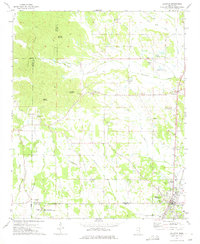 1973 Baldwyn1975 Print · USGSNorthern Mississippi's hill country and rail corridors are detailed in the early seventies, centered on the historic crossroads at Baldwyn. Researchers can trace the Brice's Cross Roads National Battlefield Site or find old family landmarks like Oak Hill Ch and Sheppard Cem.2 unique versions available
 - 1982 Map of Kossuth South, 1983 Print
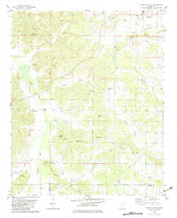 1982 Kossuth South1983 Print · USGSAlcorn County in the early eighties remains a landscape of small rural settlements and family-named ridges. Researchers can locate community anchors like Kossuth, trace the Hatchie River crossings, and find genealogy-rich sites like Antioch Ch No 1 and Pleasant Grove Cem.
 - 1982 Map of Keownville, 1983 Print
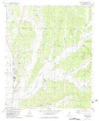 1982 Keownville1983 Print · USGSNortheast Mississippi at the start of the eighties shows a landscape of creek-fed valleys and quiet rail junctions. Genealogists can locate family landmarks like Roach Cem, Keownville, and several country churches including Ebenezer Ch and Palestine Ch.
 - 1982 Map of Dumas, 1983 Print
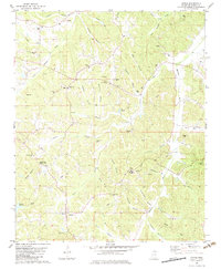 1982 Dumas1983 Print · USGSDumas and the Tippah County hills are captured here in the early eighties, showing a landscape of scattered rural settlements and family cemeteries. Researchers can locate the Tippah County Lookout Tower, Pine Grove High Sch, and the Dumas Cem.
 - 1982 Map of Chalybeate, 1983 Print
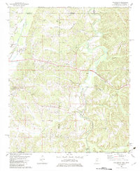 1982 Chalybeate1983 Print · USGSStraddling the Tennessee-Mississippi border in the early eighties, this area shows a landscape defined by its creek-bottom farms and rural family settlements. Researchers can trace local roots through Union Cem, Union Center Sch, and crossroads like Jonesboro or Mathis.
 - 1982 Map of Pleasant Ridge, 1983 Print
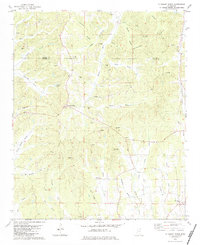 1982 Pleasant Ridge1983 Print · USGSThe rural borderlands of Union and Tippah counties come into focus in the early 1980s, showcasing a landscape of small crossroads settlements and family farms. Researchers can trace ancestral locations through Mt Zion Ch and the Zion Hill Cem, or explore the old industrial sites at Oil Mill Hill.
 - 1982 Map of Ripley, 1983 Print
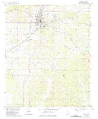 1982 Ripley1983 Print · USGSRipley and its outlying Tippah County settlements are captured here in the early eighties as the railroad still influenced the local economy. Genealogists can trace family landmarks like Moses Chapel, Academy Ch, and the New York Cem near the Little Hatchie River.
 - 1982 Map of Blue Mountain, 1983 Print
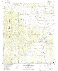 1982 Blue Mountain1983 Print · USGSBlue Mountain and the Tippah County countryside are captured here in the late seventies, showing a landscape of small-town institutions and timbered forest. Genealogists can trace family landmarks like Rutherford Cem, Gravestown, and Beulah Hill Ch.
 - 1982 Map of Myrtle, 1983 Print
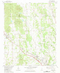 1982 Myrtle1983 Print · USGSThe hills and river bottoms of Union County are captured here in the early eighties as rural life centered around the Illinois Central Gulf rail line. Genealogists and local historians can trace old community hubs like Old Myrtle, Cotton Plant, and Zion Hill Ch.
 - 1982 Map of Peoples, 1983 Print
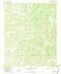 1982 Peoples1983 Print · USGSTippah and Alcorn counties in the early eighties were defined by the winding Hatchie River and its rural settlements. Genealogists can trace family roots through numerous sites like Pleasant Ridge Cem, Golden Hill Ch, and the hamlet of Peoples.
 - 1982 Map of Walnut, 1983 Print
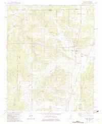 1982 Walnut1983 Print · USGSTippah County and the Tennessee-Mississippi border are captured in the early eighties as the railroad still anchored local life. Genealogists can trace family footprints at Enon Cem, New Salem Ch, and the small community of Tiplersville.
 - 1982 Map of Camp Hill, 1983 Print
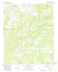 1982 Camp Hill1983 Print · USGSThe rural borderlands of Mississippi and Tennessee are captured here in the early eighties, centered on the Holly Springs National Forest. Researchers can trace genealogical roots through numerous sites like Zion Chapel Cem, Wesley Cem, and the small settlement at New Canaan.
 - 1982 Map of Whitten Town, 1983 Print
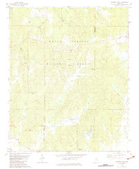 1982 Whitten Town1983 Print · USGSBenton and Tippah Counties appear here in the early eighties as a landscape of timber and quiet hill communities. Researchers can locate numerous ancestral sites like Whitten Town, Shelby Creek Cem, and country churches including Little Hope Ch.
 - 1982 Map of Falkner, 1983 Print
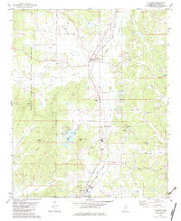 1982 Falkner1983 Print · USGSTippah County in the early eighties shows a landscape of timber and rail, centered on the settlement of Falkner. Genealogists and local historians can trace family locations at the Ruckerville Cem, Nance Cem, and rural pulpits like Berean Ch.
 - 1984 Map of Corinth
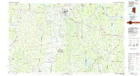 1984 Corinth1984 Print · USGSNortheast Mississippi and its borders with Alabama and Tennessee are captured here in the mid-1980s, showcasing a landscape of rail-connected towns and ridge-top settlements. Researchers can trace the path of the Natchez Trace Parkway or locate family-named landmarks near Biggersville, Kossuth, and the historic Tennessee Divide.
Showing maps 1-25 of 27
Top cities of Tippah County
- Ripley historical maps
- Blue Mountain historical maps
- Walnut historical maps
- Dumas historical maps
- Falkner historical maps
Frequently asked questions
- What are the different types of historical maps available for Tippah County?
- What is the oldest map of Tippah County?
- Where can I purchase historical maps of Tippah County for my home or office?
- Where can I download high-res historical maps of Tippah County?
- Are there historical topographic maps available for Tippah County?
- Is there historical aerial imagery available for Tippah County?
- Where are historical maps of Tippah County sourced from?