2020s Maps of Tippah County, Mississippi
Explore 30 historic maps of Tippah County from the 2020s. These maps offer a rare glimpse into what life looked like during the 2020s — showing old roads, neighborhoods, homes, and landmarks that have changed or disappeared over time.
Whether you're researching your family's past, planning a metal detecting trip, or studying how Tippah County's landscape evolved across the 2020s, these high-resolution maps are a powerful tool for exploring the history of this region.
- Focus on a specific era: All maps on this page are from the 2020s, giving you a focused view of this time period.
- See what’s changed: Compare century-old streets, trails, and buildings to today's modern landscape using overlays and satellite layers.
- Research with precision: Use these maps for genealogy, historical research, land use analysis, or educational projects.
- View, download, or print: Maps are fully viewable online in high resolution, and can be downloaded or printed for your own records.
Start exploring Tippah County's history through authentic maps from the 2020s. This is your window into the past.
Tippah County, MS maps
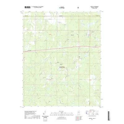
(30)- 2020 Map of Baldwyn, 2020 Print
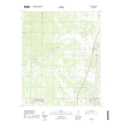 2020 Baldwyn2020 Print · USGSCovers Tippah County, including Baldwyn, Lebanon, and other nearby areas
 - 2020 Map of Kossuth South, 2020 Print
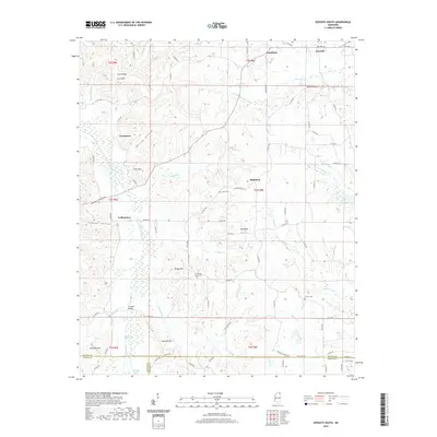 2020 Kossuth South2020 Print · USGSCovers Tippah County, including Kossuth, Jonestown, and other nearby areas
 - 2020 Map of Dumas, 2020 Print
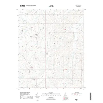 2020 Dumas2020 Print · USGSCovers Tippah County, including Dumas, Mitchell, and other nearby areas
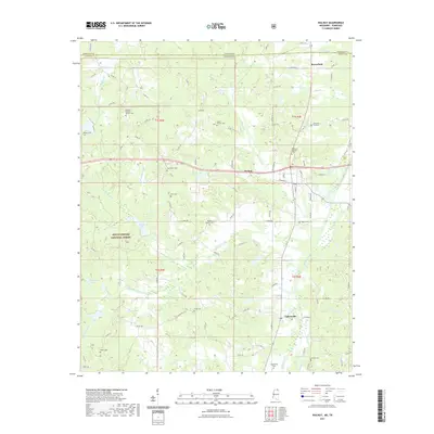
 - 2020 Map of Ripley, 2020 Print
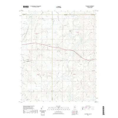
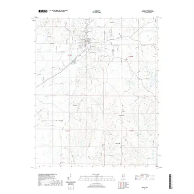 2020 Ripley2020 Print · USGSCovers Tippah County, including Ripley, Buena Vista, and other nearby areas
 - 2020 Map of Pleasant Ridge, 2020 Print
 2020 Pleasant Ridge2020 Print · USGSCovers Tippah County, including Dumas, Halltown, and other nearby areas
 - 2020 Map of Jumpertown, 2020 Print
 2020 Jumpertown2020 Print · USGSCovers Tippah County, including Jumpertown, Blackland, and other nearby areas
 - 2020 Map of Peoples, 2020 Print
 2020 Peoples2020 Print · USGSCovers Tippah County, including Silver Springs, Alcorn County, and other nearby areas
 - 2020 Map of Keownville, 2020 Print
 2020 Keownville2020 Print · USGSCovers Tippah County, including New Albany, Bluff, and other nearby areas
 - 2020 Map of Chalybeate, 2020 Print
 2020 Chalybeate2020 Print · USGSCovers Tippah County, including Chalybeate, Alcorn County, and other nearby areas
 - 2021 Map of Blue Mountain, 2021 Print
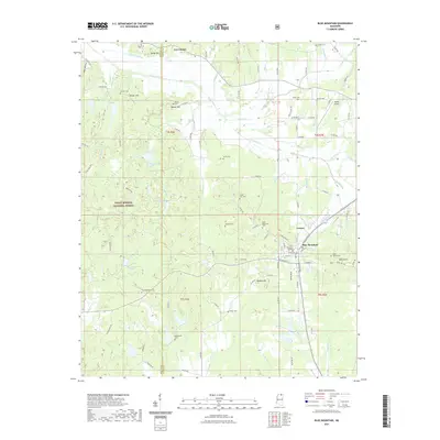 2021 Blue Mountain2021 Print · USGSCovers Tippah County, including Blue Mountain, Gravestown, and other nearby areas
 - 2021 Map of Falkner, 2021 Print
 2021 Falkner2021 Print · USGSCovers Tippah County, including Ripley, Falkner, and other nearby areas
 - 2021 Map of Whitten Town, 2021 Print
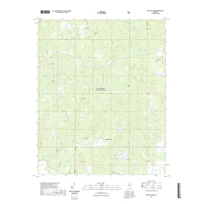 2021 Whitten Town2021 Print · USGSCovers Tippah County, including Whitten Town, Benton County, and other nearby areas
 - 2021 Map of Camp Hill, 2021 Print
 2021 Camp Hill2021 Print · USGSCovers Tippah County, including Black Jack, Brody, and other nearby areas
 - 2021 Map of Walnut, 2021 Print
 2021 Walnut2021 Print · USGSCovers Tippah County, including Walnut, Mount Moriah, and other nearby areas
 - 2021 Map of Myrtle, 2021 Print
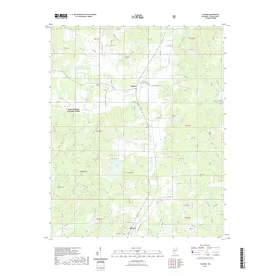
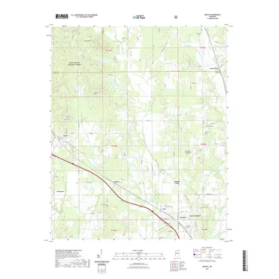 2021 Myrtle2021 Print · USGSCovers Tippah County, including New Albany, Myrtle, and other nearby areas
 - 2024 Map of Kossuth South, 2024 Print
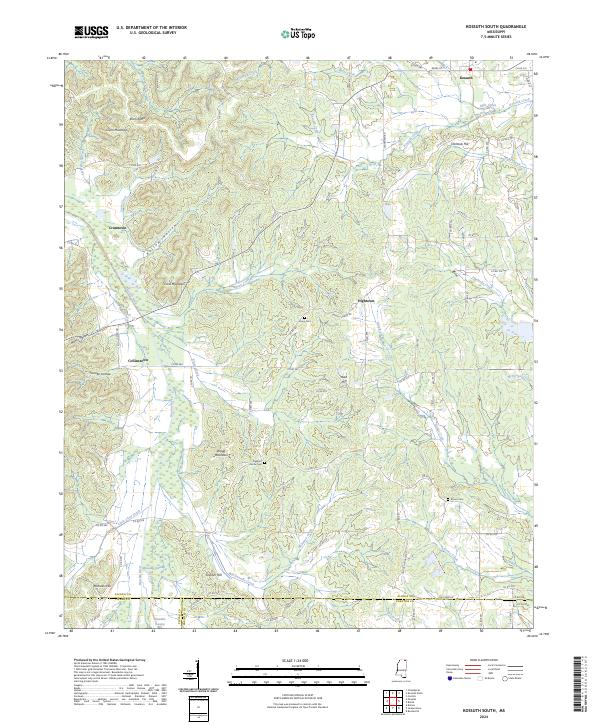 2024 Kossuth South2024 Print · USGSNorth Mississippi's rural communities and complex ridge-and-hollow topography are documented in this recent survey. Local historians can trace family locations near Crumtown, Union Cem, and the historic route of Old Stage Rd.
 - 2024 Map of Pleasant Ridge, 2024 Print
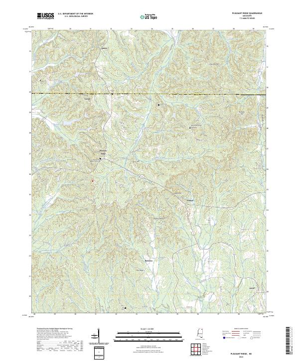 2024 Pleasant Ridge2024 Print · USGSThe borderlands of Union and Tippah counties come into focus in this contemporary survey of North Mississippi's hilly interior. Genealogists and local historians can locate many family burial sites and rural centers like Dumas, Pleasant Ridge, and the Zion Hill Cem.
 - 2024 Map of Ripley, 2024 Print
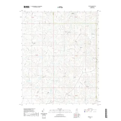
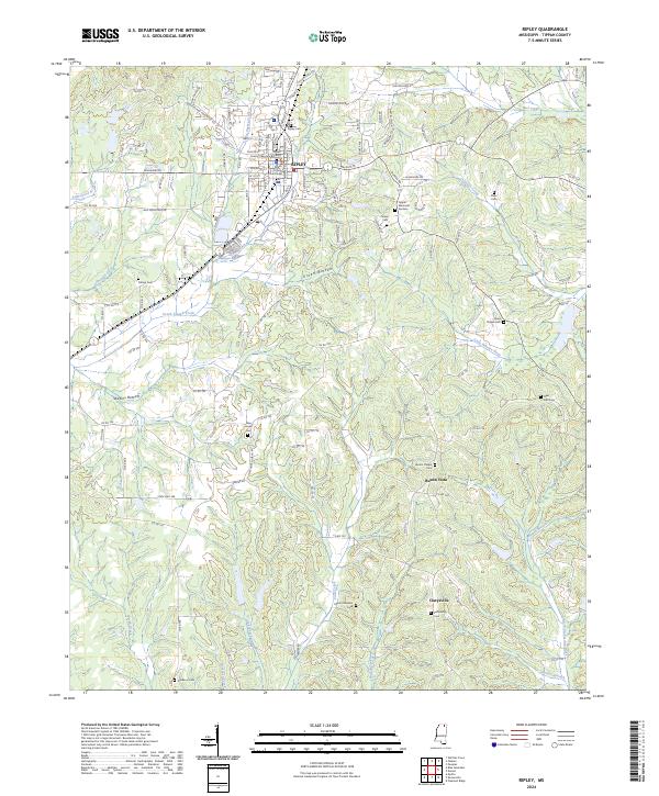 2024 Ripley2024 Print · USGSThe town of Ripley and the surrounding Tippah County countryside are captured here in the early 2020s. Researchers can locate civic landmarks like the Tippah County Courthouse alongside rural settlements at Buena Vista and Clarysville.
 - 2024 Map of Walnut, 2024 Print
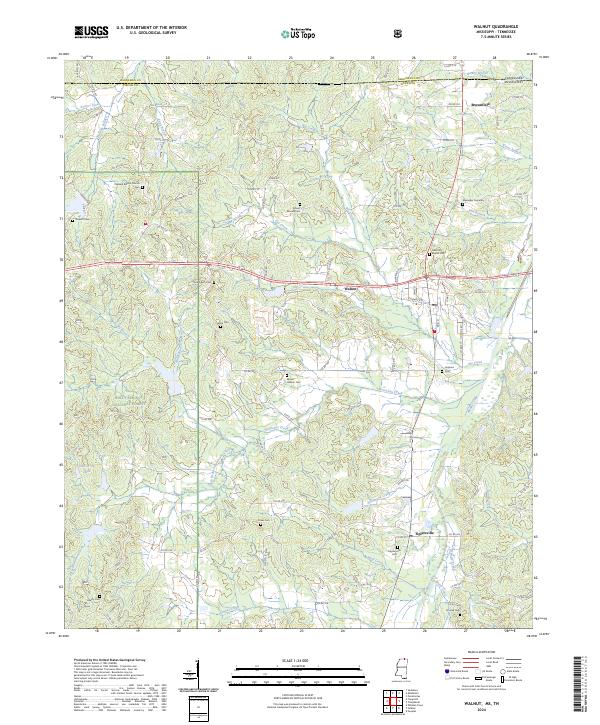 2024 Walnut2024 Print · USGSThe Tippah County hills come into focus in this contemporary survey of the Mississippi-Tennessee borderlands. Genealogists can trace family roots through numerous sites like Mount Hebron Cem, New Salem Cem, and Tipplersville Cem.
 - 2024 Map of Peoples, 2024 Print
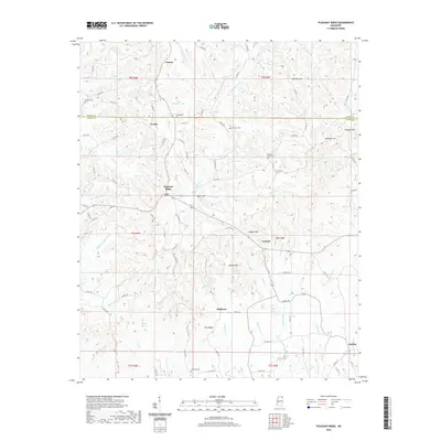
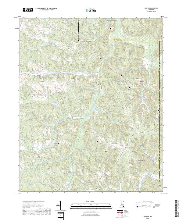 2024 Peoples2024 Print · USGSTippah County at the start of the 2020s remains a landscape of small rural communities and family burial grounds. Genealogists can trace local history through sites like Pleasant Hill Cem, Richardson Cem, and Lebanon Baptist Church Cem.
 - 2024 Map of Dumas, 2024 Print
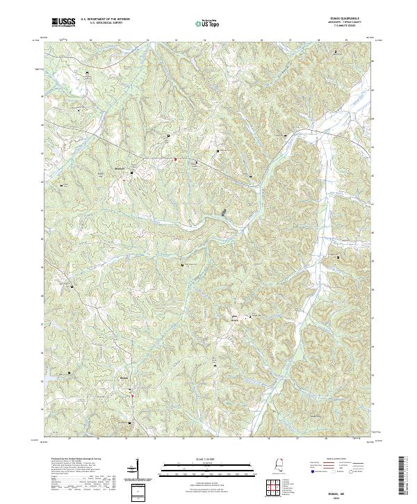 2024 Dumas2024 Print · USGSTippah County at the start of the 2020s remains a landscape of tightly-knit rural communities and family-named landmarks. Researchers can trace deep genealogical roots through numerous burial sites like Paynes Chapel Cem, Boxs Chapel Cem, and Dumas Cem.
 - 2024 Map of Falkner, 2024 Print
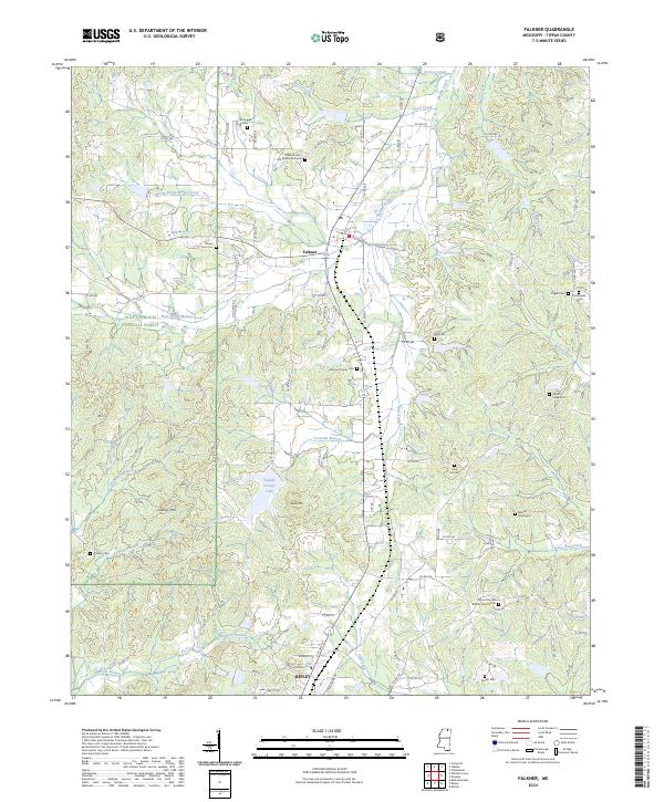 2024 Falkner2024 Print · USGSNorthern Tippah County in the 2020s shows a landscape of timbered forest and family history between Falkner and Ripley. Researchers can trace old family burial sites like Nance Graveyard and Johnson Family Cem or locate Tippah County Lake and Lindsey Mtn.
 - 2024 Map of Keownville, 2024 Print
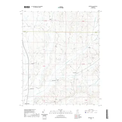
 2024 Keownville2024 Print · USGSNorth Mississippi's rural landscape comes into focus in this contemporary study of the Union and Tippah county borderlands. Genealogists and local historians can trace family locations through numerous sites like Ebenezer Cem, Mount Olivet Cem, and the settlement of Keownville.
 - 2024 Map of Blue Mountain, 2024 Print
 2024 Blue Mountain2024 Print · USGSBlue Mountain and the surrounding Tippah County countryside are captured here in the early twenty-first century, showing a landscape defined by collegiate history and national forest land. Genealogists can trace family landmarks like Duncan Family Cem, Rutherford Cem, and the settlement at Gravestown.
 - 2024 Map of Whitten Town, 2024 Print
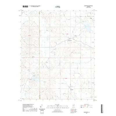
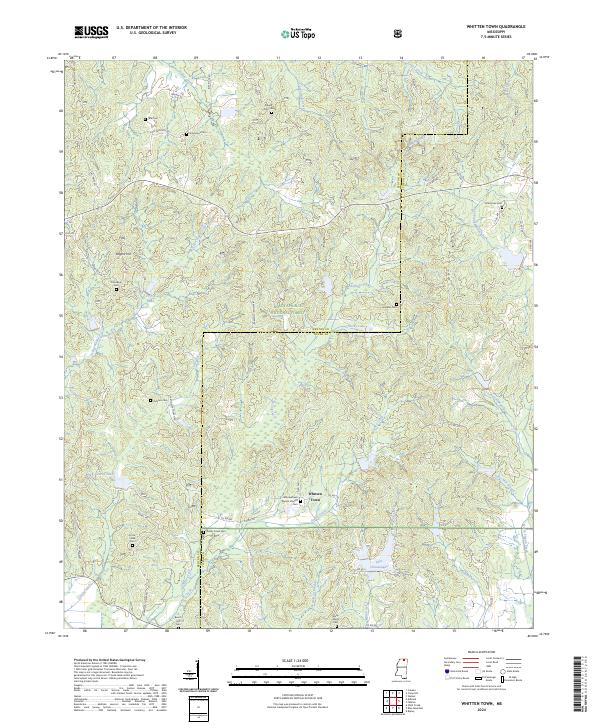 2024 Whitten Town2024 Print · USGSBenton and Tippah Counties are shown here during the early 2020s, characterized by the wooded reaches of the Holly Springs National Forest. Researchers can locate numerous rural burial sites like Little Hope Cem and the community of Whitten Town.
Showing maps 1-25 of 30
Top cities of Tippah County
- Ripley historical maps
- Blue Mountain historical maps
- Walnut historical maps
- Dumas historical maps
- Falkner historical maps
Frequently asked questions
- What are the different types of historical maps available for Tippah County?
- What is the oldest map of Tippah County?
- Where can I purchase historical maps of Tippah County for my home or office?
- Where can I download high-res historical maps of Tippah County?
- Are there historical topographic maps available for Tippah County?
- Is there historical aerial imagery available for Tippah County?
- Where are historical maps of Tippah County sourced from?