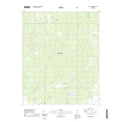
2021 Map of Whitten Town
USGS Topo · Published 2021About this map
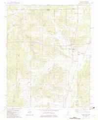
Whitten Town serves as the focal point of this North Mississippi landscape, where the borders of Benton and Tippah Counties meet. The area is characterized by a high density of small family and community burial grounds, including Whitten Town Cem, Shelby Creek Cem, and Beech Hill Cem, which suggest long-standing rural settlement patterns. The terrain is defined by the drainage of several waterways such as Ishitubba Cr, Caney Cr, and Shelby Cr, with the prominent Rogers Hill rising in the northwest. Much of the central portion of the map is dedicated to the Holly Springs National Forest, reflecting a transition from historical agricultural use to managed woodland. Local landmarks like Lake Chautauqua and Curtis Lake indicate the distribution of water resources in this timber and creek-fed region.
Find a feature on this map
78 named features on this map. Tap any name to fly to it.
Don’t see what you’re looking for? This feature index may not catch every label — zoom into the map to look around manually.
Map Details
Editions of this 2021 Whitten Town Map
This is the sole edition of this map. No revisions or reprints were ever made.
Other maps of this area

1950 · Ashland
USGS Topo · 1:62,500

1951 · Walnut
USGS Topo · 1:62,500

1955 · Ripley
USGS Topo · 1:62,500

1955 · Blue Mountain
USGS Topo · 1:62,500

1956 · Tupelo
USGS Topo · 1:250,000

1958 · Tupelo
USGS Topo · 1:250,000
1982 · Ripley
USGS Topo · 1:24,000
1982 · Blue Mountain
USGS Topo · 1:24,000
1982 · Chilli Creek
USGS Topo · 1:24,000
1982 · Walnut
USGS Topo · 1:24,000