
1955 Map of Blue Mountain
USGS Topo · Published 1956About this map
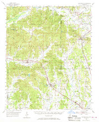
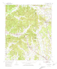
Blue Mountain and the Holly Springs National Forest define this landscape at the intersection of Benton, Union, and Marshall counties. The regional geography is marked by the Gulf Mobile and Ohio and St Louis San Francisco railroads, which facilitated the movement of timber and agricultural goods from small centers like Hickory Flat and Myrtle. Notable for local history and genealogy, the map identifies numerous rural congregations such as St Matthew Ch, Bois D' Arc Ch, and Beulah Isad Ch, alongside small schoolhouses including Shady Grove Sch and Union Grove Sch. The topography reveals the Oaklimeter Hills and the Helpsy Hills, with unique water features like the Flowing Well near the Marshall County line. This survey provides a look at the mid-century infrastructure of Tippah County, where the industrial footprint includes a Claypit and the Myrtle Lookout Tower.
Find a feature on this map
109 named features on this map. Tap any name to fly to it.
Don’t see what you’re looking for? This feature index may not catch every label — zoom into the map to look around manually.
Map Details
Editions of this 1955 Blue Mountain Map
3 editions found
Other maps of this area

1942 · Denmark
USGS Topo · 1:62,500

1943 · Denmark
USGS Topo · 1:62,500

1944 · Potts Camp
USGS Topo · 1:62,500

1945 · Potts Camp
USGS Topo · 1:62,500

1949 · New Albany
USGS Topo · 1:62,500

1950 · Ashland
USGS Topo · 1:62,500

1951 · New Albany
USGS Topo · 1:62,500

1951 · Walnut
USGS Topo · 1:62,500

1953 · Holly Springs
USGS Topo · 1:62,500

1955 · Ripley
USGS Topo · 1:62,500