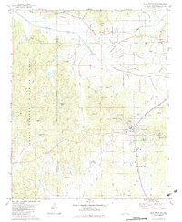
1955 Map of Blue Mountain
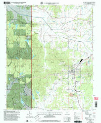
USGS Topo · Published 1969About this map
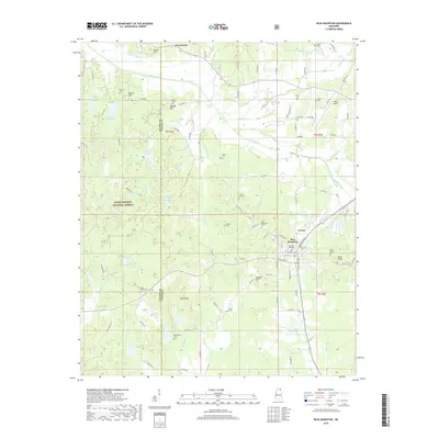
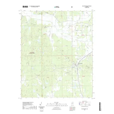
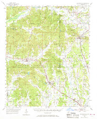
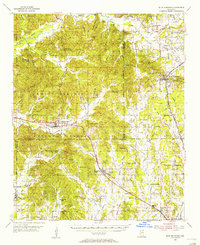
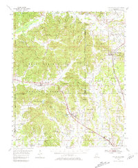
The Holly Springs National Forest anchors this mid-century survey of northern Mississippi, where the headwaters of the Tippah Creek and North Tippah Creek carve through a landscape of ridges and timber. The town of Blue Mountain sits at the intersection of local history and commerce, marked by the Gulf Mobile and Ohio railroad and proximity to Blue Mountain Cemetery. Further west, Hickory Flat and Myrtle serve as primary hubs along the St Louis and San Francisco line, which bisects the southern reaches of the quadrangle. The map is particularly dense with genealogical markers, including numerous family-named burial grounds like McAllister Cemetery and Elliott Cemetery, alongside rural congregations such as Graham Chapel and Amaziah Church. This topography reveals a settlement pattern dictated by the Heinsy Hills and Darden Hills, where small communities like Pumpkin Center and Cotton Plant emerged at the crossroads of early transport routes.
Find a feature on this map
165 named features on this map. Tap any name to fly to it.
Don’t see what you’re looking for? This feature index may not catch every label — zoom into the map to look around manually.
Map Details
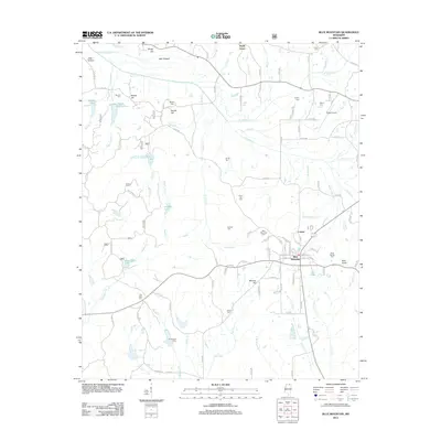
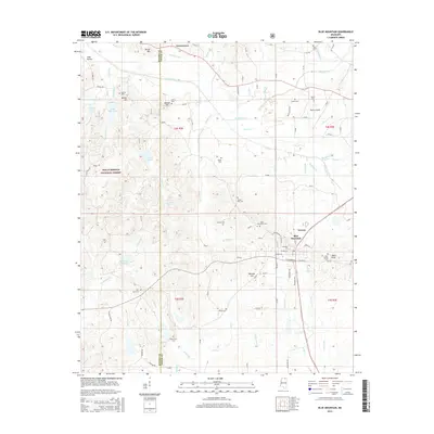
Editions of this 1955 Blue Mountain Map
3 editions found
Historical Maps of New Albany Through Time
8 maps found