Old Maps of Blue Springs, Mississippi for Metal Detecting
Plan your next treasure hunt with 17 historic maps of Blue Springs. Find old homesites, ghost towns, trails, and gathering spots that may be lost to time — perfect for identifying promising metal detecting locations.
- Locate forgotten sites: Uncover places like long-lost settlements, abandoned rail lines, or gathering spots.
- Plan better hunts: Use map overlays combined with LiDAR or satellite views to narrow in on historically rich areas.
- Made for detectorists: Thousands of hobbyists use these maps to discover relics, coins, and hidden history.
Use these historic maps to boost your research and find new opportunities beneath the surface of Blue Springs.
Blue Springs, MS maps
(17)- 1955 Map of Sherman, 1956 Print
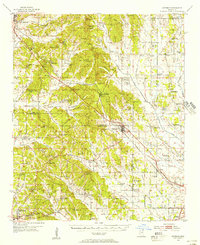 1955 Sherman1956 Print · USGSNortheast Mississippi in the mid-fifties is captured here as a landscape of small railway towns and rural crossroads along the St Louis San Francisco line. Genealogists can trace family landmarks like Cherry Creek Cem, Wallerville, and Rakestraw Mountain.2 unique versions available
 - 1956 Map of Tupelo, 1967 Print
 1956 Tupelo1967 Print · USGSNortheast Mississippi and parts of Tennessee and Alabama are shown here during the mid-fifties, a time of major reservoir construction and forestry management. Researchers can trace the St Louis-San Francisco RR through Tupelo or locate historic sites like Tishomingo State Park and the University.2 unique versions available
 - 1958 Map of Tupelo
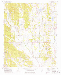
 1958 Tupelo1958 Print · USGSNortheast Mississippi and neighboring Alabama and Tennessee appear here during the late fifties as a region defined by new reservoirs and historic rail lines. Genealogists can trace family locations near Sardis Lake, Woodall Mountain, and the St Louis-San Francisco Ry.
 - 1980 Map of New Albany East, 1981 Print
 1980 New Albany East1981 Print · USGSNortheast Mississippi in the early eighties shows a landscape of rail-connected towns and rural hill country. You can trace the St Louis-San Francisco rail line through Wallerville or locate family markers at Oak Grove Ch Cem and Adair Cem.
 - 1980 Map of Ellistown, 1981 Print
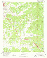
 1980 Ellistown1981 Print · USGSThe hills of Union and Lee County are captured here in the late twentieth century, showing a landscape defined by small crossroads and ridge-top settlements. Genealogists can trace family roots through sites like Jones Chapel, Red Hill Cem, and the community around Ellistown.
 - 1984 Map of Tupelo
 1984 Tupelo1984 Print · USGSNorth Mississippi in the 1980s is defined by its massive river basin reservoirs and the growing regional hubs of Tupelo and Oxford. Researchers can trace the legacy of the Pontotoc Ridge, find the University of Mississippi, and map early Interstate corridors near Sardis Lake.3 unique versions available
 - 1984 Map of Tupelo, 1985 Print
 1984 Tupelo1985 Print · USGSNortheast Mississippi and the Alabama borderlands are shown in the mid-1980s as timber and river networks shaped the region. Trace local history through the Illinois Central Gulf rail line and sites like the Old Natchez Trace Parkway.
 - 2012 Map of Ellistown, 2012 Print
 2012 Ellistown2012 Print · USGSCovers Blue Springs, including Ellistown, Corrona, and other nearby areas
 - 2012 Map of New Albany East, 2012 Print
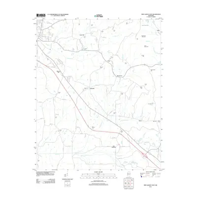 2012 New Albany East2012 Print · USGSCovers Blue Springs, including New Albany, Center, and other nearby areas
 - 2015 Map of New Albany East, 2015 Print
 2015 New Albany East2015 Print · USGSCovers Blue Springs, including New Albany, Center, and other nearby areas
 - 2015 Map of Ellistown, 2015 Print
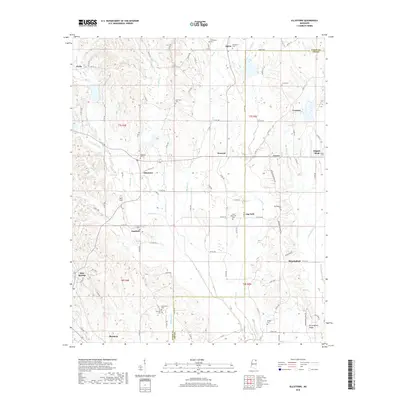
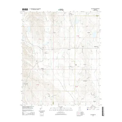 2015 Ellistown2015 Print · USGSCovers Blue Springs, including Ellistown, Corrona, and other nearby areas
 - 2018 Map of New Albany East, 2018 Print
 2018 New Albany East2018 Print · USGSCovers Blue Springs, including New Albany, Center, and other nearby areas
 - 2018 Map of Ellistown, 2018 Print
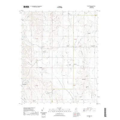
 2018 Ellistown2018 Print · USGSCovers Blue Springs, including Ellistown, Corrona, and other nearby areas
 - 2020 Map of Ellistown, 2020 Print
 2020 Ellistown2020 Print · USGSCovers Blue Springs, including Ellistown, Corrona, and other nearby areas
 - 2021 Map of New Albany East, 2021 Print
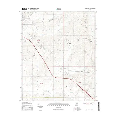
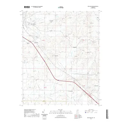 2021 New Albany East2021 Print · USGSCovers Blue Springs, including New Albany, Center, and other nearby areas
 - 2024 Map of New Albany East, 2024 Print
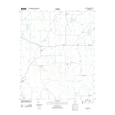
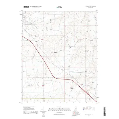
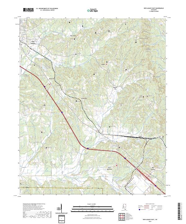 2024 New Albany East2024 Print · USGSEastern Union County and the hills of North Mississippi are captured in this 2024 survey as the region continues to evolve. Local historians can trace the foundations of Blue Springs, New Harmony, and Wallerville alongside family-named sites like Snider Cem and Rakestraw Mountain.
 - 2024 Map of Ellistown, 2024 Print
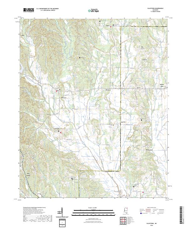 2024 Ellistown2024 Print · USGSNortheast Mississippi’s rural landscape comes to life in this survey of the Ellistown and Birmingham vicinity at the Lee and Union county line. Researchers can trace ancestral sites and small communities through numerous local landmarks like Birmingham Cem, Blue Springs, and Boggan Bend.
End of results
Showing maps 1-17 of 17
Top cities near Blue Springs
- Tupelo historical maps
- New Albany historical maps
- Pontotoc historical maps
- Saltillo historical maps
- Verona historical maps
- Baldwyn historical maps
See more
Frequently asked questions
- What are the different types of historical maps available for Blue Springs?
- What is the oldest map of Blue Springs?
- Where can I purchase historical maps of Blue Springs for my home or office?
- Where can I download high-res historical maps of Blue Springs?
- Are there historical topographic maps available for Blue Springs?
- Is there historical aerial imagery available for Blue Springs?
- Where are historical maps of Blue Springs sourced from?