Old Maps of Rawhide, Mississippi for Academic Research
Study the evolution of Rawhide with 12 high-resolution historic maps. Whether you're teaching, researching, or modeling changes in land use, these maps provide essential visual documentation of urban, environmental, and geographic change.
- Analyze long-term change: Track patterns in development, transportation, and natural features.
- Ideal for environmental or urban studies: Support academic projects with primary historical map data.
- Use in the classroom or lab: Educators and researchers rely on these maps to bring historical context to life.
These maps are a powerful tool for teaching, research, and visualizing how Rawhide has changed over the decades.
Rawhide, MS maps
(12)- 1938 Map of Edwards
 1938 Edwards1938 Print · USGSIn the late 1930s, the Hinds County countryside around Edwards was a dense network of rural schools and uniquely named churches. Trace the oxbows of the Big Black River to find landmarks like Mt Beulah College, Little Kingdom Come Ch, and Tomcat Island.3 unique versions available
 - 1955 Map of Jackson
 1955 Jackson1955 Print · USGSThe Lower Mississippi Valley at the middle of the century reveals a landscape of deep river meanders and growing rail hubs. Genealogists and historians can trace the mid-century footprints of Vicksburg National Military Park, old river landings at Port Gibson, and the rail corridors of the Illinois Central Railroad.3 unique versions available
 - 1961 Map of Jackson
 1961 Jackson1961 Print · USGSThe Lower Mississippi Delta and the state capital area are captured here during the post-war era of infrastructure expansion. Researchers can trace the complex river oxbows and rail lines connecting Vicksburg, Yazoo City, and the Illinois Central Railroad network.
 - 1962 Map of Jackson
 1962 Jackson1962 Print · USGSThe Mississippi Delta and the state capital region are mapped here in the early sixties, showing a landscape defined by the great river and the growing city of JACKSON. Genealogists can trace family roots through numerous landmarks like Cedar Hill Cem, rural stops on the Illinois Central RR, and historic sites like Champion Hill.2 unique versions available
 - 1972 Map of Oak Ridge, 1974 Print
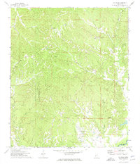 1972 Oak Ridge1974 Print · USGSWarren County ridge country is captured here in the early 1970s, showcasing a network of upland settlements and family burial grounds. Researchers can trace local lineage through sites like Hackler Cem, Brickhouse Cem, and Holy Hill Ch.2 unique versions available
 - 1975 Map of Edwards, 1976 Print
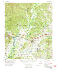 1975 Edwards1976 Print · USGSCentral Mississippi in the mid-seventies shows a landscape of river-bottom farms and rail towns along the Illinois Central Gulf. Genealogists can trace family names through landmarks like Neely Cem, Taylor Cem, and the site of Mt Beulah College.
 - 1984 Map of Jackson
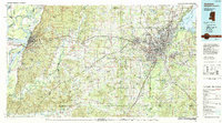 1984 Jackson1984 Print · USGSCentral Mississippi in the mid-eighties shows a landscape defined by the growing suburbs of Jackson and the riverfront legacy of Vicksburg. Researchers can trace the Natchez Trace Parkway or locate local landmarks like Utica College and Mississippi State Hospital.
 - 2012 Map of Oak Ridge, 2012 Print
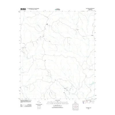 2012 Oak Ridge2012 Print · USGSOak Ridge and its surrounding rural communities are captured here in the early twenty-first century. Genealogists and local historians can trace family-named sites like Brickhouse Cem, Flower Hill Cem, and the Oak Ridge Lookout Tower.
 - 2015 Map of Oak Ridge, 2015 Print
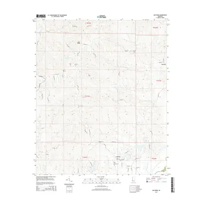 2015 Oak Ridge2015 Print · USGSWarren County’s dissected ridges and creek bottoms are documented here in the mid-2010s, showing a landscape defined by small rural hubs and family landmarks. Researchers can trace numerous local burial sites like Flower Hill Cem and Taylor Cem near the Big Black River.
 - 2018 Map of Oak Ridge, 2018 Print
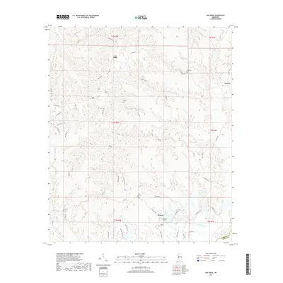 2018 Oak Ridge2018 Print · USGSWarren and Hinds Counties are mapped here in the late twenty-teens, showing the enduring rural character of the Mississippi interior. Researchers can trace family sites at Brickhouse Cemetery or Flower Hill Cemetery and follow old routes like Rawhide Road.
 - 2020 Map of Oak Ridge, 2020 Print
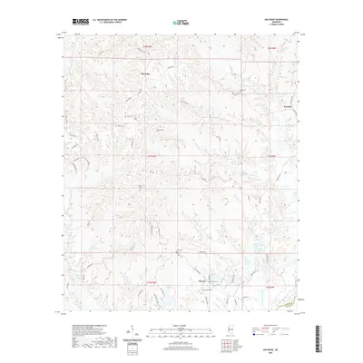 2020 Oak Ridge2020 Print · USGSOak Ridge and the rural Warren County uplands are captured here in a period of modern stability, highlighting the deep-rooted family history of the region. Researchers can trace ancestral locations through numerous burial grounds like Oakland Cem and Flower Hill Cem or locate the small crossroads at Rawhide and Flowers.
 - 2024 Map of Oak Ridge, 2024 Print
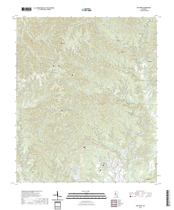 2024 Oak Ridge2024 Print · USGSThe rural uplands of Warren and Hinds County are shown in great detail during the early 2020s, highlighting the ridge-and-valley terrain near the Big Black River. Genealogists can locate several family burial grounds including Parker Cem and Taylor Cem alongside the settlement at Oak Ridge.
End of results
Showing maps 1-12 of 12
Top cities near Rawhide
- Vicksburg historical maps
- Raymond historical maps
- Edwards historical maps
- Bolton historical maps
- Satartia historical maps
Frequently asked questions
- What are the different types of historical maps available for Rawhide?
- What is the oldest map of Rawhide?
- Where can I purchase historical maps of Rawhide for my home or office?
- Where can I download high-res historical maps of Rawhide?
- Are there historical topographic maps available for Rawhide?
- Is there historical aerial imagery available for Rawhide?
- Where are historical maps of Rawhide sourced from?