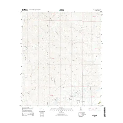
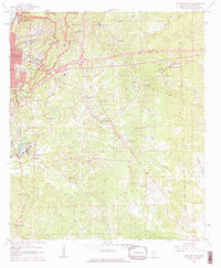
2015 Map of Oak Ridge
USGS Topo · Published 2015About this map
The ridge-and-hollow terrain of Warren County dominates this landscape, where small settlements like Oak Ridge and Rawhide are connected by a network of winding roads. For genealogists, the map is particularly rich in family-named burial grounds, including the Brickhouse Cem, Neely Cem, and Oakland Cem. The southern portion of the area transitions toward the lowlands near the Big Black River, which forms the boundary with Hinds County. This interface between the high ridges, such as Oak Ridge, and the drainage basins of Ballground Cr and Summer Seat Cr illustrates the traditional Mississippi settlement pattern of placing homes and small centers along high ground while reserving the creek bottoms for drainage. Cultural markers like Pennebaker near Flowers reflect the local social geography of the era.
Find a feature on this map
58 named features on this map. Tap any name to fly to it.
Don’t see what you’re looking for? This feature index may not catch every label — zoom into the map to look around manually.
Map Details
Editions of this 2015 Oak Ridge Map
This is the sole edition of this map. No revisions or reprints were ever made.
Other maps of this area
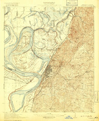
1918 · Vicksburg
USGS Topo · 1:62,500
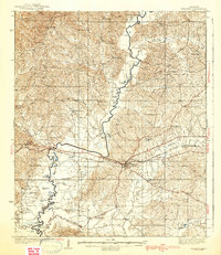
1938 · Edwards
USGS Topo · 1:62,500
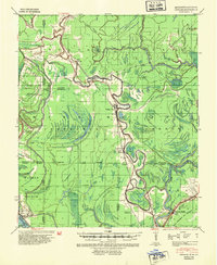
1939 · Onward
USGS Topo · 1:62,500
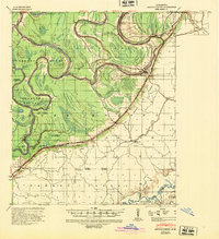
1940 · Mechanicsburg
USGS Topo · 1:62,500
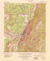
1941 · Vicksburg
USGS Topo · 1:62,500

1955 · Jackson
USGS Topo · 1:250,000

1961 · Jackson
USGS Topo · 1:250,000
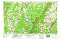
1962 · Jackson
USGS Topo · 1:250,000
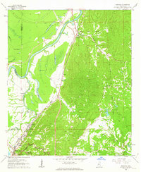
1962 · Redwood
USGS Topo · 1:24,000
1962 · Vicksburg East
USGS Topo · 1:24,000