
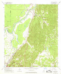
1962 Map of Redwood
USGS Topo · Published 1963About this map
Yazoo River bottomlands and the rugged bluffs of Warren County meet on this 1960s survey, revealing a landscape defined by both military history and river-and-rail industry. The northern edge of Vicksburg National Military Park occupies the southern corner, while the historic Old Indian Treaty Boundary cuts diagonally across the eastern uplands. The Illinois Central Railroad serves as a central spine, connecting riverside settlements like Waltersville, Kings, and Redwood.
Find a feature on this map
41 named features on this map. Tap any name to fly to it.
Don’t see what you’re looking for? This feature index may not catch every label — zoom into the map to look around manually.
Map Details
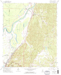
Editions of this 1962 Redwood Map
3 editions found
Other maps of this area

1918 · Vicksburg
USGS Topo · 1:62,500

1938 · Edwards
USGS Topo · 1:62,500

1939 · Onward
USGS Topo · 1:62,500

1940 · Mechanicsburg
USGS Topo · 1:62,500

1941 · Vicksburg
USGS Topo · 1:62,500

1955 · Jackson
USGS Topo · 1:250,000

1961 · Jackson
USGS Topo · 1:250,000

1962 · Jackson
USGS Topo · 1:250,000

1962 · Vicksburg West
USGS Topo · 1:24,000
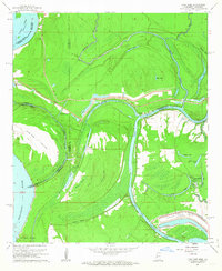
1962 · Long Lake
USGS Topo · 1:24,000