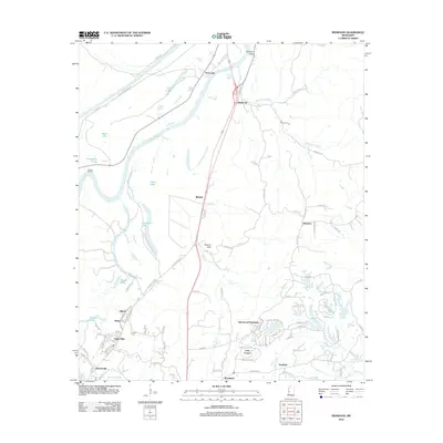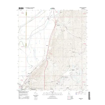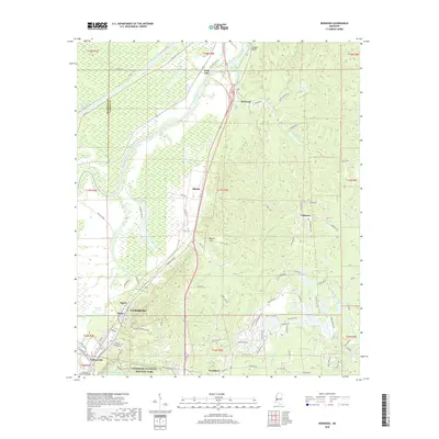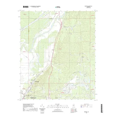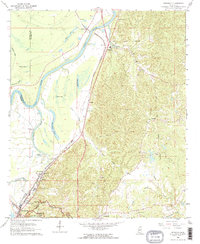
1962 Map of Redwood
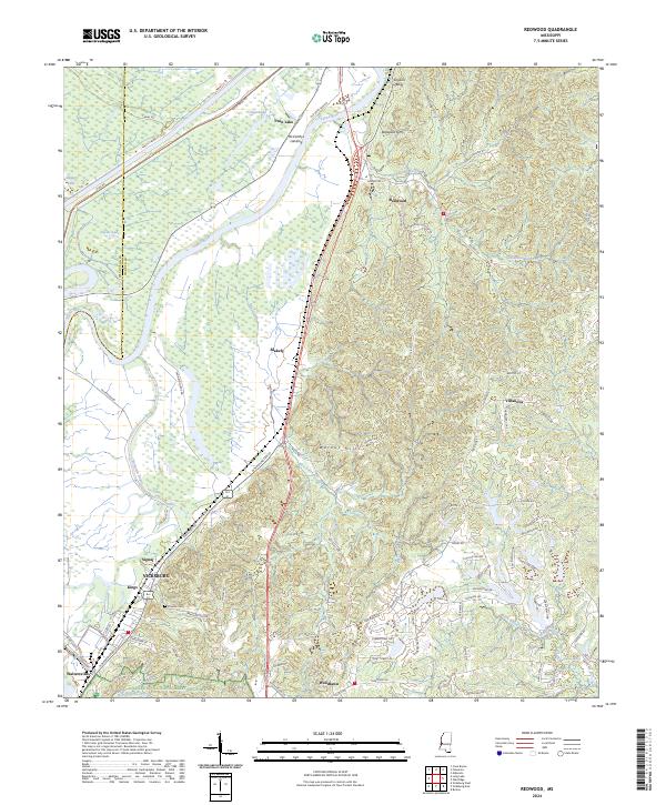
USGS Topo · Published 1968About this map
The Yazoo River defines the western edge of this landscape, where the alluvial plain meets the rising bluffs of Warren County. Along these heights, the Site of Fort St Peter overlooks the valley, marking a historic defensive position near the settlement of Redwood. The map clearly delineates the Indian Treaty Boundary, a significant line of demarcation cutting across the terrain north of Skilikatia. This survey captures a mix of river-bottom geography, characterized by numerous oxbow features like Horseshoe Lake and Goose Lake, and the more developed corridors following the Illinois Central railroad.
Find a feature on this map
44 named features on this map. Tap any name to fly to it.
Don’t see what you’re looking for? This feature index may not catch every label — zoom into the map to look around manually.
Map Details
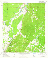
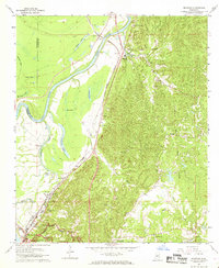
Editions of this 1962 Redwood Map
3 editions found
Historical Maps of Vicksburg Through Time
6 maps found