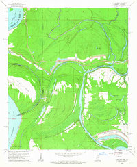
1962 Map of Long Lake
USGS Topo · Published 1963About this map
Paw Paw Island and the meandering Mississippi River dominate this early 1960s landscape at the intersection of Warren and Issaquena counties. The terrain is defined by complex fluvial processes, featuring numerous oxbow lakes such as Long Lake, Eagle Lake, and Moon Lake that trace the historical migration of the riverbed. A significant engineering effort is visible in the lower right, where the Vicksburg Industrial Harbor and the Vicksburg Railroad Project are taking shape alongside the Diversion Canal.
Find a feature on this map
42 named features on this map. Tap any name to fly to it.
Don’t see what you’re looking for? This feature index may not catch every label — zoom into the map to look around manually.
Map Details
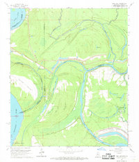
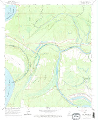
Editions of this 1962 Long Lake Map
3 editions found
Other maps of this area

1909 · Millikens Bend
USGS Topo · 1:24,000

1909 · Mound
USGS Topo · 1:24,000

1910 · Mound
USGS Topo · 1:31,680

1918 · Vicksburg
USGS Topo · 1:62,500

1939 · Onward
USGS Topo · 1:62,500

1939 · Talla Bena
USGS Topo · 1:62,500

1939 · Alsatia
USGS Topo · 1:62,500

1941 · Vicksburg
USGS Topo · 1:62,500

1955 · Jackson
USGS Topo · 1:250,000

1961 · Jackson
USGS Topo · 1:250,000