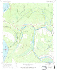
1962 Map of Long Lake
USGS Topo · Published 1969About this map
The Yazoo River and its complex network of oxbows and bayous dominate this delta landscape along the border of Mississippi and Louisiana. In the early 1960s, the region was undergoing significant infrastructure development, evidenced by the Vicksburg Industrial Harbor and an adjacent Railroad Project near the Diversion Canal. This transformation contrasts with the traditional river economy shown by several Ferries crossing the Yazoo near Pilgrims Rest Ch. The shifting course of the Mississippi River is documented through features like Paw Paw Island and the Paw Paw Chute, which reflect the dynamic hydrology of the parish and county lines. Local history is anchored by rural landmarks such as Pleasant Valley Ch and small settlements like Halpino Lake, while the interior is filled with numerous water bodies including Taylor Lake, Alligator Lake, and Long Lake.
Find a feature on this map
43 named features on this map. Tap any name to fly to it.
Don’t see what you’re looking for? This feature index may not catch every label — zoom into the map to look around manually.
Map Details
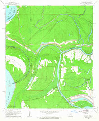
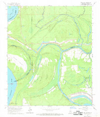
Editions of this 1962 Long Lake Map
3 editions found
Other maps of this area

1909 · Millikens Bend
USGS Topo · 1:24,000

1909 · Mound
USGS Topo · 1:24,000

1910 · Mound
USGS Topo · 1:31,680

1918 · Vicksburg
USGS Topo · 1:62,500

1939 · Onward
USGS Topo · 1:62,500

1939 · Talla Bena
USGS Topo · 1:62,500

1939 · Alsatia
USGS Topo · 1:62,500

1941 · Vicksburg
USGS Topo · 1:62,500

1955 · Jackson
USGS Topo · 1:250,000

1961 · Jackson
USGS Topo · 1:250,000