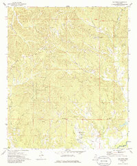
1972 Map of Oak Ridge
USGS Topo · Published 1986About this map
The community of Oak Ridge sits atop the dissected plateau of Warren County, where the landscape is defined by the sharp transition from wooded ridges to the winding bottomlands of the Big Black River. In the early 1970s, this area maintained a deeply rural character, anchored by small settlements like Flowers and Rawhide. The map reveals a dense network of family-named landmarks and resting places, including Neely Cem, Parker Cem, and Brickhouse Cem, which serve as vital markers for local genealogical research.
Find a feature on this map
33 named features on this map. Tap any name to fly to it.
Don’t see what you’re looking for? This feature index may not catch every label — zoom into the map to look around manually.
Map Details
Editions of this 1972 Oak Ridge Map
2 editions found
Other maps of this area

1918 · Vicksburg
USGS Topo · 1:62,500

1938 · Edwards
USGS Topo · 1:62,500

1939 · Onward
USGS Topo · 1:62,500

1940 · Mechanicsburg
USGS Topo · 1:62,500

1941 · Vicksburg
USGS Topo · 1:62,500

1955 · Jackson
USGS Topo · 1:250,000

1961 · Jackson
USGS Topo · 1:250,000

1962 · Jackson
USGS Topo · 1:250,000

1962 · Redwood
USGS Topo · 1:24,000

1962 · Vicksburg East
USGS Topo · 1:24,000