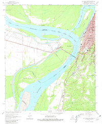
1962 Map of Vicksburg West
USGS Topo · Published 1981About this map
Vicksburg and its intricate riverfront define this 1962 landscape, where the Mississippi River creates a complex boundary between Warren County and Madison Parish. The map documents the city's urban grid, extending from Glass Bayou south toward Hatcher Bayou, with significant institutions like All Saints College and Cooper High Sch positioned near the historic Vicksburg National Military Park.
Find a feature on this map
53 named features on this map. Tap any name to fly to it.
Don’t see what you’re looking for? This feature index may not catch every label — zoom into the map to look around manually.
Map Details
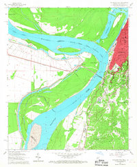
Editions of this 1962 Vicksburg West Map
3 editions found

Other maps of this area

1909 · Millikens Bend
USGS Topo · 1:24,000

1909 · Mound
USGS Topo · 1:24,000

1910 · Mound
USGS Topo · 1:31,680

1918 · Vicksburg
USGS Topo · 1:62,500

1939 · Talla Bena
USGS Topo · 1:62,500

1939 · Yokena
USGS Topo · 1:62,500

1941 · Vicksburg
USGS Topo · 1:62,500

1955 · Jackson
USGS Topo · 1:250,000

1961 · Jackson
USGS Topo · 1:250,000

1962 · Jackson
USGS Topo · 1:250,000