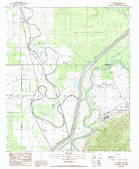
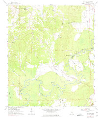
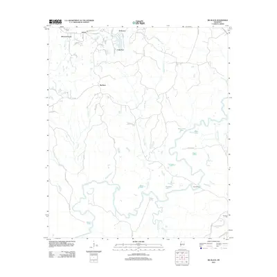
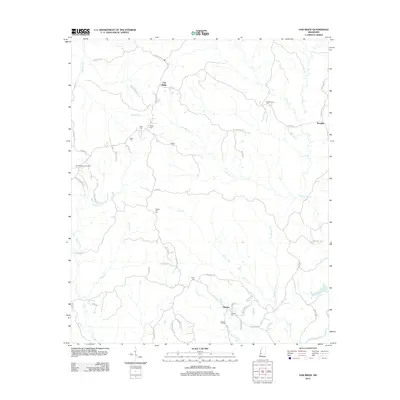
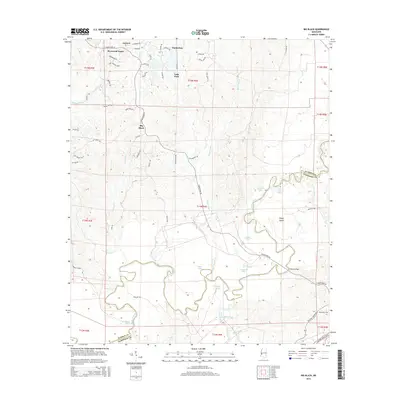
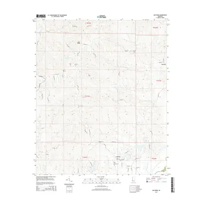
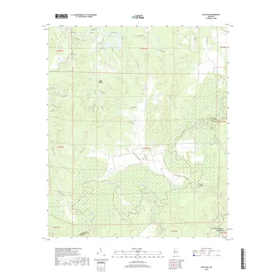
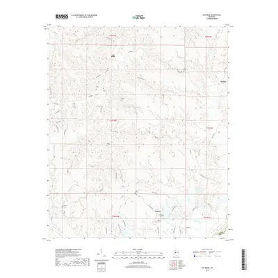
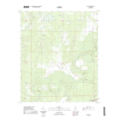
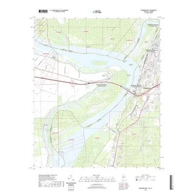
1988 Map of Floweree
USGS Topo · Published 1988About this map
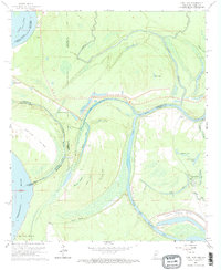
Delta National Forest dominates the northern reaches of this landscape, where the alluvial plain meets a network of meandering waterways. The Yazoo River and Deer Creek carve deep, sinuous loops through the terrain, creating numerous oxbow lakes such as Miller Lake, Hardee Lake, and Panther Lake. This intricate drainage pattern defined the settlement of the region, as evidenced by small communities like Floweree and Hardee positioned along the creek banks and rail lines.
Find a feature on this map
23 named features on this map. Tap any name to fly to it.
Don’t see what you’re looking for? This feature index may not catch every label — zoom into the map to look around manually.
Map Details
Editions of this 1988 Floweree Map
This is the sole edition of this map. No revisions or reprints were ever made.
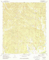
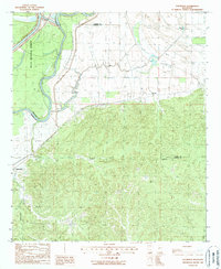
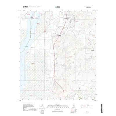
Historical Maps of Hardee Through Time
49 maps found
1962 Long Lake
Warren County, MS
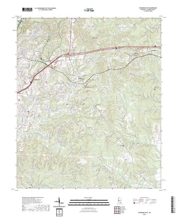
1962 Vicksburg East
Warren County, MS
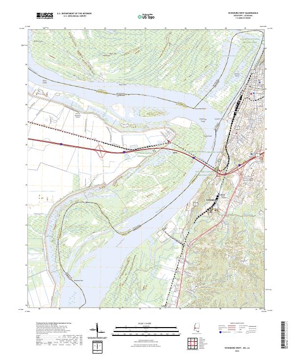
1962 Vicksburg West
Warren County, MS
1963 Big Black
Warren County, MS

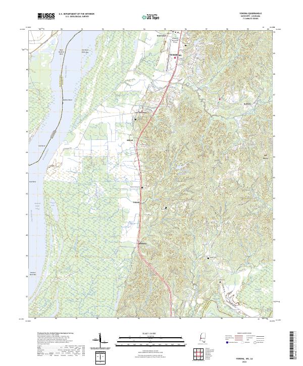
1963 Yokena
Warren County, MS
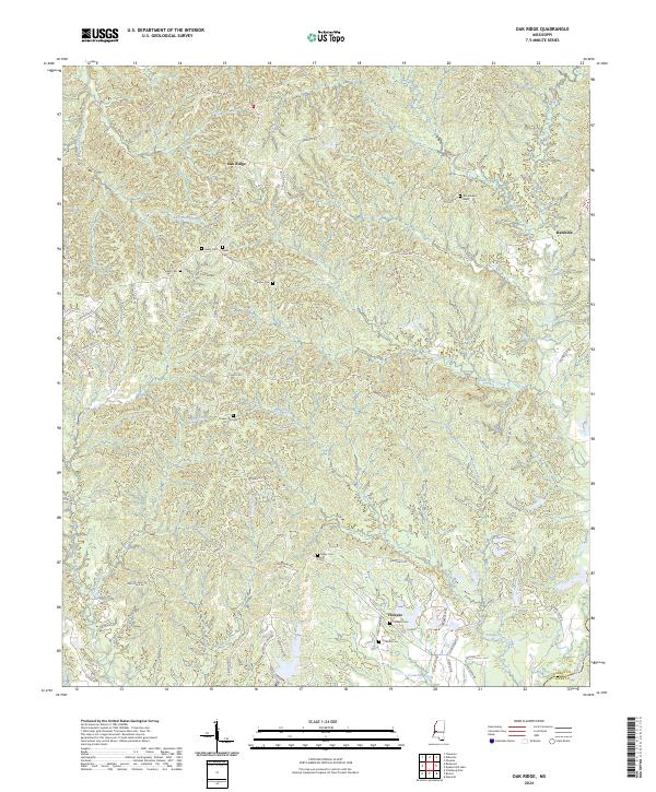
1972 Oak Ridge
Warren County, MS
1988 Eldorado
Warren County, MS
1988 Floweree
Warren County, MS
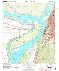
1998 Vicksburg West
Warren County, MS
2012 Big Black
Warren County, MS
2012 Eldorado
Warren County, MS
2012 Floweree
Warren County, MS
2012 Long Lake
Warren County, MS
2012 Oak Ridge
Warren County, MS
2012 Vicksburg East
Warren County, MS
2012 Vicksburg West
Warren County, MS
2012 Yokena
Warren County, MS
2015 Big Black
Warren County, MS
2015 Eldorado
Warren County, MS
2015 Floweree
Warren County, MS
2015 Long Lake
Warren County, MS
2015 Oak Ridge
Warren County, MS
2015 Vicksburg East
Warren County, MS
2015 Vicksburg West
Warren County, MS
2015 Yokena
Warren County, MS
2018 Big Black
Warren County, MS
2018 Eldorado
Warren County, MS
2018 Floweree
Warren County, MS
2018 Long Lake
Warren County, MS
2018 Oak Ridge
Warren County, MS
2018 Vicksburg East
Warren County, MS
2018 Vicksburg West
Warren County, MS
2018 Yokena
Warren County, MS
2020 Big Black
Warren County, MS
2020 Long Lake
Warren County, MS
2020 Oak Ridge
Warren County, MS
2020 Vicksburg East
Warren County, MS
2020 Vicksburg West
Warren County, MS
2020 Yokena
Warren County, MS
2021 Eldorado
Warren County, MS
2021 Floweree
Warren County, MS
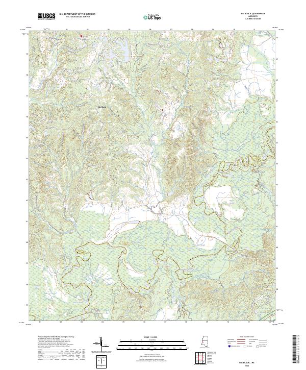
2024 Big Black
Warren County, MS
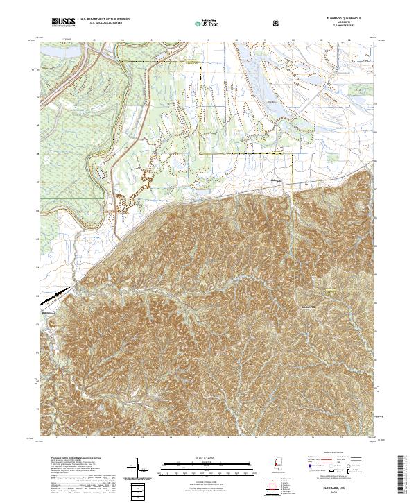
2024 Eldorado
Warren County, MS
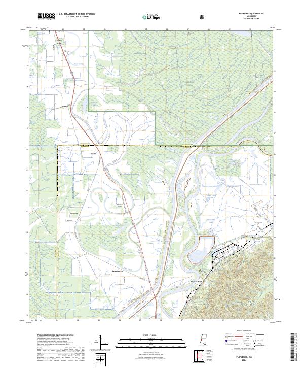
2024 Floweree
Warren County, MS
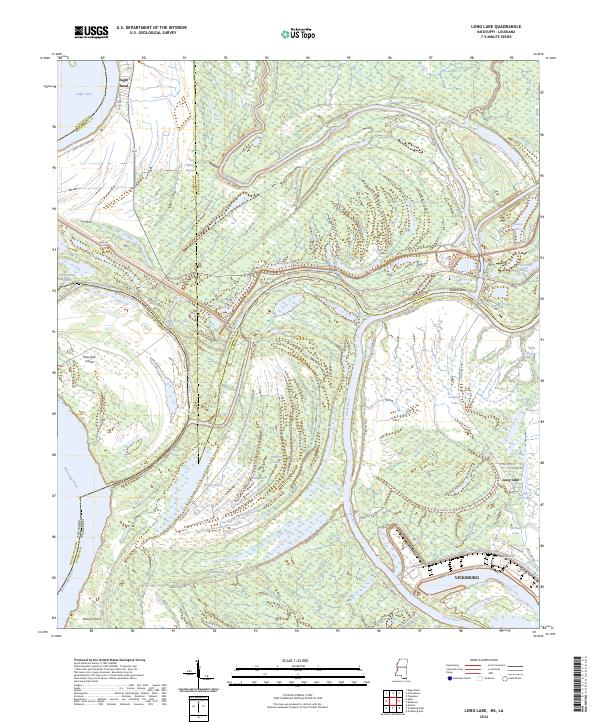
2024 Long Lake
Warren County, MS
2024 Oak Ridge
Warren County, MS
2024 Vicksburg East
Warren County, MS
2024 Vicksburg West
Warren County, MS
2024 Yokena
Warren County, MS