
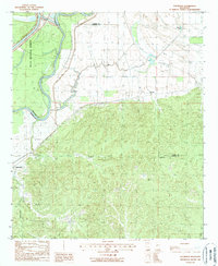
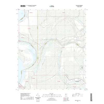
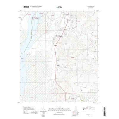
1963 Map of Yokena
USGS Topo · Published 1982About this map
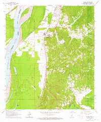
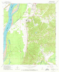
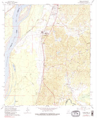
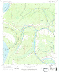
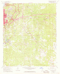
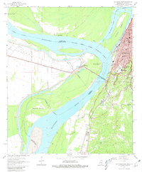
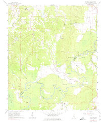
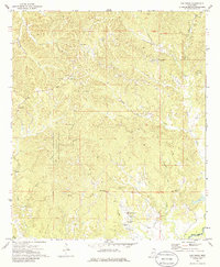
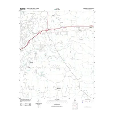
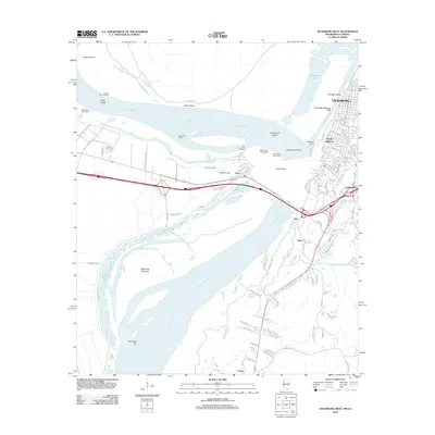
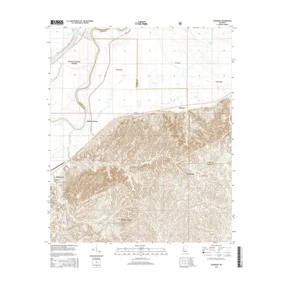
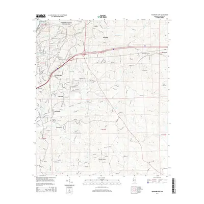
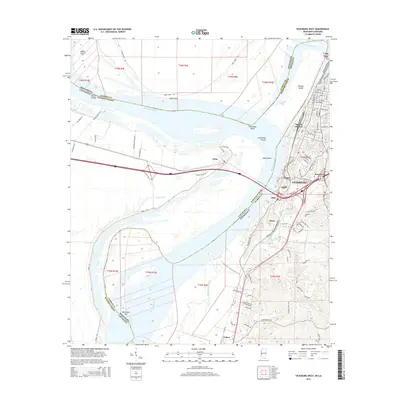
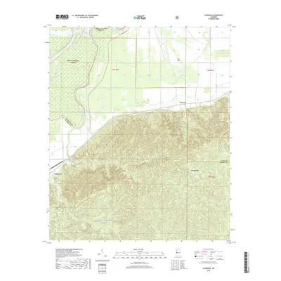
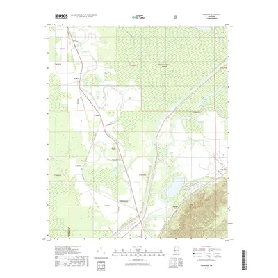
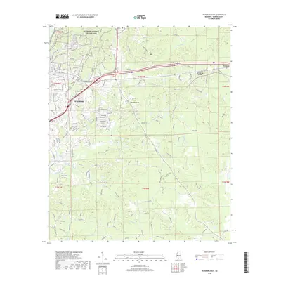
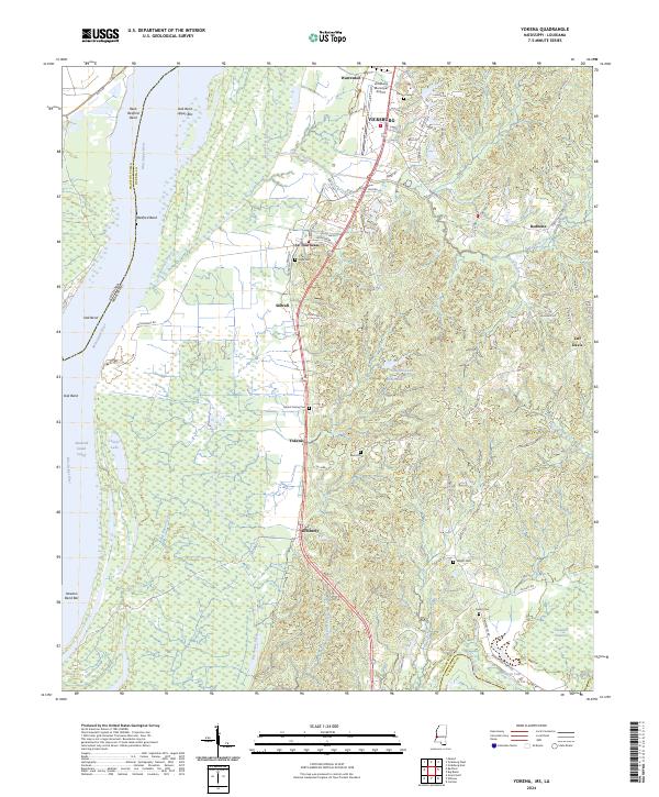
The Illinois Central railroad corridor serves as the industrial and transit spine of this Warren County landscape, connecting riverside settlements like Warrenton and Le Tourneau (Glass) to the broader Mississippi valley. Situated just south of Vicksburg, the area is defined by the complex hydrology of the Mississippi River and the meandering Big Black River, which forms the southern boundary with Claiborne County. The terrain transitions from the low alluvial plains of Big Bogue Desha and Campbell Swamp to the upland ridges where the Jeff Davis Lookout Tower stands.
Find a feature on this map
42 named features on this map. Tap any name to fly to it.
Don’t see what you’re looking for? This feature index may not catch every label — zoom into the map to look around manually.
Map Details
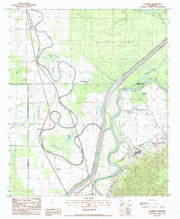
Editions of this 1963 Yokena Map
4 editions found
Historical Maps of Vicksburg Through Time
49 maps found
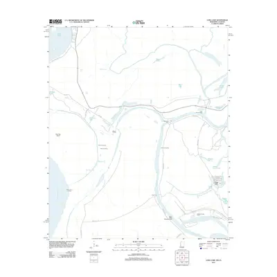
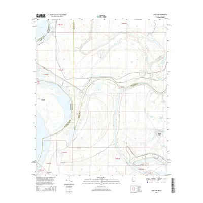
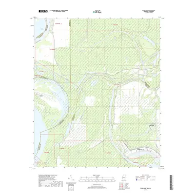
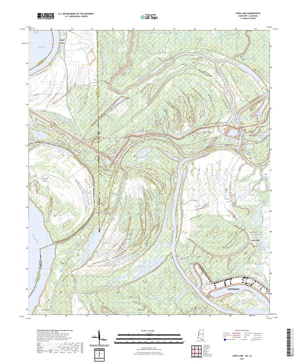
1962 Long Lake
Warren County, MS
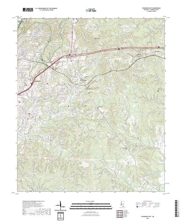
1962 Vicksburg East
Warren County, MS
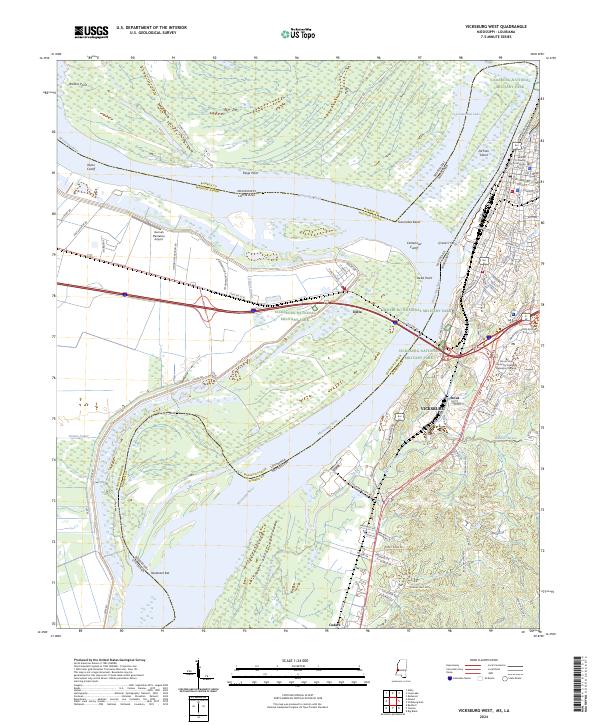
1962 Vicksburg West
Warren County, MS
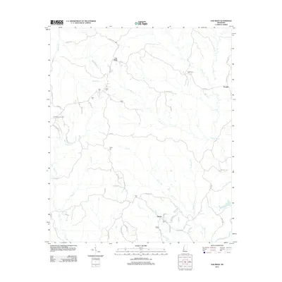
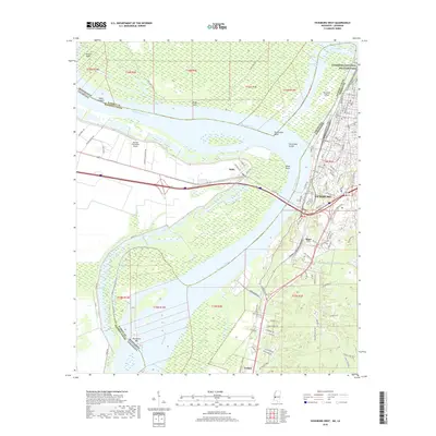
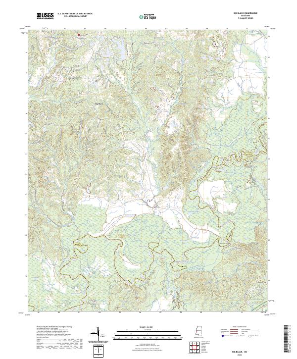
1963 Big Black
Warren County, MS
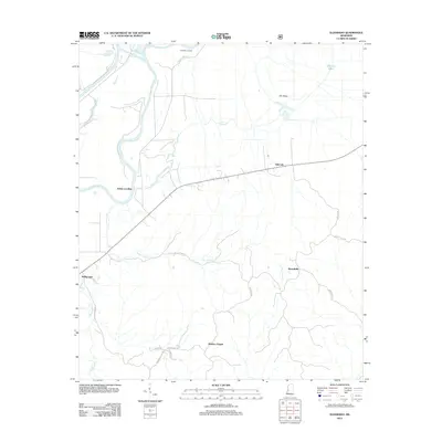
1963 Yokena
Warren County, MS
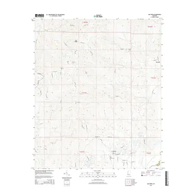
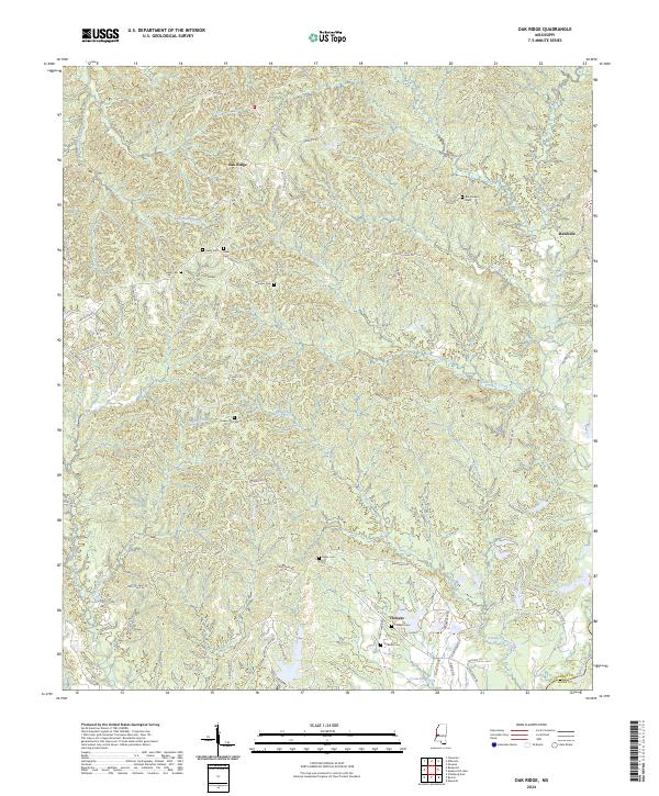
1972 Oak Ridge
Warren County, MS
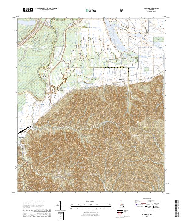
1988 Eldorado
Warren County, MS
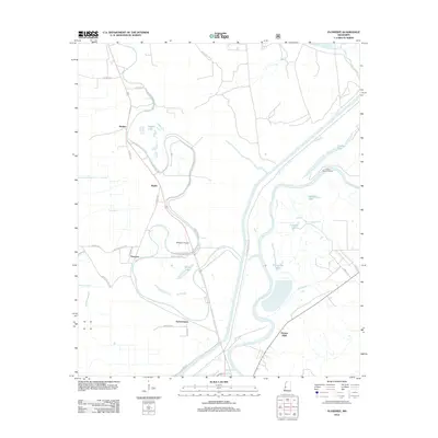
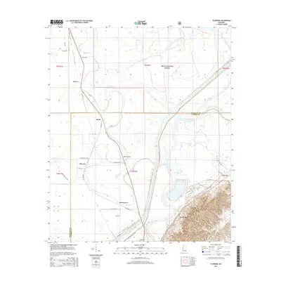
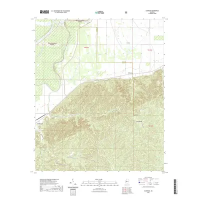
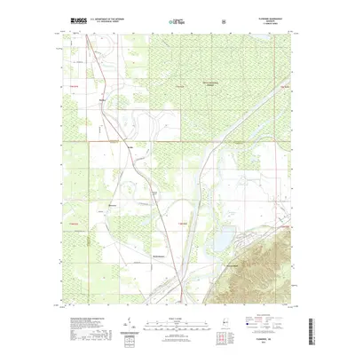
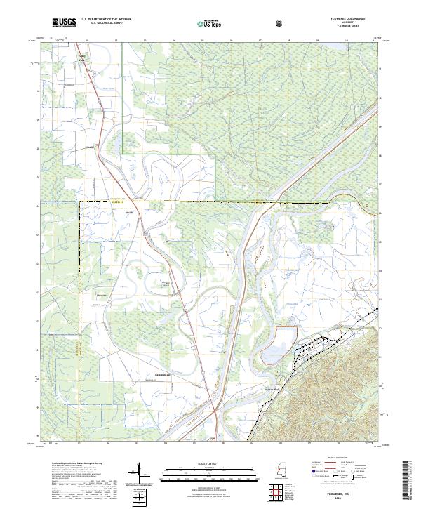
1988 Floweree
Warren County, MS
1998 Vicksburg West
Warren County, MS
2012 Big Black
Warren County, MS
2012 Eldorado
Warren County, MS
2012 Floweree
Warren County, MS
2012 Long Lake
Warren County, MS
2012 Oak Ridge
Warren County, MS
2012 Vicksburg East
Warren County, MS
2012 Vicksburg West
Warren County, MS
2012 Yokena
Warren County, MS
2015 Big Black
Warren County, MS
2015 Eldorado
Warren County, MS
2015 Floweree
Warren County, MS
2015 Long Lake
Warren County, MS
2015 Oak Ridge
Warren County, MS
2015 Vicksburg East
Warren County, MS
2015 Vicksburg West
Warren County, MS
2015 Yokena
Warren County, MS
2018 Big Black
Warren County, MS
2018 Eldorado
Warren County, MS
2018 Floweree
Warren County, MS
2018 Long Lake
Warren County, MS
2018 Oak Ridge
Warren County, MS
2018 Vicksburg East
Warren County, MS
2018 Vicksburg West
Warren County, MS
2018 Yokena
Warren County, MS
2020 Big Black
Warren County, MS
2020 Long Lake
Warren County, MS
2020 Oak Ridge
Warren County, MS
2020 Vicksburg East
Warren County, MS
2020 Vicksburg West
Warren County, MS
2020 Yokena
Warren County, MS
2021 Eldorado
Warren County, MS
2021 Floweree
Warren County, MS
2024 Big Black
Warren County, MS
2024 Eldorado
Warren County, MS
2024 Floweree
Warren County, MS
2024 Long Lake
Warren County, MS
2024 Oak Ridge
Warren County, MS
2024 Vicksburg East
Warren County, MS
2024 Vicksburg West
Warren County, MS
2024 Yokena
Warren County, MS