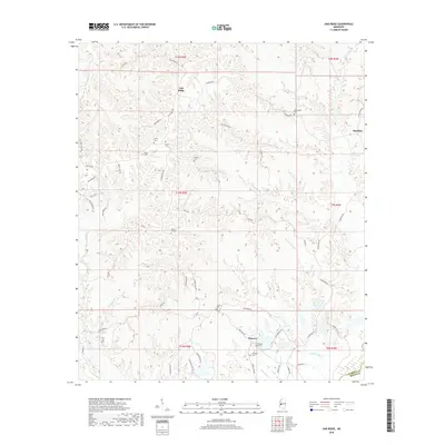
2018 Map of Oak Ridge
USGS Topo · Published 2018About this map
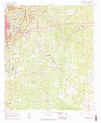
The ridge-and-hollow terrain of Warren and Hinds Counties comes into focus in this modern survey of the region northeast of Vicksburg. Small settlements like Oak Ridge and Flowers anchor a landscape defined by an intricate network of narrow creek valleys, including Ballground Creek and Clear Creek. The geography here is historically dictated by these watercourses, which separate the high ridges where most homes and early roads were established.
Find a feature on this map
56 named features on this map. Tap any name to fly to it.
Don’t see what you’re looking for? This feature index may not catch every label — zoom into the map to look around manually.
Map Details
Editions of this 2018 Oak Ridge Map
This is the sole edition of this map. No revisions or reprints were ever made.
Other maps of this area
1918 · Vicksburg
USGS Topo · 1:62,500
1938 · Edwards
USGS Topo · 1:62,500
1939 · Onward
USGS Topo · 1:62,500
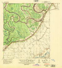
1940 · Mechanicsburg
USGS Topo · 1:62,500
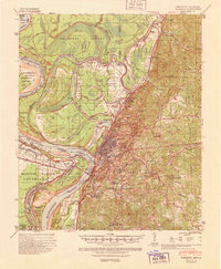
1941 · Vicksburg
USGS Topo · 1:62,500

1955 · Jackson
USGS Topo · 1:250,000

1961 · Jackson
USGS Topo · 1:250,000
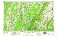
1962 · Jackson
USGS Topo · 1:250,000
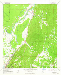
1962 · Redwood
USGS Topo · 1:24,000
1962 · Vicksburg East
USGS Topo · 1:24,000