Old Maps of Louisville, Mississippi for Academic Research
Study the evolution of Louisville with 18 high-resolution historic maps. Whether you're teaching, researching, or modeling changes in land use, these maps provide essential visual documentation of urban, environmental, and geographic change.
- Analyze long-term change: Track patterns in development, transportation, and natural features.
- Ideal for environmental or urban studies: Support academic projects with primary historical map data.
- Use in the classroom or lab: Educators and researchers rely on these maps to bring historical context to life.
These maps are a powerful tool for teaching, research, and visualizing how Louisville has changed over the decades.
Louisville, MS maps
(18)- 1953 Map of West Point, 1973 Print
 1953 West Point1973 Print · USGSNorth-Central Mississippi and the Alabama borderlands are captured here during the mid-twentieth century as new reservoirs and national forests transformed the landscape. Researchers can trace the path of the Mississippi & Skuna Valley railroad or locate old landings along the Tombigbee River and Schooner Creek.3 unique versions available
 - 1958 Map of West Point
 1958 West Point1958 Print · USGSNortheastern Mississippi and western Alabama are shown in the late 1950s, highlighting a region defined by its river-and-rail economy. Researchers can trace family roots through numerous settlements like Artesia and Vardaman or explore the corridor of the Tombigbee River.
 - 1963 Map of West Point
 1963 West Point1963 Print · USGSEastern Mississippi and western Alabama are captured in the early sixties as industrial centers and rail lines connected the Black Prairie to the hills. Genealogists and historians can trace family-named watercourses and the early footprints of Starkville, Columbus, and the Noxubee National Wildlife Refuge.2 unique versions available
 - 1972 Map of Louisville North, 1973 Print
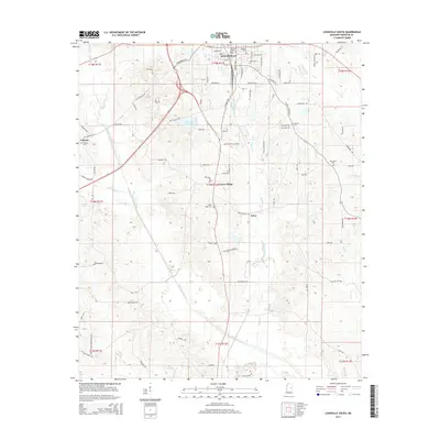
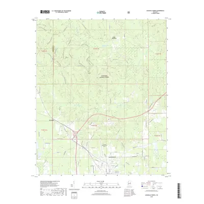
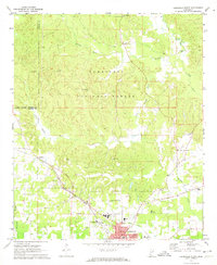 1972 Louisville North1973 Print · USGSWinston County in the early 1970s shows a landscape balancing the Tombigbee National Forest with the industrial growth of Louisville. Trace family history at Noxubee Hill Cem or locate rural landmarks like Poplar Flat Ch and the McMillan settlement.2 unique versions available
 - 1972 Map of Louisville South, 1973 Print
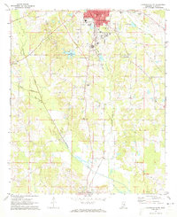 1972 Louisville South1973 Print · USGSWinston County enters the 1970s as a landscape of established rail towns and rural church communities. Genealogists and local historians can trace family sites at Macedonia Cem and Johnson Cem, or locate landmarks like the Drive-in Theater and Eates.2 unique versions available
 - 1984 Map of Kosciusko
 1984 Kosciusko1984 Print · USGSCentral Mississippi in the mid-eighties shows a landscape of timberlands and rural crossroads anchored by Kosciusko. Genealogists can trace family roots through numerous country parishes like Bethany Ch and Zion Ch or the path of the Illinois Central Gulf railroad.3 unique versions available
 - 1984 Map of West Point
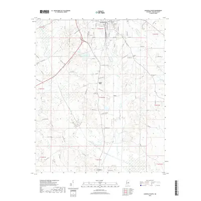
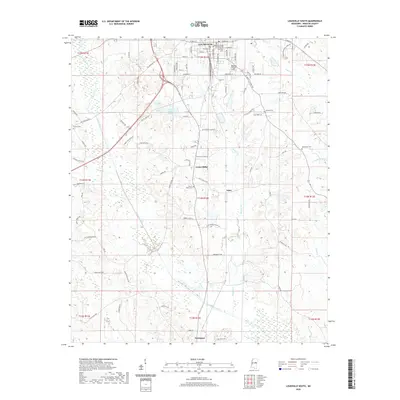
 1984 West Point1984 Print · USGSNorth-Central Mississippi in the mid-eighties shows a landscape defined by massive water management projects and dense timberlands. Researchers can trace the legacy of rural settlements like Geeslin Corner or the rail corridors of the Illinois Central Gulf RR near Grenada Lake.3 unique versions available
 - 2000 Map of Louisville North, 2002 Print
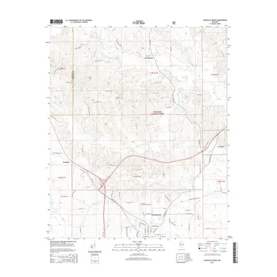
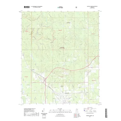
 2000 Louisville North2002 Print · USGSWinston County and the northern outskirts of Louisville are seen here at the turn of the century. Genealogists and local historians can trace rural community centers like Gum Springs and numerous landmarks including Union Chapel Cem and Poplar Flat Ch.
 - 2012 Map of Louisville South, 2012 Print
 2012 Louisville South2012 Print · USGSCovers Louisville, including Noxapater, Center Ridge, and other nearby areas
 - 2012 Map of Louisville North, 2012 Print
 2012 Louisville North2012 Print · USGSCovers Louisville, including Evergreen, Gum Springs, and other nearby areas
 - 2015 Map of Louisville North, 2015 Print
 2015 Louisville North2015 Print · USGSCovers Louisville, including Evergreen, Gum Springs, and other nearby areas
 - 2015 Map of Louisville South, 2015 Print
 2015 Louisville South2015 Print · USGSCovers Louisville, including Noxapater, Center Ridge, and other nearby areas
 - 2018 Map of Louisville North, 2018 Print
 2018 Louisville North2018 Print · USGSCovers Louisville, including Evergreen, Gum Springs, and other nearby areas
 - 2018 Map of Louisville South, 2018 Print
 2018 Louisville South2018 Print · USGSCovers Louisville, including Noxapater, Center Ridge, and other nearby areas
 - 2020 Map of Louisville South, 2020 Print
 2020 Louisville South2020 Print · USGSCovers Louisville, including Noxapater, Center Ridge, and other nearby areas
 - 2021 Map of Louisville North, 2021 Print
 2021 Louisville North2021 Print · USGSCovers Louisville, including Evergreen, Gum Springs, and other nearby areas
 - 2024 Map of Louisville South, 2024 Print
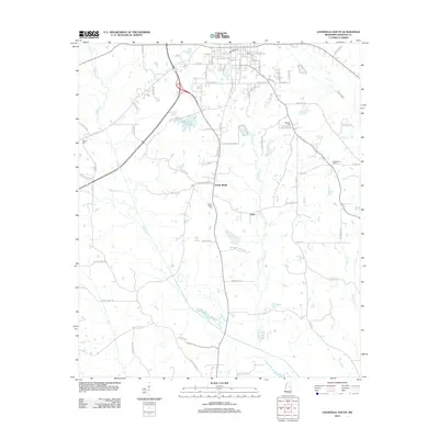
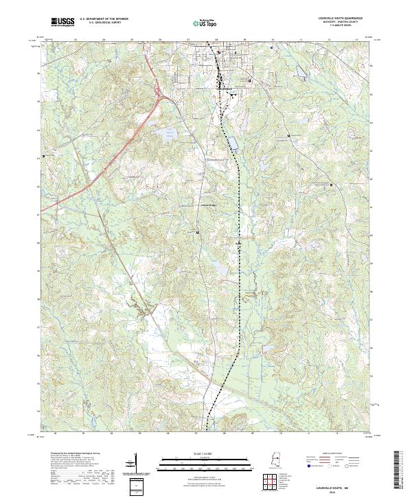 2024 Louisville South2024 Print · USGSWinston County, Mississippi, is mapped here in its modern form, showing the southern reach of the county seat as it gives way to rural timberland. Genealogists can locate several local burial grounds including Flower Ridge Cem, Masonic Cem, and the Johnson Cem.
 - 2024 Map of Louisville North, 2024 Print
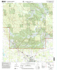
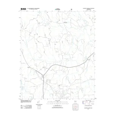
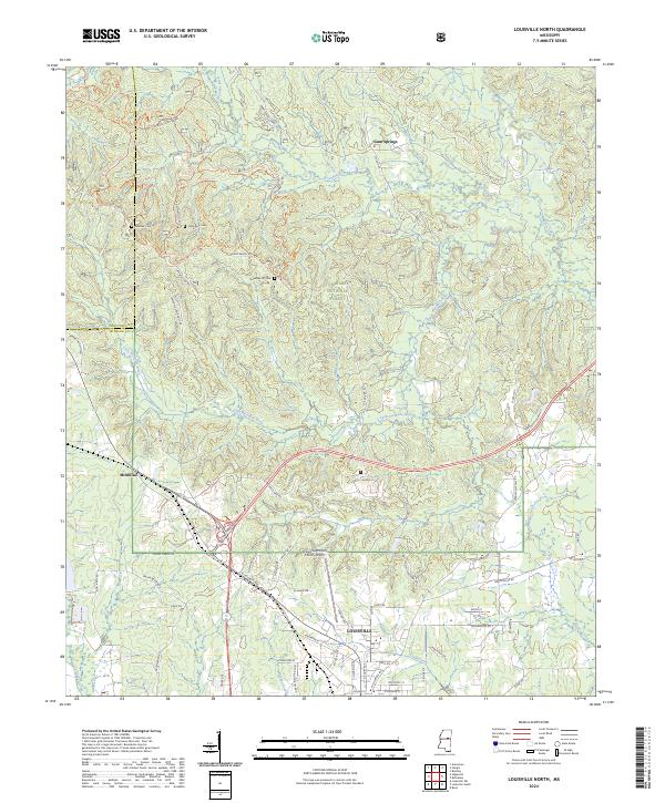 2024 Louisville North2024 Print · USGSNorthern Winston County appears here in the contemporary era, showing the transition from the city of Louisville into the dense Tombigbee National Forest. Researchers can locate family landmarks like Little Rock Cem, Noxubee Hill Cem, and the rural community of McMillan.
End of results
Showing maps 1-18 of 18
Top cities near Louisville
Frequently asked questions
- What are the different types of historical maps available for Louisville?
- What is the oldest map of Louisville?
- Where can I purchase historical maps of Louisville for my home or office?
- Where can I download high-res historical maps of Louisville?
- Are there historical topographic maps available for Louisville?
- Is there historical aerial imagery available for Louisville?
- Where are historical maps of Louisville sourced from?