Old Maps of Adair County, Missouri for Metal Detecting
Plan your next treasure hunt with 90 historic maps of Adair County. Find old homesites, ghost towns, trails, and gathering spots that may be lost to time — perfect for identifying promising metal detecting locations.
- Locate forgotten sites: Uncover places like long-lost settlements, abandoned rail lines, or gathering spots.
- Plan better hunts: Use map overlays combined with LiDAR or satellite views to narrow in on historically rich areas.
- Made for detectorists: Thousands of hobbyists use these maps to discover relics, coins, and hidden history.
Use these historic maps to boost your research and find new opportunities beneath the surface of Adair County.
Adair County, MO maps
(90)- 1903 Map of Edina
 1903 Edina1903 Print · USGSNortheast Missouri at the turn of the century shows a bustling landscape of rail-fed market towns and river valley townships. Researchers can trace the path of the Santa Fe Railroad through Baring or locate early settlements like Pleasant Retreat and Bible Grove.2 unique versions available
 - 1911 Map of Queen City, 1971 Print
 1911 Queen City1971 Print · USGSSchuyler and Adair counties thrive as a rural railway crossroads during the early 1900s. Researchers can locate dozens of country schoolhouses like Patterson School and trace the paths of the Wabash RR through Queen City or the Iowa and St Louis RR near Connelsville.
 - 1912 Map of Green City, 1968 Print
 1912 Green City1968 Print · USGSNorthern Missouri at the dawn of the twentieth century reveals a landscape shaped by rural education and early rail lines. Local historians can trace dozens of country schools like Boon Hill School and vanished stops along the Quincy Omaha and Kansas City railroad.
 - 1913 Map of Queen City
 1913 Queen City1913 Print · USGSSchuyler and Adair counties appear in this pre-war survey as a bustling network of small farming townships and rural school districts. Researchers can trace family roots through dozens of local sites like Queen City, New Hope School, and the river crossing at Slate Ford.2 unique versions available
 - 1914 Map of Green City
 1914 Green City1914 Print · USGSNorth-central Missouri thrived as a patchwork of small townships and family farms during the early twentieth century. Genealogists can trace rural life through dozens of local landmarks like Unionville, Shibley Point School, and the Kansas City and Omaha rail line.2 unique versions available
 - 1938 Map of Kirksville
 1938 Kirksville1938 Print · USGSAdair and Macon Counties are captured here in the late 1930s, showing a landscape defined by the Chariton River and a dense network of rural schools. Trace family roots at the Grosse P.O. or through numerous landmarks like Sloans Point Sch and Novinger Cem.2 unique versions available
 - 1940 Map of Kirksville
 1940 Kirksville1940 Print · USGSAdair County and the city of Kirksville are captured just before the 1940s, showing a landscape defined by crossing railroads and numerous small townships. Genealogists can locate dozens of rural landmarks, from Union Temple Ch to long-gone schoolhouses like Troy Mills Sch and Danforth Sch.
 - 1954 Map of Centerville, 1967 Print
 1954 Centerville1967 Print · USGSThe Iowa-Missouri borderlands at mid-century reveal a landscape shaped by river valleys and the height of the regional rail network. Genealogists and historians can trace the paths of the Wabash railroad and locate old townsites like Mystic, Moulton, and Greentop.3 unique versions available
 - 1957 Map of Centerville
 1957 Centerville1957 Print · USGSThe Iowa-Missouri borderlands in the mid-fifties reveal a landscape of river-valley agriculture and vital rail corridors. Genealogists and historians can trace family-named landmarks and small-town growth in Centerville, Kirksville, and along the Wabash railroad line.
 - 1958 Map of Centerville
 1958 Centerville1958 Print · USGSThe Iowa-Missouri borderlands come into focus during the mid-fifties, showing a landscape defined by river valleys and intersecting rail lines. Genealogists and local historians can trace family roots through dozens of rural hubs like Bloomfield, Unionville, and Corydon.
 - 1963 Map of Pure Air, 1964 Print
 1963 Pure Air1964 Print · USGSAdair and Sullivan County farmland is captured here in the early sixties, showing the rural crossroads and drainage basins of the Missouri interior. Researchers can trace family roots at Ringo Point Cem and Pure Air, or follow the banks of Spring Creek.
 - 1963 Map of Nind, 1965 Print
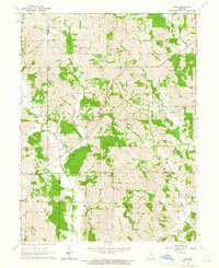 1963 Nind1965 Print · USGSNorth central Missouri agriculture and small-town life are documented here during the early sixties. Genealogists can locate family landmarks like Hall Cem, Mt Carmel Ch, and the rural Willow Branch Sch near the county lines.
 - 1965 Map of Locust Hill, 1967 Print
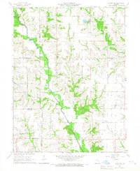 1965 Locust Hill1967 Print · USGSNortheast Missouri farmland meets the winding North Fork Salt River in this mid-sixties survey of the Knox County border. Genealogists and local historians can trace family ties at Locust Hill Cem or follow the path of the Old Railroad Grade.
 - 1966 Map of Brashear, 1967 Print
 1966 Brashear1967 Print · USGSEastern Adair County comes alive in the mid-sixties, showing a landscape defined by the railroad and the many forks of the Salt River. Genealogists can trace family roots through East Center Ch, Sabbath Home Ch, and the small settlements of Bullion and Clay.
 - 1966 Map of Bible Grove, 1967 Print
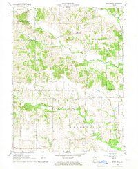 1966 Bible Grove1967 Print · USGSNortheast Missouri farm country is captured here in the mid-sixties at the junction of Scotland, Adair, and Knox Counties. Genealogists and local historians can trace the rural landscape around Bible Grove, Adair, and the Pleasant Ridge Ch.
 - 1966 Map of Hurdland, 1967 Print
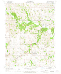 1966 Hurdland1967 Print · USGSThe rail-driven landscape of Adair and Knox counties is preserved here in the mid-sixties, centered on the crossing of two major Midwestern lines. Genealogists and rail historians can trace the paths of the Atchison Topeka and Santa Fe through Hurdland and locate the Paultown Cem near the Salt River.
 - 1966 Map of Willmathsville, 1967 Print
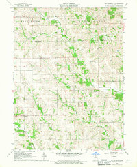 1966 Willmathsville1967 Print · USGSThe rural borders of Adair and Schuyler Counties come to life in the mid-1960s, showing a landscape shaped by the Salt River and its many forks. Researchers can trace family roots at Bethel Ch Cem and Richardson Cem or explore the quiet crossroads of Sperry and Willmathsville.
 - 1966 Map of La Plata, 1967 Print
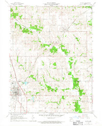 1966 La Plata1967 Print · USGSLa Plata and the surrounding Missouri countryside are captured in the mid-1960s at the height of its dual-railroad era. Researchers can trace the junction of the Atchison Topeka and Santa Fe and Norfolk and Western, alongside local landmarks like Santa Fe Lake and Gibbs Union Cem.
 - 1974 Map of Kirksville NE, 1976 Print
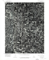 1974 Kirksville NE1976 Print · USGSMissouri's college town of Kirksville is shown in detail during the mid-seventies in this rectified aerial survey. Local historians can trace the exact footprint of residential expansion and agricultural land use as it appeared over forty years ago.
 - 1974 Map of Green City SE, 1976 Print
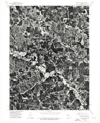 1974 Green City SE1976 Print · USGSCovers Adair County, including Sidney, Greencastle, and other nearby areas
 - 1974 Map of Queen City SE, 1976 Print
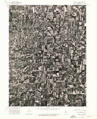 1974 Queen City SE1976 Print · USGSAdair County farmsteads and rural crossroads are captured in this mid-seventies aerial survey of northern Missouri. Genealogists and local historians can trace property lines and the early footprint of Route 63 through settlements like Greentop and Sublette.
 - 1974 Map of Kirksville NW, 1976 Print
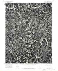 1974 Kirksville NW1976 Print · USGSAdair County farmsteads and river bottoms are captured from the air in the mid-1970s, showing the landscape just as Forest Lake was becoming a local fixture. Trace the exact layout of Novinger and Youngstown along the winding Chariton River.
 - 1979 Map of Novinger
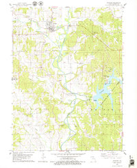 1979 Novinger1979 Print · USGSThe Chariton River valley in the late 1970s shows a landscape of coal mining history and modern recreation. Researchers can trace family roots through Novinger Cem and Mt Moriah Cem or follow the path of the Old Railroad Grade through Danforth.
 - 1979 Map of Millard
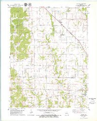 1979 Millard1979 Print · USGSThe borderlands of Adair and Macon counties are captured here in the late seventies, showing a landscape shaped by the Little Chariton River and major rail lines. Researchers can trace family history through sites like Shoemaker Cem or the rural settlement of Millard.
 - 1979 Map of Gifford
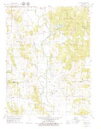 1979 Gifford1979 Print · USGSAdair and Macon Counties in the late seventies show a landscape shaped by coal extraction and the winding Chariton River. Genealogists and historians can locate rural landmarks like Indian Hill Cem, the settlement of Yarrow, and several Strip Mines.2 unique versions available
Showing maps 1-25 of 90
Top cities of Adair County
- Kirksville historical maps
- Novinger historical maps
- Brashear historical maps
- Gibbs historical maps
- Millard historical maps
Frequently asked questions
- What are the different types of historical maps available for Adair County?
- What is the oldest map of Adair County?
- Where can I purchase historical maps of Adair County for my home or office?
- Where can I download high-res historical maps of Adair County?
- Are there historical topographic maps available for Adair County?
- Is there historical aerial imagery available for Adair County?
- Where are historical maps of Adair County sourced from?