2010s Maps of Adair County, Missouri
Explore 45 historic maps of Adair County from the 2010s. These maps offer a rare glimpse into what life looked like during the 2010s — showing old roads, neighborhoods, homes, and landmarks that have changed or disappeared over time.
Whether you're researching your family's past, planning a metal detecting trip, or studying how Adair County's landscape evolved across the 2010s, these high-resolution maps are a powerful tool for exploring the history of this region.
- Focus on a specific era: All maps on this page are from the 2010s, giving you a focused view of this time period.
- See what’s changed: Compare century-old streets, trails, and buildings to today's modern landscape using overlays and satellite layers.
- Research with precision: Use these maps for genealogy, historical research, land use analysis, or educational projects.
- View, download, or print: Maps are fully viewable online in high resolution, and can be downloaded or printed for your own records.
Start exploring Adair County's history through authentic maps from the 2010s. This is your window into the past.
Adair County, MO maps
(45)- 2012 Map of Pure Air, 2012 Print
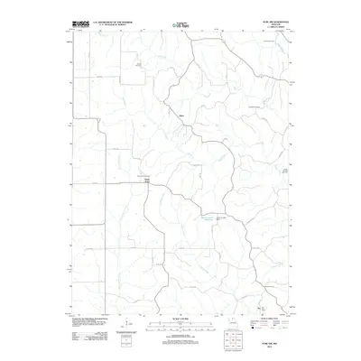 2012 Pure Air2012 Print · USGSAdair County's rural backcountry is documented here during the early twenty-first century, showing a landscape shaped by small-scale mining and agriculture. Genealogists and local historians can trace family ties at Ringo Point Cemetery, the Zig Post Office, and the scattered Mines.
 - 2012 Map of Nind, 2012 Print
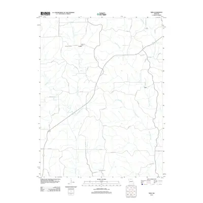 2012 Nind2012 Print · USGSAdair County agricultural life is captured here in the early twenty-first century, showing a landscape shaped by quiet creek valleys. Genealogists and local historians can locate several family burial grounds, including Hall Cemetery and Worley Cemetery, or find the sites of the Loeffler Post Office and Tullivania Post Office.
 - 2012 Map of Willmathsville, 2012 Print
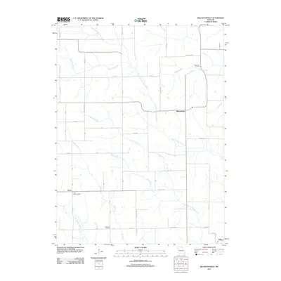 2012 Willmathsville2012 Print · USGSMissouri's agricultural heartland is documented here in the early 2010s, showing the rural communities between the forks of the Fabius River. Researchers can locate the Floyds Creek Post Office and trace local family history at Bridge Creek Cemetery and Richardson Cemetery.
 - 2012 Map of Hurdland, 2012 Print
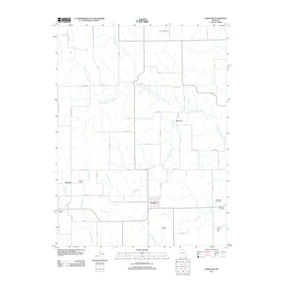 2012 Hurdland2012 Print · USGSNortheast Missouri agriculture and small-town life are preserved here at the start of the 2010s. Researchers can locate family sites near Hurdland or trace local history through Paultown Cemetery and the grounds of Hunziker Airport.
 - 2012 Map of La Plata, 2012 Print
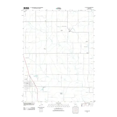 2012 La Plata2012 Print · USGSLa Plata and the Macon County countryside appear in the early 2010s, showing a landscape of established farmsteads and managed water resources. Researchers can locate the Gibbs Union Cemetery and trace the paths of Titus Creek and the Middle Fork Salt River.
 - 2012 Map of Bible Grove, 2012 Print
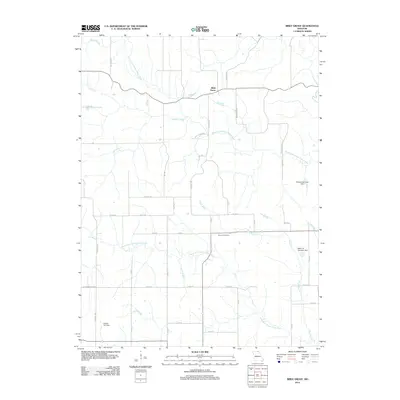 2012 Bible Grove2012 Print · USGSNortheast Missouri’s agricultural landscape is seen here in the early twenty-first century, centered on the rural community of Bible Grove. Researchers can trace old family sites near Slocum Cemetery or locate local landmarks like Swearingen Lake Dam and Old Trail Rd.
 - 2012 Map of Connelsville, 2012 Print
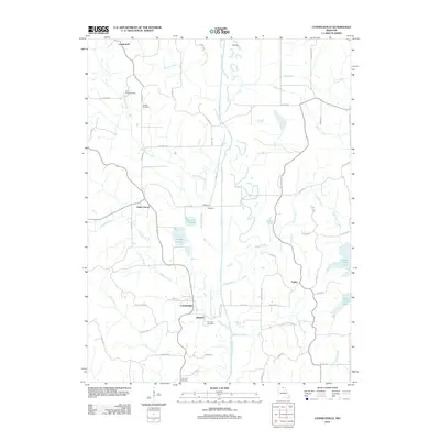 2012 Connelsville2012 Print · USGSAdair and Putnam Counties appear here in the early 2010s, centered on the river valley south of the Iowa border. Family historians can trace rural roots at Cain Ford Cemetery, Hatfield Cemetery, and the historic settlement of Nineveh.
 - 2012 Map of Stahl, 2012 Print
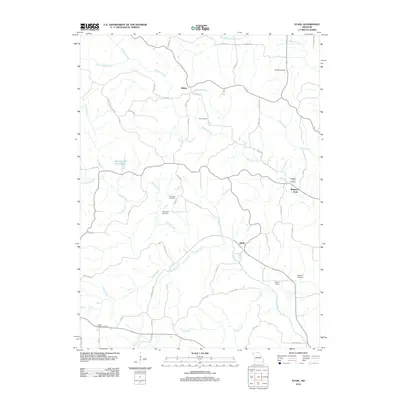 2012 Stahl2012 Print · USGSAdair County at the start of the 2010s remains a landscape of quiet rural settlements and family heritage. Researchers can trace the lineage of the region through numerous sites like Shibleys Point Cemetery, Morelock Cemetery, and the rail-linked Stroup Siding.
 - 2012 Map of Brashear, 2012 Print
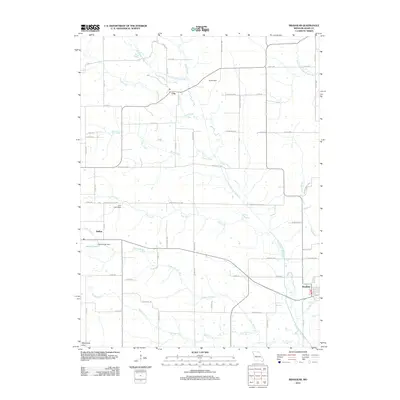 2012 Brashear2012 Print · USGSAdair County farm country and the headwaters of the Salt River system are captured here in the early twenty-first century. Researchers can trace rural settlement patterns through family-named lanes and small communities like Clay, Bullion, and the town of Brashear.
 - 2012 Map of Novinger, 2012 Print
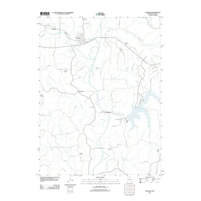 2012 Novinger2012 Print · USGSAdair County at the start of the 2010s shows a landscape where river valleys and modern recreation meet. Genealogists can locate numerous family burial sites like Parcell Salisbury Cemetery and Collett Cemetery near settlements such as Novinger and Tipperary.
 - 2012 Map of Kirksville, 2012 Print
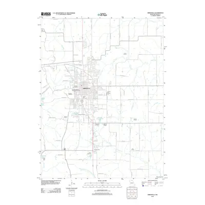 2012 Kirksville2012 Print · USGSKirksville and its surrounding Adair County landscapes are captured here during a period of sustained academic and civic growth. Genealogists and historians can trace local family landmarks through Park View Memorial Gardens or Cater Cemetery, and locate the historic Troy Mills settlement.
 - 2012 Map of Gifford, 2012 Print
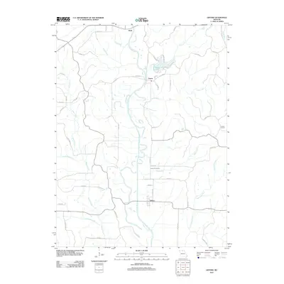 2012 Gifford2012 Print · USGSAdair County’s river valleys and rural crossroads are captured here during the early 2010s as the landscape transitions through modern mapping. Genealogists can locate family sites at Indian Hill Cemetery and Canaday Cemetery or trace old routes like Sugar Creek School Trl.
 - 2012 Map of Locust Hill, 2012 Print
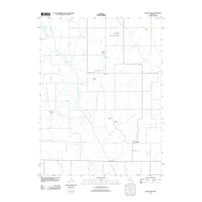 2012 Locust Hill2012 Print · USGSLocust Hill and the surrounding Knox County countryside are documented here in the early twenty-first century. Genealogists and local historians can locate family burial sites like Mount Taber Cemetery and Shelton Cemetery along the banks of the North Fork Salt River.
 - 2012 Map of Greentop, 2012 Print
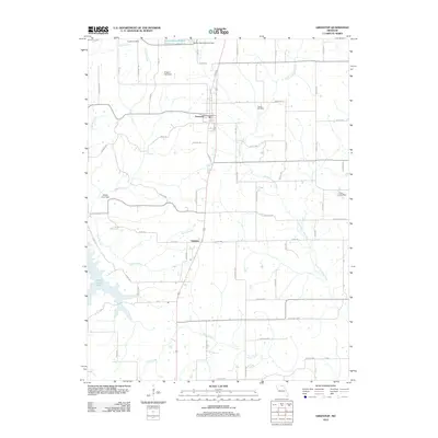 2012 Greentop2012 Print · USGSNorth Missouri’s agricultural landscape is captured here in the early 21st century as it surrounds the community of Greentop. Researchers can locate family landmarks such as Fugate Cemetery, trace the North Fork Salt River, and identify rural settlements like Sublette.
 - 2012 Map of Millard, 2012 Print
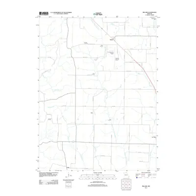 2012 Millard2012 Print · USGSAdair and Macon Counties are captured here in the early 2010s, showing the rural landscape between the river forks. Genealogists can trace family footprints at Stukey Cemetery, Shaver Cemetery, and the small settlement of Millard.
 - 2015 Map of Connelsville, 2015 Print
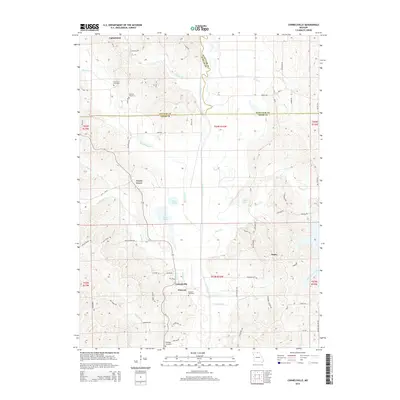 2015 Connelsville2015 Print · USGSNorth of the Adair county line during the mid-2010s, this area maintains its rural character along the winding Chariton River. Researchers can trace family history through local landmarks like Nineveh, Connelsville, and the Hatfield Cemetery.
 - 2015 Map of Pure Air, 2015 Print
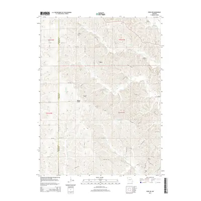 2015 Pure Air2015 Print · USGSThe rural border of Sullivan and Adair Counties is documented here in the mid-2010s, showing a landscape of small settlements and family farms. Researchers can trace ancestral locations through numerous burial sites like Ringo Point Cemetery and Pratt Cemetery, or locate the historic Mines near Pure Air.
 - 2015 Map of Willmathsville, 2015 Print
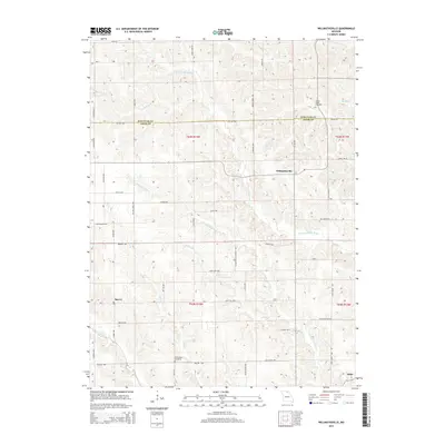 2015 Willmathsville2015 Print · USGSUpper Missouri's river-cut hills are shown here in the mid-2010s, straddling the Schuyler and Adair county line. Local historians can trace family roots near Willmathsville or locate the Bridge Creek Cemetery and Richardson Cemetery among the many forks of the Fabius River.
 - 2015 Map of Novinger, 2015 Print
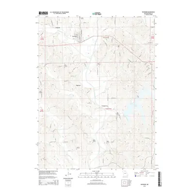 2015 Novinger2015 Print · USGSAdair County at the start of the 2010s shows a landscape defined by the Chariton River and its many tributaries. Researchers can locate numerous family and community burial sites like Mount Moriah Cemetery and Lutz Cemetery near Novinger.
 - 2015 Map of Stahl, 2015 Print
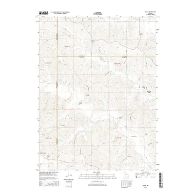 2015 Stahl2015 Print · USGSAdair and Putnam counties maintain their rural character in this modern survey of northern Missouri. Genealogists can trace family roots through several local landmarks like Shibleys Point Cemetery, Stahl, and the Green Castle Cemetery.
 - 2015 Map of La Plata, 2015 Print
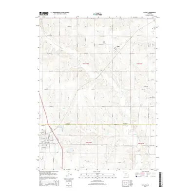 2015 La Plata2015 Print · USGSLa Plata and the surrounding farmlands of Adair and Macon Counties are captured here in the mid-2010s. Local researchers can trace family landmarks like Gibbs Union Cemetery or follow the waters of the Middle Fork Salt River and Santa Fe Lake.
 - 2015 Map of Hurdland, 2015 Print
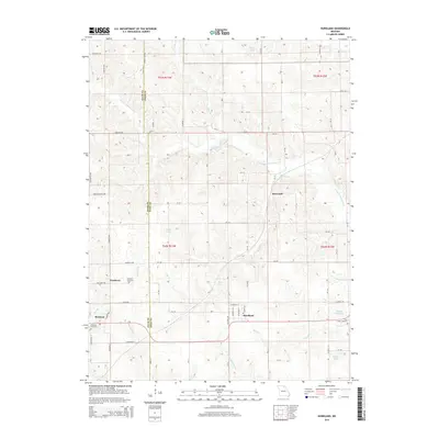 2015 Hurdland2015 Print · USGSNortheast Missouri agriculture and river drainage define the landscape during the early 2010s. Researchers can trace family history at Paultown Cemetery or follow the paths of the S Fork S Fabius River and Little Fabius River through Hurdland.
 - 2015 Map of Brashear, 2015 Print
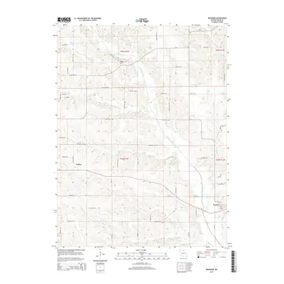 2015 Brashear2015 Print · USGSAdair County at the midpoint of the second decade reveals a deeply dissected agricultural landscape shaped by the N Fork Salt River. Genealogists and local historians can locate the small settlements of Brashear, Bullion, and Clay alongside named landmarks like Patten Lake.
 - 2015 Map of Kirksville, 2015 Print
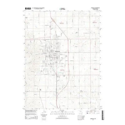 2015 Kirksville2015 Print · USGSKirksville was thriving as a regional center for education and health sciences in the mid-2010s. Researchers can trace local lineage through several burial grounds like Maple Hill Cemetery and Bear Creek Cemetery or locate the site of Troy Mills.
 - 2015 Map of Locust Hill, 2015 Print
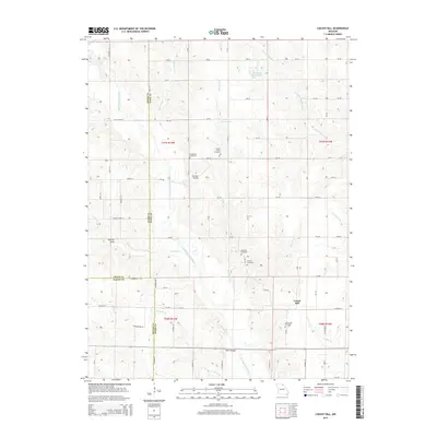 2015 Locust Hill2015 Print · USGSKnox County farmland and the three-county border are documented here in the mid-2010s. Genealogists can locate several rural burial grounds including Mount Taber Cemetery and Locust Hill Cemetery, or trace Feltz's Bridge across the river.
Showing maps 1-25 of 45
Top cities of Adair County
- Kirksville historical maps
- Novinger historical maps
- Brashear historical maps
- Gibbs historical maps
- Millard historical maps
Frequently asked questions
- What are the different types of historical maps available for Adair County?
- What is the oldest map of Adair County?
- Where can I purchase historical maps of Adair County for my home or office?
- Where can I download high-res historical maps of Adair County?
- Are there historical topographic maps available for Adair County?
- Is there historical aerial imagery available for Adair County?
- Where are historical maps of Adair County sourced from?