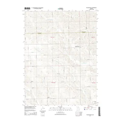
2015 Map of Willmathsville
USGS Topo · Published 2015About this map
The N Fork S Fabius River and its numerous tributaries, including the Cottonwood Fork and Tauaninny Br, carve a complex drainage pattern across the border of Schuyler and Adair Counties. The small community of Willmathsville sits centrally among these winding waterways, while Sperry and Adair anchor the southwestern and southeastern corners of the region. This 2015 survey illustrates a landscape of deeply dissected ridges, where road names like Wilmathsville School Way and Lone Pine Way trace the high ground between creek beds.
Find a feature on this map
55 named features on this map. Tap any name to fly to it.
Don’t see what you’re looking for? This feature index may not catch every label — zoom into the map to look around manually.
Map Details
Editions of this 2015 Willmathsville Map
This is the sole edition of this map. No revisions or reprints were ever made.
Other maps of this area

1903 · Edina
USGS Topo · 1:125,000

1911 · Queen City
USGS Topo · 1:62,500

1913 · Queen City
USGS Topo · 1:62,500

1938 · Kirksville
USGS Topo · 1:62,500

1940 · Kirksville
USGS Topo · 1:62,500

1954 · Centerville
USGS Topo · 1:250,000

1957 · Centerville
USGS Topo · 1:250,000

1958 · Centerville
USGS Topo · 1:250,000

1965 · Downing NW
USGS Topo · 1:24,000

1966 · Brashear
USGS Topo · 1:24,000