
1966 Map of Brashear
USGS Topo · Published 1967About this map
The North Fork Salt River and its numerous tributaries, including Lost Creek and Floyd Creek, dominate the landscape of eastern Adair County in the mid-1960s. The settlement of Brashear anchors the southeastern corner of the quadrangle, situated along the tracks of the Chicago Burlington and Quincy railroad. This rail line cuts a straight path across the southern half of the sheet, providing a vital link for the rural communities of Bullion and Clay. The map reveals a deeply established social fabric through its network of country institutions, such as East Center Ch, Hazel Green Ch, and Sabbath Home Ch. The presence of the East Center Sch alongside its namesake church suggests a long-standing community center in the township of Clay, where the terrain transitions from agricultural uplands to the wooded draws of the Salt River forks.
Find a feature on this map
16 named features on this map. Tap any name to fly to it.
Don’t see what you’re looking for? This feature index may not catch every label — zoom into the map to look around manually.
Map Details
Editions of this 1966 Brashear Map
This is the sole edition of this map. No revisions or reprints were ever made.
Other maps of this area

1903 · Edina
USGS Topo · 1:125,000

1911 · Queen City
USGS Topo · 1:62,500

1913 · Queen City
USGS Topo · 1:62,500

1938 · Kirksville
USGS Topo · 1:62,500

1940 · Kirksville
USGS Topo · 1:62,500

1954 · Centerville
USGS Topo · 1:250,000

1957 · Centerville
USGS Topo · 1:250,000

1958 · Centerville
USGS Topo · 1:250,000
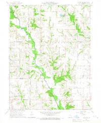
1965 · Locust Hill
USGS Topo · 1:24,000
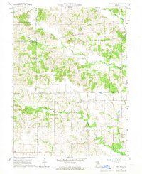
1966 · Bible Grove
USGS Topo · 1:24,000