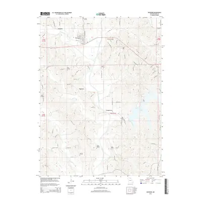
2015 Map of Novinger
USGS Topo · Published 2015About this map
Novinger and its neighboring settlements sit amidst the rolling landscape of Adair County, defined by the winding course of the Chariton River. This early 21st-century record shows a mix of small towns like Danforth, Tipperary, and Youngstown connected by a network of rural roads and descriptive trails such as First Settlement Trl. The map is particularly valuable for genealogists, as it identifies numerous burial grounds scattered across the countryside, including the Novinger Cemetery, Pinkerton Cemetery, and the Sloans Point Cemetery near the shores of Forest Lake. The terrain is marked by distinctive rises like Dave Hill and numerous named tributaries like Spring Creek and Billy Cr, illustrating the drainage patterns that have historically shaped local agricultural and settlement footprints in north-central Missouri.
Find a feature on this map
97 named features on this map. Tap any name to fly to it.
Don’t see what you’re looking for? This feature index may not catch every label — zoom into the map to look around manually.
Map Details
Editions of this 2015 Novinger Map
This is the sole edition of this map. No revisions or reprints were ever made.
Other maps of this area

1911 · Queen City
USGS Topo · 1:62,500

1912 · Green City
USGS Topo · 1:62,500

1913 · Queen City
USGS Topo · 1:62,500

1914 · Green City
USGS Topo · 1:62,500

1938 · Kirksville
USGS Topo · 1:62,500

1940 · Kirksville
USGS Topo · 1:62,500

1954 · Centerville
USGS Topo · 1:250,000

1957 · Centerville
USGS Topo · 1:250,000

1958 · Centerville
USGS Topo · 1:250,000

1963 · Pure Air
USGS Topo · 1:24,000