2000s (21st Century) Maps of Mexico, Missouri
Explore 16 historic maps of Mexico from the 2000s (21st Century). These maps offer a rare glimpse into what life looked like during the 2000s — showing old roads, neighborhoods, homes, and landmarks that have changed or disappeared over time.
Whether you're researching your family's past, planning a metal detecting trip, or studying how Mexico's landscape evolved across the 2000s, these high-resolution maps are a powerful tool for exploring the history of this region.
- Focus on a specific era: All maps on this page are from the 2000s, giving you a focused view of this time period.
- See what’s changed: Compare century-old streets, trails, and buildings to today's modern landscape using overlays and satellite layers.
- Research with precision: Use these maps for genealogy, historical research, land use analysis, or educational projects.
- View, download, or print: Maps are fully viewable online in high resolution, and can be downloaded or printed for your own records.
Start exploring Mexico's history through authentic maps from the 2000s. This is your window into the past.
Mexico, MO maps
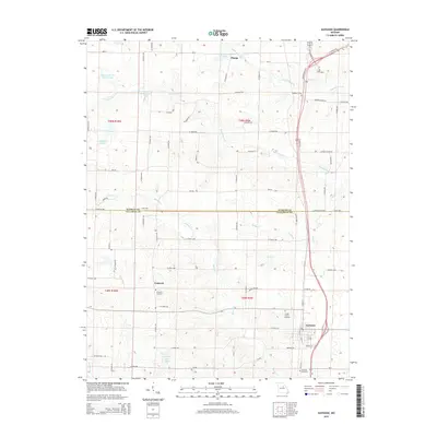
(16)- 2012 Map of Auxvasse, 2012 Print
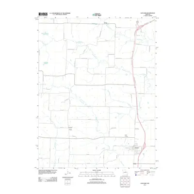 2012 Auxvasse2012 Print · USGSCovers Mexico, including Auxvasse, Champ, and other nearby areas
 - 2012 Map of Mexico SE, 2012 Print
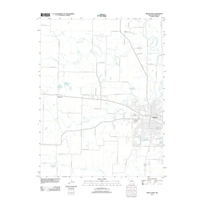
 2012 Mexico SE2012 Print · USGSCovers Mexico, including Callaway County, Audrain County, and other nearby areas
 - 2012 Map of Mexico East, 2012 Print
 2012 Mexico East2012 Print · USGSCovers Mexico, including Benton City, Vandiver, and other nearby areas
 - 2012 Map of Mexico West, 2012 Print
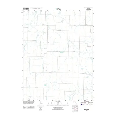
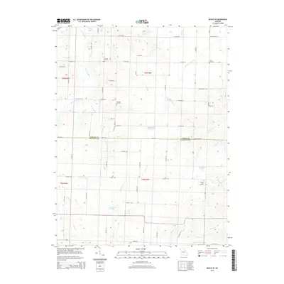
 2012 Mexico West2012 Print · USGSCovers Mexico, including Thompson, Audrain County, and other nearby areas
 - 2014 Map of Mexico West, 2014 Print
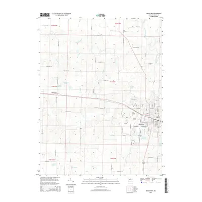 2014 Mexico West2014 Print · USGSCovers Mexico, including Thompson, Audrain County, and other nearby areas
 - 2014 Map of Mexico SE, 2014 Print
 2014 Mexico SE2014 Print · USGSCovers Mexico, including Callaway County, Audrain County, and other nearby areas
 - 2014 Map of Mexico East, 2014 Print
 2014 Mexico East2014 Print · USGSCovers Mexico, including Benton City, Vandiver, and other nearby areas
 - 2015 Map of Auxvasse, 2015 Print
 2015 Auxvasse2015 Print · USGSCovers Mexico, including Auxvasse, Champ, and other nearby areas
 - 2017 Map of Mexico East, 2017 Print
 2017 Mexico East2017 Print · USGSCovers Mexico, including Benton City, Vandiver, and other nearby areas
 - 2017 Map of Mexico SE, 2017 Print
 2017 Mexico SE2017 Print · USGSCovers Mexico, including Callaway County, Audrain County, and other nearby areas
 - 2017 Map of Mexico West, 2017 Print
 2017 Mexico West2017 Print · USGSCovers Mexico, including Thompson, Audrain County, and other nearby areas
 - 2017 Map of Auxvasse, 2017 Print
 2017 Auxvasse2017 Print · USGSCovers Mexico, including Auxvasse, Champ, and other nearby areas
 - 2021 Map of Mexico West, 2021 Print
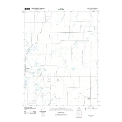
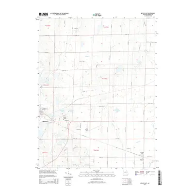
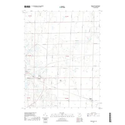
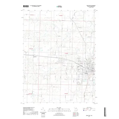
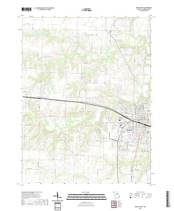 2021 Mexico West2021 Print · USGSThe city of Mexico and the village of Thompson appear in modern detail in this recent look at Audrain County. Genealogists and local historians can locate the Audrain County Courthouse, Trinity Cem, and Mrs Sam Locke Lake.
 - 2021 Map of Mexico SE, 2021 Print
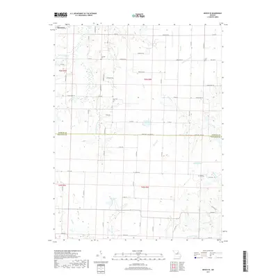
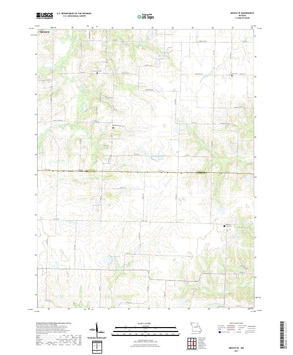 2021 Mexico SE2021 Print · USGSAudrain and Callaway Counties are captured here in the 2020s at the hydrological divide between the Salt and Loutre rivers. Family historians can locate New Hope Cem, Lockridge Cem, and Don Woods Lake among the section lines.
 - 2021 Map of Mexico East, 2021 Print
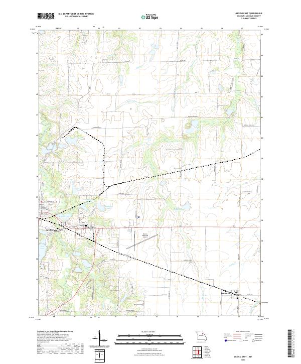 2021 Mexico East2021 Print · USGSThe eastern outskirts of Mexico and the surrounding Audrain County farmlands are shown here in detail during the early 2020s. Genealogists and local historians can locate the East Lawn Memorial Cem, the village of Vandiver, and the rural community of Benton City.
 - 2021 Map of Auxvasse, 2021 Print
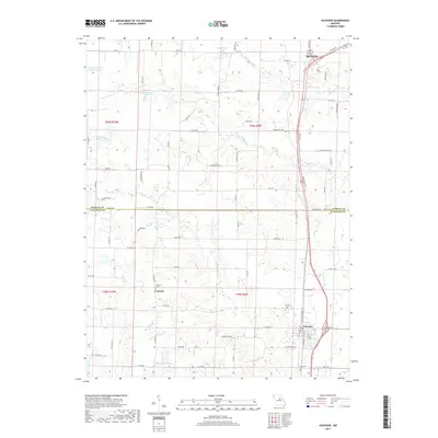
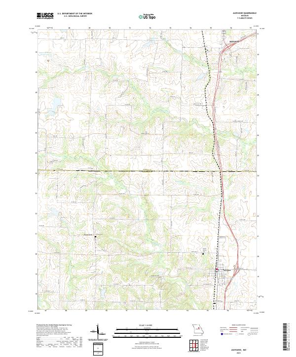 2021 Auxvasse2021 Print · USGSThe rural borderlands between Callaway and Audrain Counties are shown in detail as they appeared in 2021. Genealogists and local historians can trace family roots through several established burial grounds, including Concord Cem, Grand Prairie Cem, and Auxvasse Cem.
End of results
Showing maps 1-16 of 16
Top cities near Mexico
- Auxvasse historical maps
- Laddonia historical maps
- Martinsburg historical maps
- Kingdom City historical maps
- Rush Hill historical maps
- Benton City historical maps
See more
Frequently asked questions
- What are the different types of historical maps available for Mexico?
- What is the oldest map of Mexico?
- Where can I purchase historical maps of Mexico for my home or office?
- Where can I download high-res historical maps of Mexico?
- Are there historical topographic maps available for Mexico?
- Is there historical aerial imagery available for Mexico?
- Where are historical maps of Mexico sourced from?