Old Maps of Mexico, Missouri for Hiking & Exploration
Hike through history with 25 historic maps of Mexico. Explore old trails, ghost towns, and forgotten backroads — perfect for outdoor adventurers and local explorers.
- Rediscover forgotten places: Map out old mining camps, roads, and footpaths that no longer exist on modern maps.
- Layer with modern tools: Combine with LiDAR or satellite views to plan hikes through historical terrain.
- Made for exploration: Popular among hikers, overlanders, and local history lovers.
Use these maps to find adventure and explore the hidden past of Mexico.
Mexico, MO maps
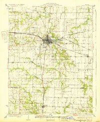
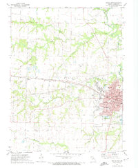
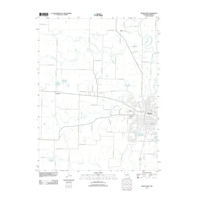
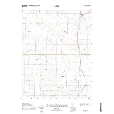
(25)- 1890 Map of Mexico
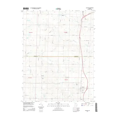
 1890 Mexico1890 Print · USGSMid-Missouri was a bustling junction of rail and river in the late 1880s, where iron rails began to reshape the old prairie. Genealogists can trace family roots in early settlements like Mexico, Laddonia, and the rural community at Shamrock P.O..5 unique versions available
 - 1932 Map of Mexico
 1932 Mexico1932 Print · USGSThe rail hub of Mexico and the surrounding Audrain County farm country are captured here between the wars, just as modern highways began to parallel the older tracks. Genealogists can locate dozens of country schools and churches, from Hedgesdale Sch to Sunrise Ch, and the grounds of the Mo Military Academy.3 unique versions available
 - 1948 Map of Quincy
 1948 Quincy1948 Print · USGSThe Mississippi and Illinois River valleys are captured at a post-war crossroads as rail and river travel met the expanding highway system. Genealogists can trace family settlements from Quincy to Hannibal and smaller towns like Vandalia and Jerseyville.2 unique versions available
 - 1956 Map of Quincy, 1967 Print
 1956 Quincy1967 Print · USGSThe river and rail corridors of the Illinois-Missouri border are documented here during the mid-1950s. Researchers can trace historic river landings and regional transit hubs from Quincy and Hannibal to smaller settlements like Meredosia and Roodhouse.3 unique versions available
 - 1972 Map of Mexico East
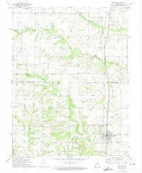
 1972 Mexico East1972 Print · USGSThe eastern outskirts of Mexico, Missouri, are documented here in the early 1970s as the area balanced its agricultural roots with industrial and aviation growth. Genealogists and historians can trace the Missouri Military Academy, the village of Benton City, and numerous old Claypits scattered near the South Fork Salt River.2 unique versions available
 - 1972 Map of Auxvasse, 1974 Print
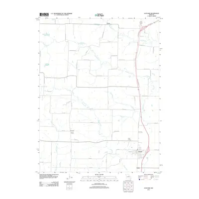
 1972 Auxvasse1974 Print · USGSCallaway and Audrain counties are shown in the early seventies during a period of steady rural character. Genealogists can locate family sites near Auxvasse and Concord, or trace the Gulf Central Illinois rail line and Grand Prairie Cem.
 - 1972 Map of Mexico SE, 1974 Print
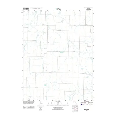
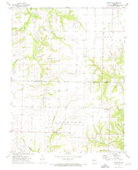 1972 Mexico SE1974 Print · USGSThe rural borderlands of Audrain and Callaway counties are captured here in the early seventies. Genealogists and local historians can trace family roots through sites like New Hope Cem, the settlement at Watts, and the industrial Claypits.2 unique versions available
 - 1972 Map of Mexico West, 1974 Print
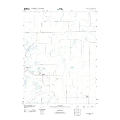
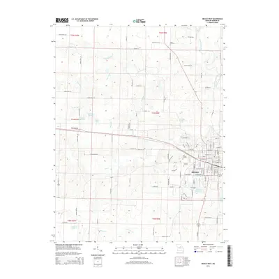
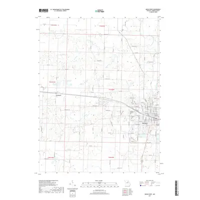
 1972 Mexico West1974 Print · USGSThe western edge of Mexico and its surrounding farmstead country are captured here in the early 1970s. Genealogists and local historians can trace the paths of the ILLINOIS CENTRAL GULF railroad and locate family sites near St Brendans Cemetery or the County Farm.2 unique versions available
 - 1986 Map of Mexico
 1986 Mexico1986 Print · USGSEast Central Missouri in the mid-eighties shows a landscape of steady agricultural towns and the expansive waters of Mark Twain Lake. Genealogists and historians can trace rail-side communities like Laddonia and Wellsville or locate family markers at Elwood Cem.2 unique versions available
 - 2012 Map of Auxvasse, 2012 Print
 2012 Auxvasse2012 Print · USGSCovers Mexico, including Auxvasse, Champ, and other nearby areas
 - 2012 Map of Mexico SE, 2012 Print
 2012 Mexico SE2012 Print · USGSCovers Mexico, including Callaway County, Audrain County, and other nearby areas
 - 2012 Map of Mexico East, 2012 Print
 2012 Mexico East2012 Print · USGSCovers Mexico, including Benton City, Vandiver, and other nearby areas
 - 2012 Map of Mexico West, 2012 Print
 2012 Mexico West2012 Print · USGSCovers Mexico, including Thompson, Audrain County, and other nearby areas
 - 2014 Map of Mexico West, 2014 Print
 2014 Mexico West2014 Print · USGSCovers Mexico, including Thompson, Audrain County, and other nearby areas
 - 2014 Map of Mexico SE, 2014 Print
 2014 Mexico SE2014 Print · USGSCovers Mexico, including Callaway County, Audrain County, and other nearby areas
 - 2014 Map of Mexico East, 2014 Print
 2014 Mexico East2014 Print · USGSCovers Mexico, including Benton City, Vandiver, and other nearby areas
 - 2015 Map of Auxvasse, 2015 Print
 2015 Auxvasse2015 Print · USGSCovers Mexico, including Auxvasse, Champ, and other nearby areas
 - 2017 Map of Mexico East, 2017 Print
 2017 Mexico East2017 Print · USGSCovers Mexico, including Benton City, Vandiver, and other nearby areas
 - 2017 Map of Mexico SE, 2017 Print
 2017 Mexico SE2017 Print · USGSCovers Mexico, including Callaway County, Audrain County, and other nearby areas
 - 2017 Map of Mexico West, 2017 Print
 2017 Mexico West2017 Print · USGSCovers Mexico, including Thompson, Audrain County, and other nearby areas
 - 2017 Map of Auxvasse, 2017 Print
 2017 Auxvasse2017 Print · USGSCovers Mexico, including Auxvasse, Champ, and other nearby areas
 - 2021 Map of Mexico West, 2021 Print
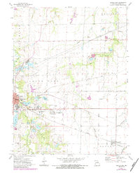
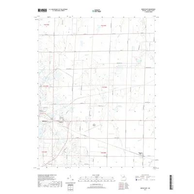
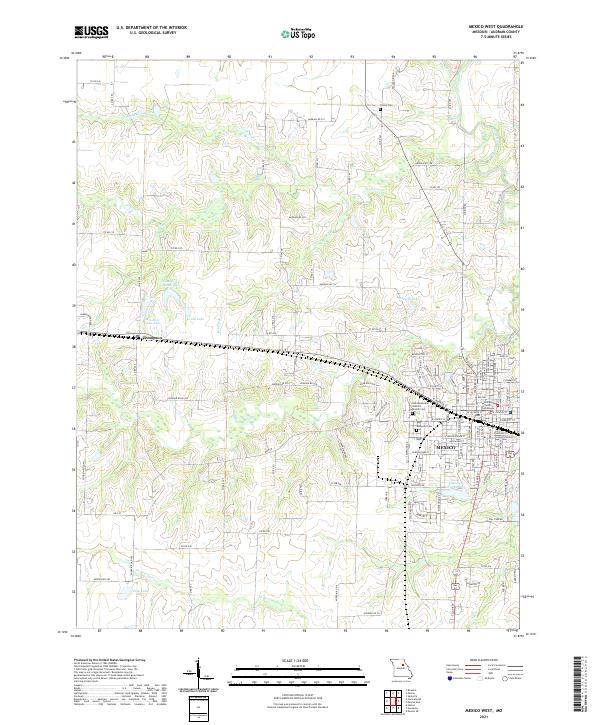 2021 Mexico West2021 Print · USGSThe city of Mexico and the village of Thompson appear in modern detail in this recent look at Audrain County. Genealogists and local historians can locate the Audrain County Courthouse, Trinity Cem, and Mrs Sam Locke Lake.
 - 2021 Map of Mexico SE, 2021 Print
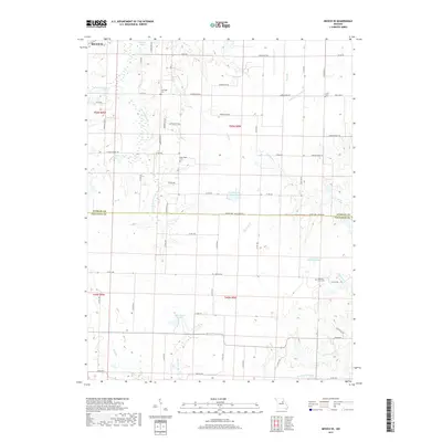
 2021 Mexico SE2021 Print · USGSAudrain and Callaway Counties are captured here in the 2020s at the hydrological divide between the Salt and Loutre rivers. Family historians can locate New Hope Cem, Lockridge Cem, and Don Woods Lake among the section lines.
 - 2021 Map of Mexico East, 2021 Print
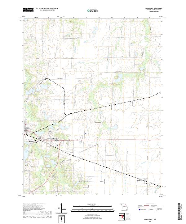 2021 Mexico East2021 Print · USGSThe eastern outskirts of Mexico and the surrounding Audrain County farmlands are shown here in detail during the early 2020s. Genealogists and local historians can locate the East Lawn Memorial Cem, the village of Vandiver, and the rural community of Benton City.
 - 2021 Map of Auxvasse, 2021 Print
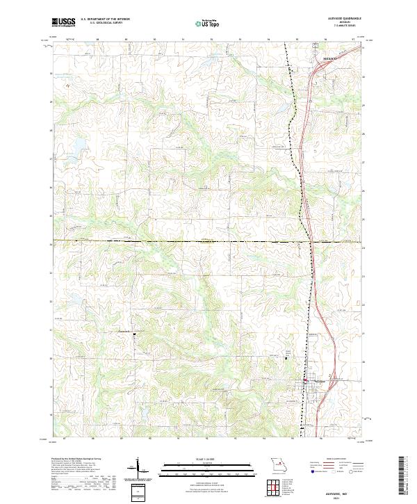 2021 Auxvasse2021 Print · USGSThe rural borderlands between Callaway and Audrain Counties are shown in detail as they appeared in 2021. Genealogists and local historians can trace family roots through several established burial grounds, including Concord Cem, Grand Prairie Cem, and Auxvasse Cem.
End of results
Showing maps 1-25 of 25
Top cities near Mexico
- Auxvasse historical maps
- Laddonia historical maps
- Martinsburg historical maps
- Kingdom City historical maps
- Rush Hill historical maps
- Benton City historical maps
See more
Frequently asked questions
- What are the different types of historical maps available for Mexico?
- What is the oldest map of Mexico?
- Where can I purchase historical maps of Mexico for my home or office?
- Where can I download high-res historical maps of Mexico?
- Are there historical topographic maps available for Mexico?
- Is there historical aerial imagery available for Mexico?
- Where are historical maps of Mexico sourced from?